Today I traveled in a small tourist van. We left San Pedro at Lake Atitlan this morning and arrived in Antigua, Guatemala around noon. The journey took considerably longer than it normally would have, and I was surprised to see so much road damage, especially along the main highways.
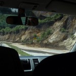
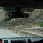
Since I don’t yet feel like writing, I decided to spend my evening posting many of the photos that I took during this morning’s journey. I appologize in advance for the poor quality of many of these photos. It is really difficult to capture a sharply focused clear image when looking through the windows of a moving van.
As usual, these photos are all thumbnail images, and you can click on any of them to get a higher resolution image.
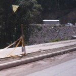
We left San Pedro (northwest end of Lake Atitlan) this morning at around 8:30 a.m. and traveled along the lake to the village of San Pablo. These first photos are of some road damage right along the lake itself.
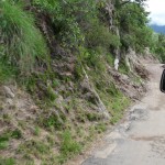
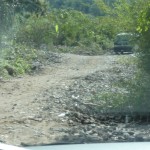
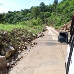
As you can see in this photo, the road ahead is narrow and dirt. Normally this is a wider paved road, but it was covered by mud.
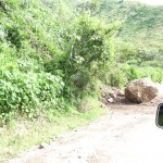
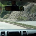
Glad I wasn’t under this rock when it came down onto the road.
It looks like part of this bridge disappeared on the right side of the road. It makes me wonder how stable the remainder of the bridge might be.
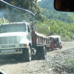
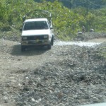
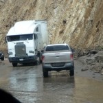
In this section of the road, it looks like a river left piles of rock all over what used to be the pavement. Only a single lane is open, and the going is very bumpy and rough. The large truck is carrying a heavy load of brand new lumber.
More on the same section of road, which is only about ten minutes from San Marcos where I was during the storm. This should be a two lane paved road.
And one more photo in the same spot. We had to wait for all of these vehicles to pass. You can see by the angle of this truck that this section of rocky area is not very level.
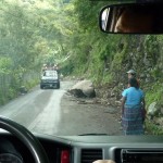
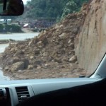
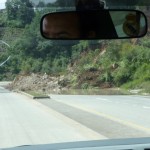
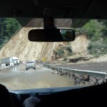
Two landslides partially blocked this road. First the big rock that is completely blocking the right lane, and then another small slide further down past the truck, blocking an even greater portion of the road.
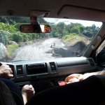
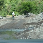
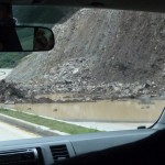
Somewhere underneath this pile of rocks and water is a bridge, probably very similar to the one that got covered over by the river in San Marcos. Our tourist van nearly didn’t make it through the stream in the foreground. We started to high-center and had to back up and try again a couple of times to safely navigate over some high rocks.
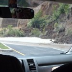
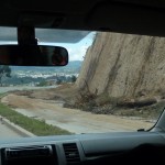
Finally we left the village of San Pablo and began climbing up the side of the steep mountain. In this spot a large mudslide had blocked the road, but has now been cleared to the sides.
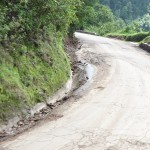
This part of the road was just wet and muddy. The fun stuff was still to come.
This area was quite a bit worse, but still passable. Original estimates were that this road could be closed for a week or more. I was surprised when I learned that it had been opened after only five days.
In this spot, the thick slippery mud only covered half of the road.
Just up ahead, you can see how a slide with large rocks still covers the right half of the road.
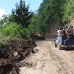
As we continued to wind back and forth on steep switchbacks, we came to one area where we had to wait for our turn on a one lane section of road. This patch of road right here had been burried by a large amount of dark mud.
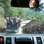
Also of interest is the pickup truck ahead. This is a very common site in Guatemala. On the back roads, people often share crowded rides in the backs of pickup trucks such as this. The back is lined with large pipes, giving everyone something to hang onto while they stand up in the back of the truck.
As you can see, we have already climbed quite high up the steep slopes of this large volcanoe crater. The village of San Pablo is below. San Marcos (where I stayed for a month) is the next village down the lake, around the bend of the mountain beyond San Pablo.
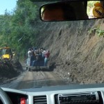
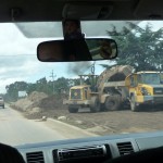
This is by far the worst damage we passed on the way up this switchback-filled steep road. this area had been covered in huge piles of wet mud. A large bulldozer ahead is busy trying to clear some of the mud. Small vans and trucks can make it through here, but I don’t see how the larger Chicken buses could make it through yet …
Following the pickup truck through what must be at least four or five feet of mud that still remains. I’m glad I was not on this road trying to get out when the rains washed it out last Saturday (seven days ago).
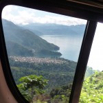
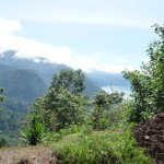
You can barely see the lake in the right center of the photo. As you can tell, we have climbed considerably higher now, and are nearing the top edge of the crater.
Looking down the side of the very steep switchback at the section of road just below, and the village of San Pablo and Lake Atitlan much further below.
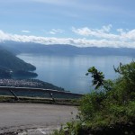
This is a good birds-eye view of the northern part of Lake Atitlan on a fairly clear day. I wish I had a chance to get out here and frame my photo with a clearer focus and better foreground.
Once we climbed over the first row of mountains around the lake, I was surprised to discover that there are even higher mountains behind. We continued to climb up roads like this. For the most part, this section had less debris, but there were still areas where slides had previoiusly blocked the road, even up this high.
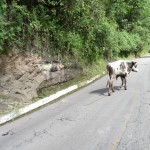
This wandering bull seemed quite confused as it stood in the middle of the road. It paused right in front of us as we got closer.
Once we reached the main divided highway, I expected that the road would be in much better shape. This main highway has two wide lanes running in each direction. I was totally shocked to see a full two lanes of this main highway completely covered by what looks like at least ten feet of mud.
Sorry for the blurry image, and the window reflections …
Under this huge pile of mud on the left are another two lanes of beautifully paved highway. I was quite shocked to see so many mud slides along this main thoroughfare. I had assumed that Lake Atitlan would be stranded and isolated from the rest of Guatemala. I never even imagined that the main roads would also be blocked so badly.
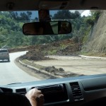
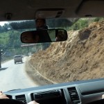
Our driver had to be on alert, as we drove around bends such as this. A smaller slide had completely blocked the lane that we were in, and we had to change lanes to drive around it …
Normally we would have been driving on the right side of this road, but over and over again the four lane road was reduced to two lanes, with two-way traffic running only on one half of the highway.
Another large slide that completely blocked the right two lanes of this divided highway.
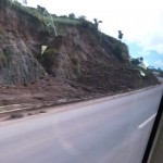
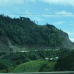
Sorry for how blurry this photo turned out. As we continue to climb the mountain, I am looking out the window toward the rear of the van, capturing a glimpse of the road we were just traveling on below. As you can see, there are some pretty large cuts into the side of the mountain. On the left-most cut you can see how a large slide has fallen onto the road. If you look closely at the right-most cut, you can also see the slide that falls onto the road there …
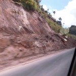
Yet another smaller slide that still blocks the right half of this highway.
And yet another …
Some of the slides were in more populated areas.
Yet another slide that had formerly blocked the entire road.
As we pass through this small town, the right half of the highway is completely covered by heaping piles of mud.
In this spot, as we cross over a four lane bridge, the outside lane on the far side of the road appears to have simply disappeared.
Yet another section where mudslides still render half of the highway unusable.
Yes, there really is a two lane road under all that mud over on the right.
Water was still flowing over this section of highway. I can only guess that the river’s normal channel has been plugged with rocks and mud.
Another view of this very slow stretch of road.
And yet another small slide blocking half of the highway.
Even in this relatively-flat inhabited area, huge piles of mud cover the right half of the highway. I can only imagine that a large flash flood came through here, depositing this mud on the highway, because this was definnitely not a mudslide.
Summary
The above photos are only a few of the hundreds of mudslides that we passed this morning during our three and a half hour drive from San Pedro La Laguna, Lago Atitlan to Antigua, Guatemala. I tried to capture a large number of photos just to show the sheer scale of the damage that was done to Guatemala’s infrastructure. What I have shown here is only a miniscule portion of the mud and debris that still clogs Guatemala’s roads.
I can only imagine how much mud must be covering the roads in other parts of Guatemala’s highlands.
And if the roads have received so much damage, I can also only imagine how much additional damage has been inflicted on the rural villages themselves.
From what I can tell by watching Guatemalan television news, many rural areas of Guatemala’s highlands are without adequate drinking water and are low on food supplies. In some areas where supplies have been distributed, the supplies were not evenly divided up. And many people are still homeless.
My friend Tracy Barnett (the travel writer that I met in Belize) is currently still in the Lake Atitlan area. She has been publishing a few stories about her experiences in helping with the recovery efforts in the small village of San Lucas Toliman on the other side of the lake from San Marcos where I was located. I was actually quite surprised to bump into Tracy last Sunday in San Marcos, just as I was preparing to move over to San Pedro to find a hotel with electricity and water.
If you are interested in reading Tracy’s well-written stories, they are at the following web links. She has some very interesting commentary and great photos.
http://theesperanzaproject.org/2010/06/the-river-will-find-a-way-visiting-with-the-victims/
— and —
http://theesperanzaproject.org/2010/06/neighbors-fend-for-themselves-in-wake-of-storm/
She also has a Facebook page titled “The Esperanza Project”
Hopefully, depending on how I feel, I will begin writing again tomorrow. I am very anxious to crank out a few blog entries, but just cannot seem to write when my stomach has been so weak.
Love to all back home
-Brenda
Copyright © 2010 by Brenda Larsen, All Rights Reserved
