It has taken me three days on awkward internet connections, but I have finally finished uploading a collection of photos that stretch back to right before beginning my Sun Course.
As usual, each of these photos is a thumbnail image along with a short description. If anyone wants to see or download a high resolution image, you can simply click on the photo itself to do so.
Post Tropical Storm Agatha
During my first few days back in San Marcos, the aftermath of Tropical Storm Agatha was still very much on my mind. As you may recall, the tropical storm came raging through Guatemala right after the end of my Moon Course at the end of May.
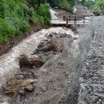
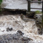
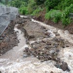
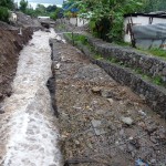
When I returned to San Marcos in late June, I was very surprised by how little cleanup work had been done in the river channel. These first photos were taken on June 18, right as the cleanup was underway.
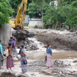
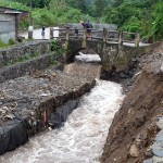
In this photo, a group of Mayan women stand on the main bridge at the edge of town, watching as heavy equipment begins to clear the twelve-foot-deep river channel just above the bridge. Notice that the bridge is still plugged up completely, with pools of water spilling over the top of the bridge.
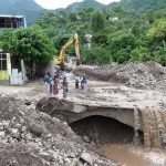
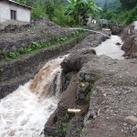
This is the same photo taken a little further away. You can see how the bridge was heavily damaged and is still completely plugged with flash-flood debris. I like this photo because it gives you a little view of the mountains in the background as well.
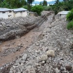
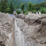
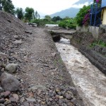
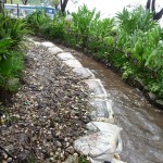
This photo was taken from the same spot, only looking downstream, away from the bridge toward the lake. you can see that there are large piles of rock on both sides of the channel. The lower part down by the soccer field has been mostly cleared. The upper part in the foreground is still quite shallow and plugged by mud and rocks.
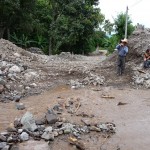
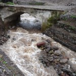
In this photo, I am standing on the west edge of the bridge, looking across the bridge to the east. In the distance you can see the road curve off to the left. It is this road that I follow on a ten minute walk out to Keith’s home (The Chocolate Shaman).
Notice the Mayan man carrying some hand tools that he was using to help clear debris — and notice the huge piles of rock on both sides of the road where rocks have been removed from the channel below. For the next 50 yards of so, the road is still covered with about five feet of rocks.
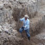
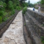
In this photo, a young Mayan man is working hard at manual labor, clearing mud and rocks away from the chain-link bundles of rock that line the river channel synthroid generique.
This photo was taken from down below the soccer field (closer to the lake), looking back up toward the bridge which is just to the right of the blue building.
A little more of the damage down by the soccer field.
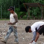
Even in the midst of so much damage, people were gathering various size rocks to use in new construction around the town.
Around The Pyramids
This next group of photos was taken on August 31 when I was already in silence.
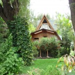
This is a photo of Chaty’s beautiful home as seen from the lake side.
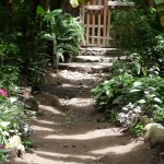
I have frequently written about the muddy paths around town. This one runs right by the lower part of the pyramids. The photo was taken a few hours after a large storm.
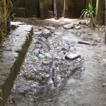
This dirt path runs right through the middle of the pyramids, joining the upper area to the lower area. During a storm, this becomes a small river.
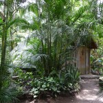
This is the little one-bed pyramid that I called home for three months.
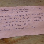
A piece of bathroom-wall poetry that I quoted a few times in my blog. These words deeply inspired me.
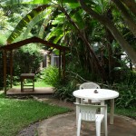
A beautiful little outdoor common area where many of us sat during periods of sunny weather.
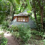
The little “Sun Temple” pyramid where we had classes every morning (except Sunday) at 8:30 a.m.
Not the best photo in the world, but I threw it in just for an example. Throughout the pyramid area, many exotic spiders created beautiful spiral webs in the trees.
Several times in the middle of the night when walking down to the restroom, I would accidently brush into a new web-in-progrss that was being built across the path. I learned to always shine my flashlight up to check for webs before walking down the path at 2:00 a.m.
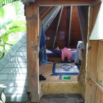
A view looking through my open front door. My room was a tiny bit cluttered here, but you get the picture. I loved the room, but it did get quite musty and moldy inside. The room was quite dark, and I kept the door and window mostly closed in order to keep mosquitos out — plus I lived here during the heart of rainy season.
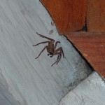
This little spider came to watch me write. This photo was taken on Sept 5. He was perched about four feet above my head, near the peak of my pyramid. I’m guessing he would measure about three inches across from leg-tip to leg-tip.
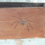
Same spider, six days later. He is also watching me write some more.
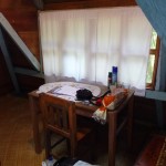
This and the next two photos were taken three days after the Sun Course ended — on the day that I had to move out. This is the small desk in my pyramid bedroom. On the table is my loaf of whole-wheat bread for my daily peanut butter and honey sandwiches …
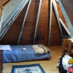
This is the inside of my bedroom — very cozy.
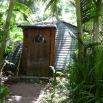
Another view of the outside of my room.
My Sun Course Group – Pre Silence
The following photos were taken in the Pyramids garden on the day before we entered silence. Katie needed to be out running errands, so she is not in these photos…
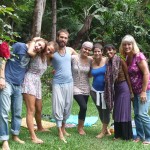
Left to right: Marcel, Narkis, Leif, Sandra, Sharon, N’himsa, Brenda
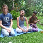
Marcel, Leif, and N’himsa
Sharon and Sandra
Narkis and Marcel
Sun Course Graduation
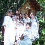
We graduated on the morning of September 21, 2010. These photos were taken shortly before entering the pyramid temple at 8:30 a.m.
Sharon
Sharon, Brenda, Narkis, and Sandra
Sandra, my beautiful roommate.
N’himsa and Leif
Brenda and Sandra
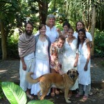
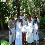
Bottom Front: Zeus, the wonder dog
Front Row: Leif, Katie, Narkis, Sandra, N’himsa
Back Row: Brenda, Sharon, Marcel
Front Row: Leif, Katie, Narkis, Sandra, N’himsa
Back Row: Brenda, Sharon, Marcel
Front Row: Leif, Katie, Narkis, Chaty, Sandra, N’himsa
Back Row: Brenda, Sharon, Marcel
Zeus and Narkis
Marcel and Katie
Katie and Brenda
Chaty walking up the path as she prepares to lead us in our final graduation ceremony.
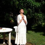
Sandra inhaling the Sun
Sandra in the sun.
Narkis, Sandra, and Pauli
Sharon and Marcel
Brenda and Sandra
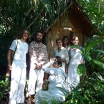
Left to Right: Brenda, Narkis, Marcel, Sharon, N’himsa, Sandra, Katie
Standing in front of our little pyramid temple: Seated in front: Sharon
Back Row: Marcel, Leif, Sandra, N’himsa, Katie
Left to right: Seated in Front: Sharon
Back Row: Brenda, Leif, N’himsa, Sandra, Katie
Sandra and Katie
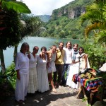
After graduation, preparing to eat breakfast at a beautiful site by the lake.
Brenda, Sandra, Sharon, Narkis, Leif, Marcel, Katie, N’himsa
At Breakfast: Katie and Sandra
At Breakfast: Sandra and Narkis
At Breakfast: Narkis and Sharon
At Breakfast: N’himsa and Leif
At Breakfast: Marcel
At Breakfast: Brenda and N’himsa
Pre-School Photos
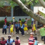
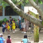
Just around the corner from the pyramids is this cute little pre-school. One day when I walked by (Aug 31) the children were playing basketball, even with uniforms. They were so cute that I could not resist taking a few photos.
Another photo of the pre-school children playing basketball.
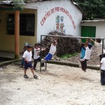
Some little boys at the same pre-school, enjoying some fun on the monkey bars.
Guatemala’s Independence Day
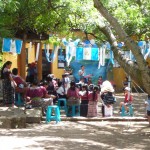
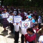
About two weeks later, I walked by the same pre-school and watched as the children participated in a darling Independence day ceremony. Guatemala’s official Independence Day is Sept 15. This particular activity took place on the 13th.
I loved the little boys’ traditional costumes. The little girls wear the same colorful dresses every day, but the boys only dress up like this on special occasions.
Another photo of the children’s ceremony.
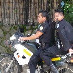
In the entire time I have lived here in San Marcos, I have only seen police officers a couple of times. These two were riding through town in preparation for the Independence Day parade which took place in the morning on Sept 15.
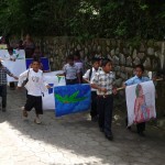
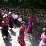
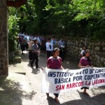
I took quite a few photos at the little home-town parade. I was quite surprised by the number of entries from local schools.
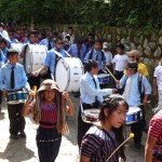
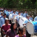
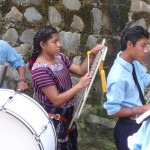
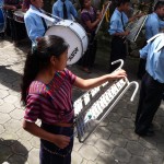
This is a band from one of the older schools groups. Their selection of instruments was quite meager, but they seemed to be having a great time.
More of the same band. This band, and probably many of the others, have been practicing in various parts of San Marcos most every day for the last month or two. The penetrating beat of these big base drums can be heard all over the town.
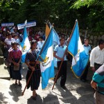
Some of the youth carying the colorful Guatemalan flags
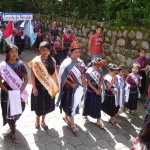
An ensemble of beauty queens from the various schools in town. They really start young here.
Another group marching in the parade.
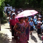
The woman carrying the pink umbrella makes the best veggie burritos I have ever eaten. She works in one of the restaurants where I frequently eat lunch.
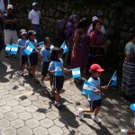
Some darling children carrying Guatemalan flags.
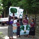
I loved these little homemade pictures that these children are carrying. The green bird with the long tail is the Quetzal bird — the national bird of Guatemala.
Zoomed photo of two of these young children.
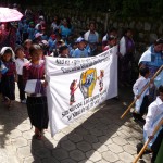
Another group carrying a different type of homemade signs. Quite creative.
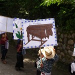
Some more of the fun signs. This one is of a “Marimba”. Marimbas are quite popular here in Guatemala.
These girls were marching behind a sign that read “Nuestras Trajes” which means “Our clothing”. I can only assume that they belong to a sewing school.
More local youth carrying homemade signs.
Yet another group of marching children.
The woman in front is Irma — one of the beautiful Mayan women who work in the office at Las Piramides del Ka. I am not sure who the young girl holding her hand might be.
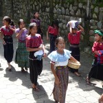
Yet another small group in beautiful clothing.
A second band from a different school here in San Marcos.
And yet another band from another school.
Closeup of the latter band.
More closeups of the same band.
And yet another …
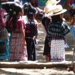
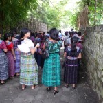
These women were marching at the end of the parade. I took this photo to show he beautiful colorful clothing that these Mayan women wear.
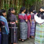
More beautifully-dressed Mayan women.
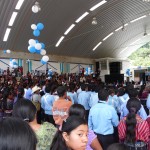
This hometown celebration took place in the large covered multi-sports court at the center of town. On the stage at the far right, a young man is singing the Guatemalan National Anthem.
Post-Storm Photos
On September 3, a powerful storm blew through San Marcos, causing more damage to the drainage river that runs through town. The next morning, I walked around during my silence to capture a few more photos.
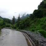
This photo does not show any of the damage, but it is a beautiful photo looking up the canyon above San Marcos. The river channel is just to the right.
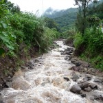
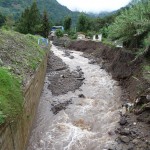
This is the river that runs into town, again showing the beautiful scenery of the mountains behind. Just below where I took this photo, the river enters the little man-made channel that continues to have problems.
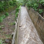
This photo is taken from the same spot looking south through town and towards the lake. You can see that at this point, the channel is clear and about 12 feet deep.
This is the remains of some of the damage from Tropical Storm Agatha in May. This is where the first portion of the wall fell at that time. The chain-link bundles of rock that had fallen over were emptied and the extra fencing material was attached to the still-standing wall.
The little bridge below is beginning to be undermined by flowing river water.
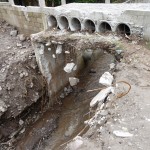
Normally this river would run through the small opening at the far right of the photo, but since the wall collapsed, the water has been forced into the left side of the bridge where it is eating away at the bridge’s foundation.
This is yet another view of the Tropical Storm Agatha damage, looking North from the top of the small bridge at the wall that collapsed in May.
This photo is from the same bridge looking south toward the lake. This new section of wall collapsed on the evening of Sept 3 from the massive rains that we had. The water undermined the wall before it collapsed, and then began to run behind the wall, eating away at the hillside.
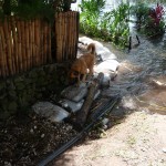
This is taken from a little way further downstream, looking back up toward the small bridge at the newly-collapsed wall. You can see how the path on the right is begining to lose its foundation.
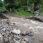
Another similar view taken from a little further downstream. If you look closely, you can see a water pipe that used to span the small river. The pipe has been broken. This is an example of the extremely fragile water system here in San Marcos. It does not take much of a storm to cause the water supply to stop.
This is taken from the same spot, but looking the other way, downstream toward the lake. In this photo, you can see the main bridge through town that was heavily damaged during Tropical Storm Agatha in May. The channel has now been dug out, and is nearly back to its original depth.
This photo was taken from just below the main bridge, looking back north toward the mountains. I took it just to show how the debris from Agatha has now been cleared.
This photo was taken quite a bit further downstream (closer to the lake). On the left are walls of rock where the footbal (soccer) field used to be. The field has been cleared, but is quite muddy. The building with the blue second story (further up the river) is right by the main bridge through town.
One reason for the drainage problems is the tiny size of this channel which joins the bottom portion of the river to the lake. It could not handle the massive volume of water and rocks, causing the major backup that began at the soccer field.
This is where the river empties into Lake Atitlan. It used to empty right into the lake, but now empties into a huge delta filled with rocks and mud. The lake is so high that the wall here which used to be over ten feet tall is now only a couple feet above water level.
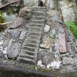
I threw this photo in because it reminded me of a pyramid that I saw during a visualization in my room during the Moon Course (the one where a stream of clear water was running down the steps and then mud was thrown onto the steps). This particular pyramid is only about two feet tall and was in front of a lake front home here on Lake Atitlan.
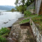
In this photo, I am standing by the small pyramid and am looking east toward the center portion of San Marcos. The water level is extremely high right now. I would guess it is eight to ten feet higher than when I arrived in April. This whole area here used to have beautiful paths where you could stroll along the shore of the lake. Those paths are now all under water.
Lake Atitlan Lake Levels
I cannot explain why, but for some reason, I have been fascinated by the rapidly rising lake levels here at Lake Atitlan. I am including a group of photos here that illustrates the rapid rise in the water.
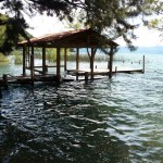
This first photo was taken on May 18, about one week before Tropical Storm Agatha. This is the main covered boat dock here in San Marcos. It is hard to tell from this angle, but the covered platform is considerably higher than the water. I would guess that it is at least six or seven feet above water level at this point in time.
This was taken on August 31. The deck of the covered area is now covered by a few inches of water and crews are building a new dock about three feet higher than the water level. You can also note the bench in the left-middle of the platform to get some perspective.
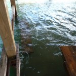
This photo was taken the morning after another big storm collapsed another section of the river wall (Sept 4). If you look closely, you can see that the water is up at least another foot only four days later.
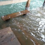
Another photo on the same day. You can see how the bench is now almost covered.
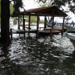
This photo was taken nine days later (Sept 13). Here, the water has almost completely covered the new higher dock.
Another photo from the 13th, showing the bench now submerged beneath at least six inches of water … and the levels continue to rise.
I have not taken new photos, but this dock is now covered, and the dock has been moved yet again.
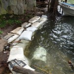
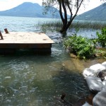
This shows a wall of sandbags that was placed so that passengers could walk over to the dock (Aug 31). This area was later replaced with a three foot higher walkway, which still flooded.
Looking east from the boat dock at what used to be beautiful shorline with trails. Now the water is crowding everyone’s property, making foot traffice impossible.
Takin on Sept 13, this photo shows the new higher platform-path which is also now under water.
Looking back from the dock in the other direction. Today, this whole area is underwater, and the floating dock at the left edge of the photo is now being utilized.
An August 31 view of the path leading to the dock. Notice the rock wall by the trees. This is now completely covered and the plants are all drowning.
A Sept 4 view of the path leading to the dock.
A Sept 13 view of the same area. The wall is now completely under water in this photo. The big dog is Zeus from the pyramids.
Yet another angle of this area of the shoreline. The big floating dock has now been pushed further out and a platform has been built joining the sandbags at the right to the floating dock. The platform is now almost underwater.
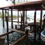
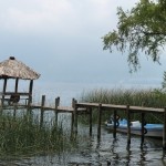
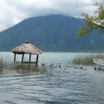
This is a photo that I took on April 26, right at the start of my Moon Course. It is a private dock owned by Posada Shuman — a hotel where I stayed for a few days.
The platform under the grass hut is at least six feet above water level.
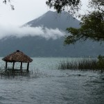
An August 31 view of the same area.
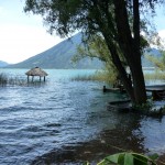
And a Sept 4 view … after the big rainstorm.
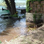
And a Sept 13 view. The platform is now covered by at least four feet of water.
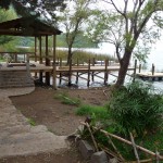
Another lakefront shot near the boat docks. Their used to be beautiful foot paths in this area. Now it is totally inaccessable.
This is the lake wall below Chaty’s home. It used to be very tall. Now workers are hurriedly working to build it even taller. The top two feet of this wall appear to be brand new as the worker prepares to add even more rocks on top.
