It has been over nine months since I posted photos. For several weeks now, I have used moments of my spare time to organize and categorize all of my photos from the last year. Yesterday, I spent considerable time babysitting the uploading of 538 photos, the last few of which I finished this morning.
Wow, I had no idea I was so far behind. This first post will contain a little over 80 miscellaneous photo, including lake levels, a trip to the mountains for a fire ceremony, and a few photos from Easter. In subsequent days I will be posting several additional photo blogs, containing photos from the week when my dear friend Pyper was here in April, and photos from an amazing ceremony where my dear friend Isaias graduated his training and became a Mayan Sacerdote (Priest)
As usual, each photo here is a thumbnail image. If you desire to download, or see a larger, higher-resolution photo, you can simply click on the small photos and view to your heart’s content. Many of the thumbnail images are poorly clipped at the edges, and too small to see the details, so if you have the internet bandwidth, click away to see more details.
Lake Levels
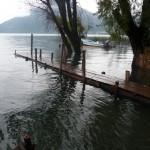
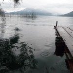
As usual, the lake levels here at Lake Atitlan continue to rise during the rainy season. Usually, they rise about three feet in the rainy season and drop back down in the dry season, but the last few years the rising has far out paced the falling. I am fascinated by watching how the local people deal with the water levels. This first group of photos shows lake views, boat dock views, and river views …
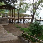
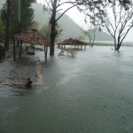
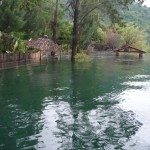
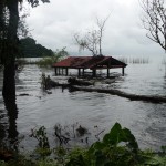
This is a photo of how the boat docks looked just after I first arrived at the lake. This photo was taken on May 18, 2010. Note the dock in the forground with a nice covered waiting area (roof) on the left. This dock is not even finished yet, and is much too high above the water to use at this time. The dock we used when I first arrived is a lower one, behind this foreground dock — barely visible in the background.
I include this photo only as a reference. Pay particular attention to the roof and the foreground landscaping.
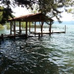
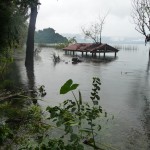
This photo was taken on Sept 13, 2010, still in the middle of rainy season. Again, this photo is just for reference. Note that the waiting area is already covered with water, and that the foreground is now completely under water.
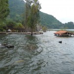
This is the boat dock on July 2, 2011. The other dock with the roof and waiting area is no longer accessible. It is about 100 feet off to the left … Again, this photo is for reference.
This photo was taken on Oct 12, 2011. I am standing on the smaller dock from the previouis picture, looking toward the original dock with the roof. The roof is now barely above water at the upper right in the background.
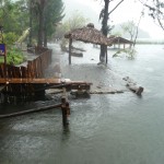
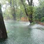
Note, this photo was taken in the middle of an intense rainstorm that caused considerable damage throughout Guatemala. It was only a tropical depression, not even named, but caused the lake levels to rise considerably, and caused mudslides and road closures all around the area.
This photo was taken from the same place, with a zoom lens, showing the old boat dock room in the upper center.
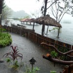
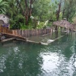
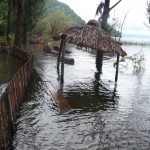
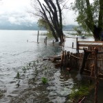
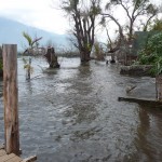
This is from a similar angle, but taken from the land. The boat dock roof can be seen in the left-center background. The foreground is property from a local hotel. The fence is now engulfed by the lake, and a few of the hotel’s rooms are almost flooded.
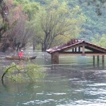
A close up of the old boat dock roof, taken the next day on Oct 13, 2011. I love how the Mayan man is floating around in his canoe. I am not sure if he is fishing or searching for the tall grass that the people here use to make straw mats.
Yet another view of the same area, taken on Oct 13, 2011. All of this foreground used to be landscaped beautifully, with grass, flowers, trees, etc… Most of what you see was part of the small hotel by the lake.
Another view of the same general area, taken three days later on Oct 16, 2011. As you can see, the lake has risen another foot or two.
And another one, taken another three days after that, on Oct 19, 2011. The waters just keep rising. That roof is getting very close to the water.
This one was taken just a few days ago, showing the same general area. In the interim, we have gone through a dry season where the water dropped several feet, and now we have gone through the first part of a new rainy season, where the waters have climbed back to where they were, and now even higher. That roof is very close to the water, and we still have a couple of months worth of rainy season to go.
This next group of photos focuses on the little hotel by the boat dock. This first one was taken on Oct 13, 2011, and shows what the hotel fence (and first building on left) looked like as the water encroached on their property.
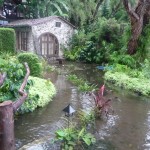
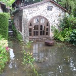
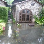
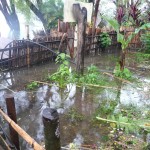
This is a close up photo, taken on the same day, looking over the fence into the hotel property. That building with the large window used to be a very nice hotel room. The area where I am standing used to be a nice garden.
This hotel is the “Posada Schumann”. I stayed here (further up) a couple of times during my first Summer in San Marcos.
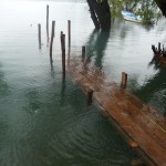
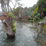
This is taken on the lake side of the Hotel’s fence — the fence that is now under water. If you look closely, you can see several large boards floating between the fence and what used to be a little grass-roofed picnic area for the Hotel.
Just a couple of days ago (photo taken Oct 13, 2011) these boards were part of a raised pathway that allowed people to walk to homes a little further down the shoreline. Now, it is impossible to walk here …
The hotel room three days later (Oct 16, 2011). The water just keeps rising…
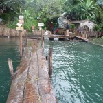
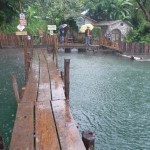
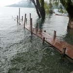
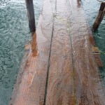
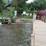
This is the boat dock on Oct 16, 2011. As you can see, water is splashing over the dock. When the winds are up, the dock is unusable. Right now, you can walk on it with bare feet (or with shoes if you don’t mind getting wet).
This is the same dock featured in the third photo from the top — that photo was taken on July 2, 2011, just three months earlier.
And the same hotel room as seen on Oct 19, 2011. It is almost flooding through the windows.
A few days after that last photo was taken on Oct 19, 2011, the windows were removed from the hotel room, and the hole was filled up with rocks and concrete.
This photo shows how the area looks now, on Aug 2, 2012. The concrete/rock wall on the right is the old hotel room, now completely flooded, with the windows removed and filled in. The hotel has turned that room into a base for an upstairs deck.
The room on the left, still having the window in place, is now beginning to get flooded as well.
This photo is on the dock, taken Oct 12, 2011, four days before the water was rippling over the top of it in (as was shown in a previous photo, three above this one).
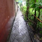
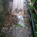
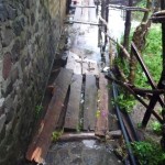
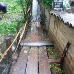
This shows the narrow path that leads from down down to the lake and the boat dock. During a good rainstorm, this path becomes a river.
The hotel from previous photos is on the left. The lake is right at the bottom of this path, perhaps 100 feet away.
This is a view from the boat dock, looking to the right (west). This photo was taken in the middle of the early rains from the tropical depression. This whole area used to be beautifully landscapped hotel and private property. The woman who owns and runs the pyramids has a little home right behind the tall bamboo fence in the middle. Her home is in danger of flooding.
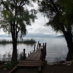
Another view of the dock on Oct 13, 2011 … just before the water covered it. This one shows a beautiful view of the San Pedro volcano off in the distance.
Another view from the dock on Oct 13, 2011. The San Pedro volcano rises to the right. It is difficult to see on this thumbnail image. The volcanoes Toliman and Atitlan are hidden in the clouds straight ahead.
The town of Santiago lies on the far side of the lake, between these volcanoes. You can barely see the town if you look closely below a nestling of little fluffy clouds .
The yoga retreat center where I often go to assist Keith with chocolate ceremonies, is up in a bay to the right, behind the San Pedro volcano — not in view from this angle.
Standing on the dock (Oct 13, 2011) looking back at the Posada Schuman. The fence is the same one that I showed in earlier photos, and the room on the right is the one that later has the window removed and a patio on top.
With the lake levels continuously rising, access to the dock was difficult. They had to build temporary ramps to cover the path that leads down to the dock so that you could keep your feet dry when accessing the dock.
As you can see from this photo, taken Oct 16, 2011, they were having a hard time keeping up with the water…
This is the dock on Oct 16, 2011. As you can see the end part is totally under water … and if you look closely, you can see that there is a dock on top of the dock. When the first one went under water, they placed boards on top of boards, trying to keep up …
Another view of the dock on the same day. It is hard to see because it is so flush with water level. The beautiful San Pedro volcano towers behind in the clouds.
By Oct 16, 2011, the hotel had built a new temporary path by their fence, giving local residents access to the homes further up the shoreline.
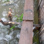
As you can see, it was a very makeshift path, using old tree trunks and tree branches to support flimsy wooden planks.
Another close up view of the dock on Oct 16, 2012.
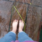
Me and my bare feet, standing on the dock. My red toenails lasted from when I left Utah until sometime in December. Hmmm, maybe it is time to paint them again …
More makeshift attempts to provide access to the dock when walking down the narrow path that leads from town.
This was taken Oct 16, 2011 … and, as you can see, there was no way to get from here to there without getting wet.
This is another piece of property, right above the dock. I definitely would not want to build here now…
This is the boat dock three days later, on Oct 19, 2011. It is now completely underwater. I did not take any boats this week, so I do not know how people got on and off the boats. I can only assume that they got quite wet …
A view from the dock area, looking back up the path that leads into town. This is the reverse view of an earlier photo … taken Oct 19, 2011.
This is a present-day view (taken Aug 2, 2011), looking right (west) from the new boat dock. The San Pedro volcano is in the background on the left. The home of the woman who runs the pyramids is now clearly visible, just to the right of the huge trees in the center. The water is getting ever closer to her home.
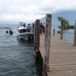
This is a present-day view (Aug 2, 2011) of the new boat dock. This new dock was built this last winter, during the dry season. When it was built, it was quite a bit higher above water level than it is now. If the rains continue, it will likely be underwater by October. I guess we will just have to wait and see.
The San Pedro volcano towers in the clouds off to the right. If you look closely, someone is loading a bicycle onto the boat at the end of the dock.
These boats run during the day, every 20 to 30 minutes, between San Pedro which is off to the right at the right side of the volcano, and between Panajachel which is at the other end of the lake off to the left. On a normal day, it is about a 45 minute boat ride to Panajachel … but the ride can be done in 20 minutes if the boat does not need to stop very much. These boats are like buses. They stop at any dock where someone needs to get on or off…
Present day (Aug 2, 2011) view from the new dock, looking back toward town. The Posada Schumann (hotel) is on the right (and on the left too). The man at the far end of the dock is about to walk up the narrow pathway that leads toward town…
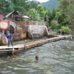
Another view from the new dock (Aug 2, 2011), looking to the right along the shoreline. If you look closely, you can see the owner of the Pyramid’s house (large pyramid-like green roof) and the stilts below it that are now in the water.
I love the little sign for Hotel Aaculaax nailed to the tree in the left foreground. All of this area used to be dry land. (The Hotel Aaculaax (pronounced Ahh-coo-law-sh) is one of the nicer, but pricier hotels in town)
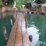
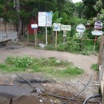
A little waiting area and sign forest at the end of the boat dock.
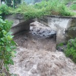
A view of the main bridge that runs through town, taken Oct 12, 2011 during the flash flood runoff from the tropical depression that came through the area. This is the same bridge that was completely covered by rocks during Tropical Storm Agatha when I was here in late May, 2010.
Looking upriver from the same bridge, during the same storm. If you listen closely, you can hear rocks thumping and rolling down with the wild currents.
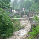
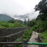
View a little further upstream of the next bridge — a very small bridge. The white PVC pipe across the middle (over the river) is someone’s water supply. That is how things are done here. You cannot tell from the photo, but it is raining quite hard right now.
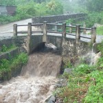
A closeup of the same bridge in the previous photo.
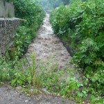
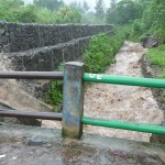
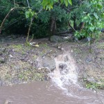
Standing on that second bridge, looking further up stream. If you look closely, you can see water splashing down on the left. If you view the full photo, you can see how the road to the left of the wall is now a shallow river too, and the runoff from that road is rushing down into the canal at the left edge of this bridge.
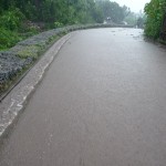
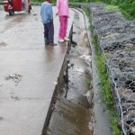
This is taken on the road by the river. There are several inches of water running down this road, turning it into a small river of its own. This runoff comes from other areas of the upper valley that do not direclty feed into the river further up.
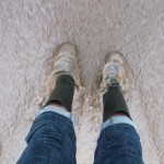
Me, standing in the middle of the river on the road. There are only a couple of inches of water flowing right here.
I giggle everytime I wear these rubber boots, because women here do NOT wear boots. The young Mayan girls frequently laugh and point at me when they see me wearing these boots during a heavy rainstorm.
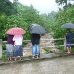
A group of local people standing on the third and final bridge, watching the flash flooding river as it rumbles below them.
This is the entrance to one of many such little trails that lead to homes nestled all over the river valley above this third bridge.
Much of the water forming the little river on the road is coming from trails like this — trails that have become little rivers of their own.
This is a view from that same upper (third) bridge, taken a while later as the rains temporarily stopped and the clouds slightly lifted. You can get a glimpse of the beautiful mountains above San Marcos.
That little river in the street caused its own minor damage. This is the same street that was covered by a few inches of water. The runoff got down in some cracks and undermined the base of this large gutter, washing away the ground soil, causing the entire gutter to collapse.
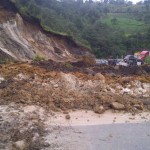
This is a photo from a local online newspaper — showing the aftermath of this large storm. This is a mudslide that covered the main Inter-America highway, somewhere between Panajachel and Guatemala City.
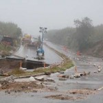
This is another photo from that same online newspaper, on the same Inter-America highway, showing one place where two lanes of traffic (where a bridge used to be) simply caved in and disappeared. I would not have wanted to be driving here at the time.
Trip To The Mountains
On October 24, 2011, I took a trip with my dear friend Isaias, and three other young men who were on Keith’s porch. Isaias is training to be a Mayan Sacerdote (Priest) — but in English, we might refer to that as a Mayan Shaman.
At this point, he is just a few weeks into his training. Several of us are going to the home of his beautiful teacher to participate in a fire ceremony with him.
After riding in chicken buses, we soon find ourselves on little open-air pickup transports for the final leg of our journey (locations kept secret for privacy).
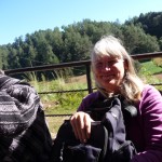
Me, sitting in the back of the pickup truck, with some pine trees in the background.
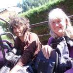
Me and one of the young men who went with us.
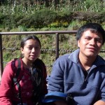
My friend Isaias and his beautiful young wife.
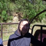
Another of the young men who went with us, sitting in the back of the pickup.
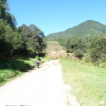
A typical view of the road as we make our way up the canyon to a remote village.
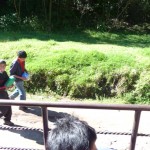
Two young boys walking along the road.
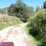
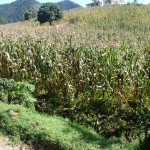
Passing through some “Maize” fields. “Maize” is the name for the tall variety of corn that the people of Mexico and Central America grind for making tortillas and tamales etc… This corn is a major part of their diet.
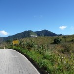
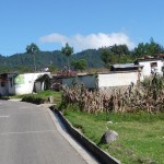
Nearing the town, where the road is a little better…
More maize fields.
Arriving in the remote mountain village. I did not take any photos during the ceremony, or afterward.
In fact, I did not take any more photos until Easter, 2012 …
Easter In San Marcos
The Catholic people of Guatemala are quite diligent and devoted in the way they celebrate Easter. In Antigua are world-famous Easter parades that take place througout the week leading up to Easter, but such parades take place all over Guatemala, even in the tiniest of villages. San Marcos La Laguna is no different.
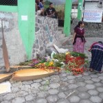
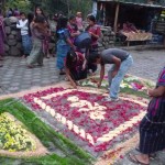
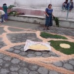
In this photo, a couple of woman are preparing supplies for making what the local people call “alfombras” — which literally translated means “carpets”. They use plant materials (sawdust, flowers, fruits, etc…) to create beautiful designs on the street. The parade then passes over these alfombras.
In the background on the left is the corner of the basketball court at the center of town. My apartment is less than 100 feet below this location, just down the path that leads toward the lake.
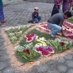
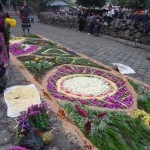
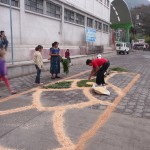
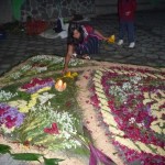
One of the alfombras being constructed, right at the center of town by the basketball court.
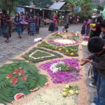
Another view of an alfombra being created. The little tienda (store) at the upper right is right on the corner of the path that leads down to my apartment and the lake. I buy water in this little store once (and sometimes twice) per week — costing about $2.00 US for a five gallon bottle of purified water.
Another view from a different angle. The local Catholic church is just ahead and to the right, below the rock wall. The wooden fence at the top left is the side of another store where I sometimes by cheese, or even a Snickers candybar.
If you follow this road as it bends this way and that, you will end up at Keith’s home in about ten minutes (standard walking speed).
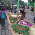
More progress on the same alfombra. To put the view in perspective, the large green beams on the right are the corner of the basketball court. The little store (upper left center) is where I buy water, and the path that leads to my apartment begins just before the blue sign in the trees above and beyond the alfombra (right where the woman with the large bundle on her head is beginning to walk).
Another slightly different view from the same perspective.
The Catholic church in early evening as the faithful prepare to worship. Notice the elaborate decorations hanging on the wooden beams in front of the main entrance (under the huge tree, just right of the church).
Another alfombra being created just up the street, in front of a small store where I occasionally buy ice cream.
The same new alfrombra from the opposite view. The basketball court is at the top right, and the little store where I buy water is at the far right edge of the top right corner.
I admire how the local people get things done with the money they have.
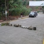
This row of large rocks on the road is blocking traffic on the west end of town (not that there is a lot of traffic). Behind me is the center of town where the alfombras are being built, and where the parade will begin. Just to the right at the center, where the yellow curbs have a gap, is a small (and I mean small and narrow) road that bypasses the center of town). Just up this small road to the right is the restaurant where I always go for my favorite burger and fries.
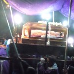
Looking inside the Catholic church as the parade begins. The parade actually starts inside the church. In the Friday night parade (in honor of Christ being taken down from the cross) the men carry a casket in their shoulders with a lifesize model of their dead Savior inside the glass-sided casket.
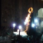
I believe that the statue with the gold hair-dress-like costume at the back, top-right, is Mother Mary, who is caried by women.
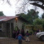
Several young men preparing to march at the beginning of this Friday-night parade, two days before the actual Easter.
Men, carrying the casket of Christ on their shoulders. All of the smoke is from incense burners
Another view of the casket of Christ … this one with less light and glare.
And another closeup of the same.
The women carrying Mother Mary on their shoulders.
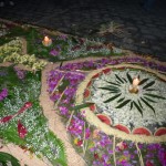
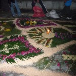
The first alfombra at night, with candles. Up until this point, many people had continued to add finishing touches — more beautiful flowers, watermellon slices, etc…
The same alfombra, just before the parade walks over it.
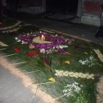
Night view of the second large alfombra, just up the street. People are scurrying to finish it before the parade arrives.
Another view of the second alfombra at night.
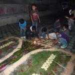
A group of young Mayan boys rushing to add finishing touches before the parade arrives.
A Favorite Photo
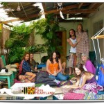
And last, but not least, for this photo posting … I wanted to add one of my favorite photos ever of Keith’s magical porch.
This was taken after a private ceremony that Keith and I facitated with a tour group called “Running Buffalo Journeys”.
I love the colors and lighting on the porch in this photo. Keith is the tall man, standing on the right, having his right arm wrapped around Aaron who is the leader of the tour group.
Angela is seated on the left, with the blue shawl. This was her first ever ceremony with Keith. Of course, you can see me seated on the right in the purple sweater.
Keith is standing in front of the kitchen door to his small house. The bathroom door is straight ahead at the end of the porch. The porch is half concrete (on the right) and half gravel covered by straw mats and throw-rugs (on the left).
And of course you can see Keith’s healer cat, Squeaky, resting on a green chair at the left.
You can see that the porch is quite small. it is hard to believe that one day in March, 2011 we had 35 people squeezed in here. Keith has plans this fall (2012) where he wants to extend this porch about ten feet further out to the left, and it will be about fifteen feet in the other direction. Only time will tell …
A Photo Wrap Up
This is the end of photos for today. In the very near future I will be posting 340 photos taken during my friend Pyper’s visit in late April. Between Pyper and myself, we took photos from all over Guatemala, showing a variety of scenery, roads, views of San Marcos, Panajachel, San Juan, San Pedro, and the market at Xela. I will probably need at least three photo posts to get all that in. Then, after that I will be posting another set of photos showing Isaias’s graduation. I can’t wait to get to it all.
Copyright © 2012 by Brenda Larsen, All Rights Reserved
