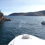
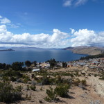
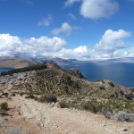
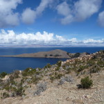
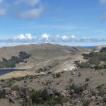
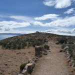
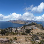
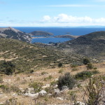
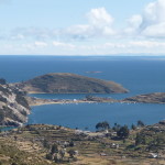
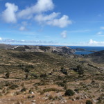
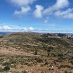
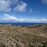
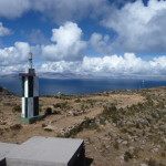
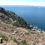
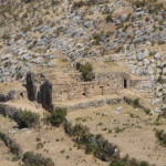
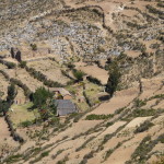
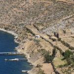
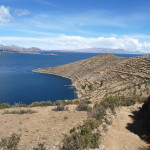
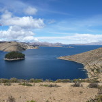
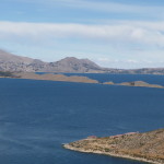
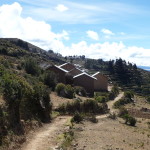
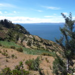
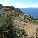
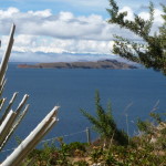
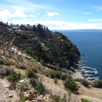
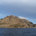
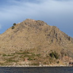
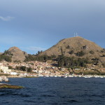
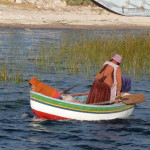
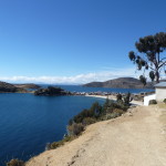
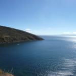
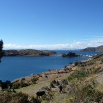
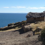
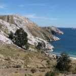
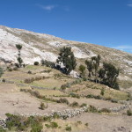
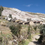
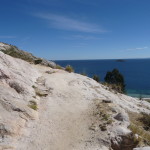
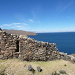
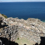
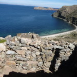
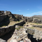
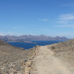
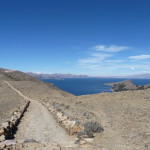
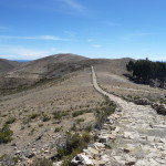
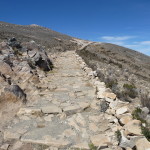
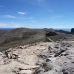
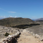
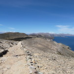
This post contains 283 photos, including detailed narratives. It covers June 10-11, 2014, documenting two day-trips to “Island of the Sun” (Isla Del Sol), on the Bolivian side of Lake Titicaca. Each morning, I take a tour boat to the Island, and each evening I return to Copacabana, Bolivia.
As usual, the photos in this post are thumbnail images. Please click on any photo to enlarge it. The thumbnails leave much to be desired as far as colors and resolution – plus the thumbnails clip all of the edges. I use thumbnails for the post itself, because it gives people an opportunity to get a summary glimpse without downloading huge amounts of data for the high-res photos.
CLICK ON ANY PHOTO TO ENLARGE TO HIGH RESOLUTION
Visiting The South End
On Tuesday, June 10, 2014, I take a tour from Copacabana, Bolivia to the southern end of the Island of the Sun. I arrive at the marina area of Copacabana at around 8:00 a.m., giving myself plenty of time to find the correct boat. I didn’t buy my ticket directly from the tour company. Instead, I had bought it from a small travel agency. Finding the correct boat is easy, and at just after 8:30 a.m. we pull away from the dock.
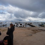
Standing on the beach at 8:18, waiting for the boat to arrive.
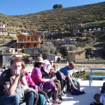
Some of my tour group waiting …
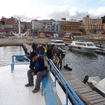
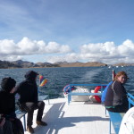
I am one of the early ones on the boat, and even though it is early morning, and still quite cold, I decide to sit on top of the boat. I am at the front, on the left side of the boat, bundled up in many layers …
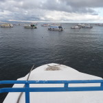
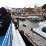
Still at the dock, looking forward from my left-front seat …
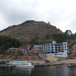
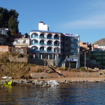
Also still at the dock. In this photo, I am looking back at my hotel, and the “Calvary Hill” behind it.
Getting ready to push off the dock.
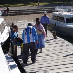
But then, a group of local people show up, looking for a ride to Island of the Sun … The captain lets them on.
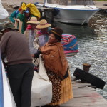
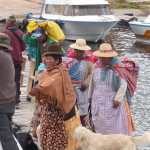
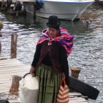
Candid photos of the local women. I love the way they dress.
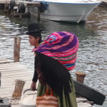
Another beautiful woman boarding the boat at the last minute.
The stuff she is carrying on her back is huge.
Finally, we are on our way at 8:41 a.m. …
In this photo, we are moving away from my hotel.
Moving around the point of Calvary Hill.
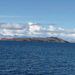
With a strong zoom, looking at Island of the Sun in the far distance (left center).
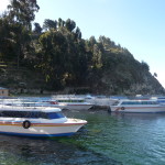
Another tour boat from a different company, just in front of us. Many boats leave Copacabana in the same general time frame.
Looking back at Calvary Hill. Most of us on top of the boat are bundled up tightly.
You can see Copacabana in the right center.
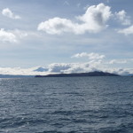
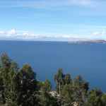
Looking off into the distance, toward the north. This lake is so huge that you cannot see the other side in many places.
The mountains that you can barely see are on the Peru side of the lake.
That is the Island of the Sun in the distance, just left of center.
Looking back at Copacabana. It is hard to tell distances in many of these photos, because I am constantly changing the zoom to frame images differently.
The sun is behind the clouds, creating an intense chill. I am freezing right now, but determined to stay on top.
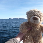
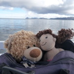
With the sun back out again, Bobby-bear wanted to come out for a look. Brenda-doll decided she was still too cold (She forgot her coat and doesn’t have any fur).
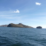
Using the zoom to bring the Island of the Sun in a lot closer.
We will be passing through a narrow gap in this peninsula.
Up close, the gap looks a lot wider, but the bottom is shallow on either side, so we keep to the very center.
Another view of the Island of the Sun in the distance.
Getting closer. That little island on the right sits between the mainland and the island. There are large power lines stretching across to the Island of the Sun, and there is an intermediate tower on this tiny little island to support bring electricity to the big island.
Looking toward the southern tip of the Island of the Sun.
Looking back as three tour boats follow in the distance. Copacabana is no longer visible.
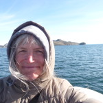
A self-photo, showing just how bundled up I am. I am wearing two shirts, a sweater, a sweatshirt, and a coat, the the hoods of the latter two both up on my head.
We are still quite far away. Earlier photos were zoomed in.
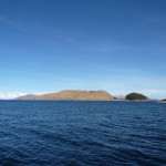
This is the “Island of the Moon”. I originally paid for a tour that was supposed to stop there on the way to the Island of the Sun. But I bought it from a small travel agency. When I got on the boat, the captain told me that we were not going to the Island of the Moon, because I was the only want that wanted to go there. After expressing a strong desire to go there, he told me “no” and I lovingly accepted “what is”.
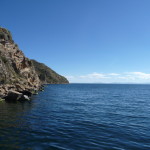
As we get closer and begin to cruise up the eastern side of the Island of the Sun, I take a few photos of the shoreline.
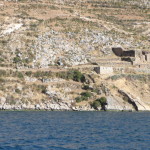
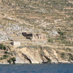
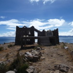
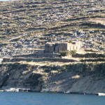
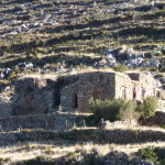
I notice this old “temple-like” structure. I later learn that it is the “Temple of the Sun”.
Another similar photo with slightly different framing.
Getting closer to a more populated area.
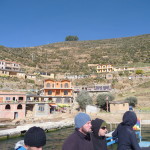
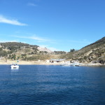
Pulling into the little town of Yumani, which is the main town on the southern end of the Island of the Sun.
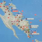
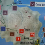
Once on the shore, I take this photo of a map of the island. If you click and expand this photo, you can see a large yellow dot with a yellow circle around it, located in the bottom right section of the map. It says “You are Here” by the yellow circle.
Today, I will spend the entire day in that bottom right area. Tomorrow, I will explore the rest of the island.
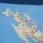
The same map, but showing the upper portion of the island. Tomorrow I will be visiting the northern tip, and then I will walk the entire length of the island, from north to south.
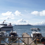
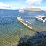
Looking back at the dock. That larger boat on the left runs from Puno, and I believe it goes further into Bolivia (but not Copacabana). I really don’t know much about it.
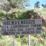
A sign near the boat dock. It reads: “Welcome to the community of Yumani, Island of the Sun, Southern Part. The right to enter costs 5 Bolivianos.”
I pay my “5 Bolivianos” as I leave the boat dock. Every little village on this island charges a tourist tax for the right to enter their boundaries.
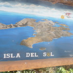
Another sign near the beach. This one purports to show what the island looks like … BUT the proportions are wildly exaggerated. This image makes the southern end look huge, and shows the northern end as tiny. This is just not the case.
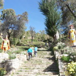
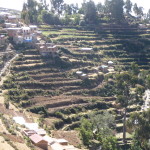
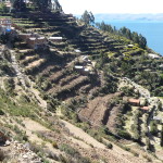
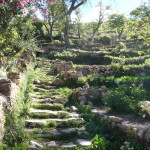
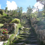
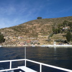
The entrance to the “Escalinatas Yumani” – an old Inca stairway that leads from the beach up the steep hill. These steps are very steep and beautifully landscaped.
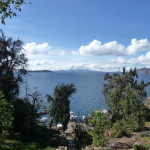
From part way of the hill, looking back toward the Island of the Moon (left center).
Looking more to the south, back toward the mainland.
This similar photo gives better perspective. You can barely see that tiny round island (right of center), and that big piece of land in the center is the tip of the mainland.
A zoomed in image of the “Island of the Moon”.
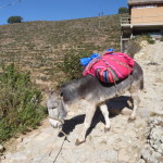
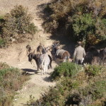
There are many donkeys all over this island. They are used to carry things up and down the steep trails.
I am still hiking up, up, and up.
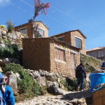
The colors and clarity on this photo give a beautiful look at adobe construction.
Looking more toward the west. That tip of land across the bay is also part of the Island of the Sun.
Looking toward the southwest. That is Peru over there.
Looking more to the west. That little peninsula is part of Island of the Sun.
From this spot, I turn back to the north and resume my climbing. I am not yet to the top.
Just more typical sites. There are lots of donkeys here.
I am headed to the “mirador” or “lookout point”. I am going to the top of the hill straight ahead, but the highest point is far off to the right.
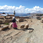
As I keep climbing, I pass this woman with her three sheep.
From still higher, looking back to the southeast. That is the “Island of the Moon” out on the left, and the land on the upper right is back on the mainland.
From where I am standing, looking toward the southern tip of the Island of the Sun. The buildings visible are the uppermost part of Yumani. The distant land is on the mainland.
Again, looking to the east.
Looking more northeast from the same spot.
Continuing to climb. I am now on top the mountain, walking east toward the highest point.
Glancing south toward the mainland, the top of the community of Yumani in the foreground.
Looking to the northeast, toward another small village down by the water below.
The same view, but with a zoom.
Approaching the “mirador” or lookout point. This building sits at the highest place. I am a little over 13,300 feet in altitude here.
These next photos are all taken from the top of the building. This is looking at the mainland to the south.
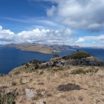
Looking a little southeast, with the Island of the Moon in the left center.
Looking to the northeast.
Looking a little more to the north.
And even more to the north.
This one is facing slightly northwest.
Looking to the west, slightly south.
Standing on the top of the building, with the wall visible, looking south and slightly east.
More to the east.
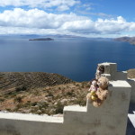
Bobby-bear and Brenda-doll enjoying the sun and gorgeous views – views in every direction. If it is not the highest point on the island, it is at least very close to the highest point.
Another one with my companions, looking toward the south.
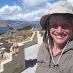
And one with me all bundled up, with Bobby and Brenda in the background. There is a breeze up here, making it quite cool.
Bobby and Brenda enjoying the view of the Island of the Moon.
As I post these, I realize that there are so many photos of the same things. but I just can’t get myself to delete any of these photos.
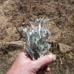
I spend some time gathering what looks like White Sage … at least some type of sage-like plant.
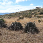
Evidence of farming on top of this hill at 13,300 feet. It seems to be a common farming technique to make piles like this to dry the crops. These plants have some type of bean pod. I wonder if they might be Lima Beans.
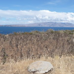
Looking to the southwest.
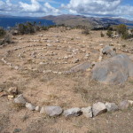
Someone built a rock spiral up on top. I walk around it a few times.
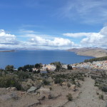
Looking down at the community of Yumani.
I sit up on the mountain, meditating with a full dose of chocolate, staying up the for a very long time. I started walking back to the village in the early afternoon, sometime around 1:30 p.m..
And I pass by this donkey.
And this one too.
A man taking his donkey for a walk.
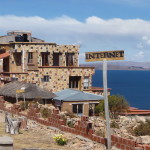
This “internet” sign seems slightly out of place in this setting.
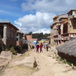
Walking back down through the upper parts of “Yumani”.
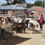
More donkeys, these carrying heavy loads.
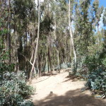
There seem to be lots of “Eucalyptus” trees in this part of the world. They seem to grow well at this altitude. They have many in Pisac too …
Looking down below at the lower parts of Yumani, and at the boat docks.
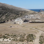
Rather than walking all the way down quite yet, I walk south, along the ridge. Soon, I can see the Temple of the Sun, far below (This is zoomed all the way in). The trail is steep leading down to this ruin, and I decide I don’t want to go down there, because I will then have to climb back up. I walk part of the way before turning around.
Another view looking down at the “Temple of the Sun”. This is also zoomed, but not quite as much as the previous photo.
And another similar view, this one including the boat dock below the temple.
The same view, without the zoom. The Temple of the Sun is way down there, and there is not enough time to make the hike.
A similar view, panned more to the left, with the mainland in the background.
Looking back toward that long peninsula where the boat passed through a gap on our way here. If you look closely, Copacabana is in the far distance, just below that mountain in the middle.
As I walk back toward Yumani, I pass by this cluster of adobe homes.
Continuing back toward Yumani.
I am playing around with “foregrounds” in these last few photos.
And this one too, with the Island of the Moon in the background.
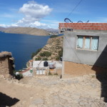
Looking down at Yumani from this side.
Some of the steep hillside leading down to the water.
The lighting on this one is much better. It is quite the climb to get to the upper homes. The donkeys must be a welcome asset for those who own them, especially since there are no roads or vehicles on this island.
As I walk along this trail, this group of people is preparing to cook a pig.
Back to the main trail, above the main “Escalinatas Yumani” or Inca Steps that lead back down to the water.
Walking down the trail.
A woman working in her yard (sorry it is so blurry – focus is difficult when using a strong zoom).
Almost back to the bottom.
You cannot tell it from the photo, but this is really steep.
Looking back up at where I have been.
Another photo looking back up. This area has beautiful landscaping.
Once I reach the bottom, I walk north along the shoreline, looking for a place away from the boat docks where I can fill a one-liter bottle with water from the lake.
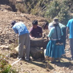
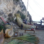
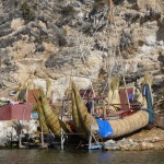
I come across these men building a traditional “reed boat”. I want to go further, but when I ask for permission, they tell me “no”.
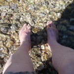
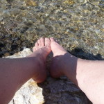
I ended up stopping here instead. I even dip my toes in the cold water for a while.
My bare feet in the waters of Lake Titicaca.
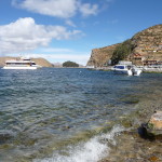
Looking back over at the boat docks.
I keep my toes in the water for about ten minutes. The water is not freezing, but it is very cool.
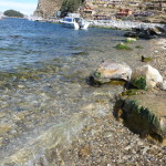
The water is very clean and clear here.
Letting my wet feet dry in the sun.
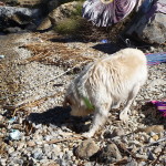
This dog stops by for a visit.
Looking back at that earlier map, I notice that it also shows altitudes. The “mirador” where I was meditating earlier appears to be labeled as being 4055 meters, which would be 13,303 feet above sea level.
As I sit on the beach, my boat will not leave for another hour, so I do some more meditating with my friends.
Looking up the shoreline from where I am sitting (I am on the ground, using this bench as a back).
From the same spot, looking in the opposite direction.
Bobby and Brenda enjoying the sun.
It really is a beautiful day, and it is very warm right now.
Finally, I am back on the boat. As before, I sit on top.
I am looking back toward the shore as we wait to leave.
A different view looking north.
Looking down at the dock.
And back toward the Island of the Moon. I would like to have visited that island, but it will not happen today.
Looking back toward the mainland.
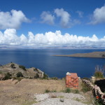
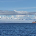
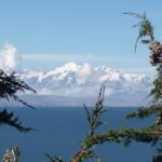
Finally, I have been trying all day. If you look closely, most of the the white above the water is not clouds. Those are extremely tall, snow-capped mountains. As I take this photo I am already at 12,507 feet. Those mountains are at least four or five thousand feet above me. I think I heard someone say they were part of the Cordillero range. I am not sure.
I am surprised when our boat approaches and stops at the Temple of the Sun. I had wanted to go see it. But for whatever reason, I don’t want to see it right now. I assume that the boat I take tomorrow will also stop here, and that I will go see it then. We stop here for about 10 minutes, and our driver almost leaves four people behind when we leave.
A closer view.
Sitting on the boat, enjoying the sun, waiting for some of the group to return.
A few people from a different boat decide to go for a dip in their underwear.
Diving in to the cooooold water.
And soon, we are back on our way.
Cruising south along the mainland. I look up and see the almost-full moon.
The same image with some zoom. The moon is beautiful.
Looking toward Copacabana. That is the Calvary Hill in the center.
Approaching Calvary Hill.
And finally returning to the beach in Copacabana. It is just before 5:30 p.m. when we arrive.
A mother and son, exploring/working near the shore.
Cruising slowly by my hotel.
Later that evening, I take a photo of the sunset as seen from my hotel room.
It has been an amazing day of exploring, hiking, and meditating. I love the energy of Lake Titicaca.
A Trip To The North End
On Wednesday, June 11, 2014, I begin with the same routine. I get up early, eat breakfast in my hotel, and walk down to the marina before 8:00 a.m. … but this time I go to the marina right in front of my hotel. I will be traveling with a different tour company today, and we are headed to the north end of the Island of the Sun.
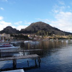
Sitting on my boat, looking across the beautiful marina at Copacabana.
Another boat leaves just before us.
Bobby and Brenda pop their head out of my daypack for a quick look around.
Today, I do not take any more photos along the mainland. This photo was taken at 9:46 a.m. as we pass by Yumani and continue toward the north end of the island. It only took us an hour and fifteen minutes to get this far. It seems like it took much longer yesterday.
A view from the lake, looking at the place where I sat and stuck my feet in the water just yesterday afternoon.
And this is a much better view of the reed boat that those men were building.
The view area where I sat and meditated yesterday is just up and over this hill.
Looking back toward the edge of Yumani as we leave it in our wake.
Passing by that little village to the north … the one I saw from the view area.
In this photo, you can barely see the building at the view area where I meditated yesterday. It is at the very top of that center mountain.
It is hard to believe that this hill is really a mountain of 13,303 feet in elevation.
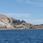
Soon, we come to another lake town. We actually stop here, just briefly, to drop off a few local passengers.
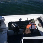
Looking down at our captain. He has two outboard motors, but I believe he is only using one right now.
Heading north along the shoreline.
At about 10:15 a.m, we approach our destination.
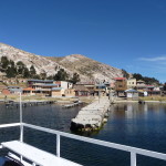
slowly moving toward the dock.
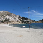
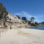
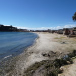
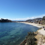
It is a beach town, with the first sand that I have seen in a long time.
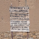
The name of the community is “Challapampa” (pronounced Chay-yuh-PAWM-puh). It is illegal to build a fire on the beach, and it is forbidden to throw trash on the beach. The last rule is “enjoy a beach without carpa” … I have no idea what “carpa” might be.
But there is not much time to play in this town. We have less than three hours here, and we have two options. We can return to the boat at 1:30 p.m. and then take a boat ride to the south end of the island … or we can hike back to the south end and meet the boat at 3:30 p.m. in Yumani.
There are some ruins at the very north tip of Island of the Sun, and it takes about an hour to get to them on foot. I definitely want to make that hike, but I am not sure after that.
In an hour I will make the decision about what to do next.
Meanwhile, I set off across the beach, headed toward that trail straight ahead. It leads to the ruins at the north end.
Looking back at the beach as I start to walk up the trail.
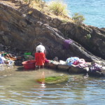
A woman washing her clothes nearby.
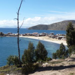
From a little further up the trail, you can see that this little part of town is actually on a very narrow peninsula, with beach on both sides.
This photo is taken from further up the trail.
And further still. This area is gorgeous.
Looking ahead and to the right (northeast).
And looking back once again.
This style of home is very common here.
More breathtaking scenery.
Continuing up the trail, headed to the north end.
A small cluster of homes ahead.
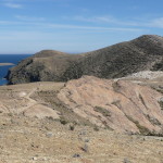
I walk over a variety of terrain. The rock here is almost white.
Looking back. The town where our boat landed is in the far distance.
Continuing onward.
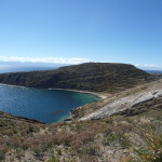
Below, I pass by another beautiful little cove. The water is so clear.
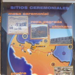
I eventually come to a sign, giving a rudimentary map of the sacred sites ahead. The sign refers to a sacred rock, a ceremonial table, and the ruins of Chinkana.
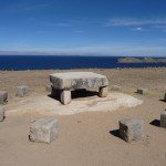
If you look closely, you can see the “ceremonial table” in the flat area, just left of center. The trail leads down the hill here.
More of the beautiful white rock.
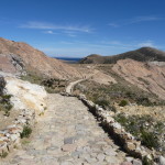
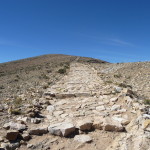
Following the trail down to the ruins.
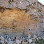
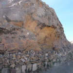
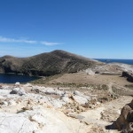
As far as I can tell, this is the “Sacred Rock”. It is a huge rock, with hundred of “carins” (little rock piles) all over the front of it. I do not know the significance of why it is sacred, and there is no information available at the time to give me any details.
Another view of the sacred rock.
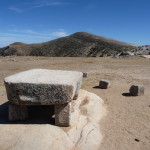
And this is the “ceremonial table”. I can only assume that this is original, and was placed here by the Inca people.
Another view of the ceremonial table.
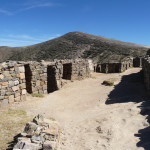
A few minutes later, I enter the ruins of Chinkana.
I explore briefly, and then meditate for a while. But I have a tight schedule if I want to make it back to find the boat.
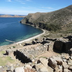
These ruins are situated in a gorgeous setting.
Bobby and Brenda enjoying the view.
They love it here.
This photo is from the far north end of the ruins, looking back to the south.
Looking down toward the water.
The beach below looks so inviting.
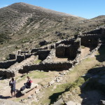
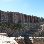
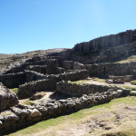
This photo gives a good idea of what these ruins are like. There are a lot of walls, with numerous doorways and passages leading in all sorts of directions.
The only thing I know about these ruins is that they were originally built by the Incas.
Another self-photo.
This one has a better smile.
This is another good view of the ruins.
Soon, I make a decision, and decide that I want to hike from the north end of the island, all the way back to the south end.
I have a three hour hike ahead of me, and it is already 11:30 a.m., so I do not spend much more time in the ruins. Instead, I walk … and walk … and walk.
This photo is on a nearby hill (up the trail), looking back at the ceremonial table (lower left center), the sacred rock (barely right of center, just left of that black wall), and the Chinkana ruins (far left center).
A similar view from much higher up. The altitude makes this climb more difficult, and it is also quite steep.
I try to get a photo of a huge bird that briefly circles overhead.
And then, I resume the steep hike, step after step.
Again turning around to look back at the north end.
Another attempt at capturing that large bird. I wish the photo were not so blurry.
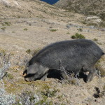
A large pig, grazing by the trail.
Soon, I stop and again look back toward the north end. I am getting higher and higher.
A very similar photo from slightly higher.
Looking ahead as I continue to climb, well above the 13000 foot mark by now.
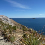
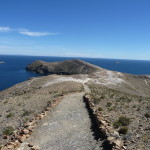
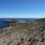
Looking across a small bay toward another piece of the north end of the island.
Looking back at the north end again.
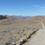
Looking forward, toward the south. This trail has lots of steep ups and downs. I am quite curious as to what that gate might be on top of the next hill.
On the way, I pass this little hut. It is a store, in the middle of nowhere.
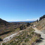
looking down to the east, I can now see the starting point of my hike. My boat is probably still anchored right down there. This is where we were dropped off. From here I hiked for an hour to the north end. And now, I have hiked for an hour back toward the south, but doing so on a different trail. The trail that I am now hiking seems to follow the upper ridges and view areas of the Island of the Sun.
Another view of Challapampa.
Looking back toward the north. If you click on the photo, you can also see more of the trail to the left and the town of Challapampa down below to the right.
Continuing on to the south, I am still deeply curious about what is on top of that tall hill.
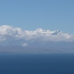
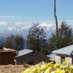
The mountains across the lake to the east are especially gorgeous today. You can see those majestic snow-capped peaks sticking up above the clouds.
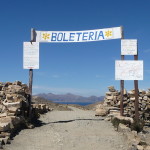
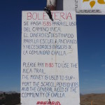
When I finally reach the top of the mountain, I am quite surprised that it is a ticket booth (boleteria). The village situated down to the east has decided to charge a fee for using this Inca trail. I fully support them for doing so, because I am sure that it takes a lot of time and money to pay workers to maintain this trail.
The sign reads (loosely translated) You need to pay 15 Bolivianos for the use of this inca trail. The money is destined for the school, the elderly, and for the basic needs of the community of Challa.
I just now realized that there is an English translation at the bottom.
I gladly pay my fifteen Bolivianos and continue hiking.
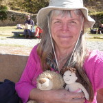
A self-photo on top of this mountain. It is very windy up here, and the cold is freezing on my neck, so I have my hood on under the hat. This really helps to keep my neck warm. I am grateful that the wind is blowing from the north, so that it is at my back and now blowing into my face.
Looking down toward the community of Challa.
And now, continuing along the trail to the south.
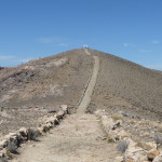
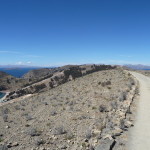
The trail just keeps going and going.
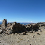
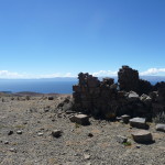
I pass what looks like the remains of an old Inca structure.
More of the same ruins.
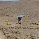
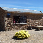
Another little store in the middle of nowhere. And they have gorgeous yellow flowers in front.
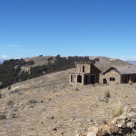
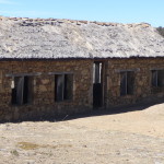
Some buildings on the other side of the trail, just opposite the store. They appear to be unoccupied and unfinished.
A front view of the larger building.
And a look at the store. It must take at least an hour to bring supplies up here from the town of Challa below. We are in the middle of nowhere.
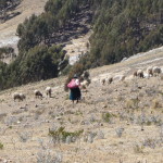
A woman herding sheep.
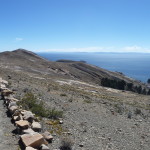
Continuing southward. You can finally see the mainland beyond the south end of the island.
And the trail just keeps going.
Looking at the mainland in the distance. Copacabana is barely visible in the right center of the photo.
More walking, down and back up.
And this “back up” part is very steep (at least it feels that way). I am starting to get tired.
More down, and then more up ahead.
Finally, a glimpse of homes in the distance. It looks as if Yumani is not much further. I also recognize that mountain. I see the “mirador” buildings on top of it. It is the place where I meditated yesterday.
But I am not as close as it looks in the previous photo. This is the same photo without the zoom. There is still further to hike.
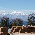
The beautiful, towering, snow-capped mountains in the distance.
And another view of those mountains (with a little zoom). The clouds are dissolving a little.
Soon, I am delighted to walk through the shade of a grove of Eucalyptus trees.
Looking down toward a village below. I think this is the place where we stopped to drop off a few passengers this morning.
A woman sitting in the middle of nowhere, just enjoying nature.
Looking ahead, off to the side of the trail.
Passing through a few more homes. We must be nearing more populated areas.
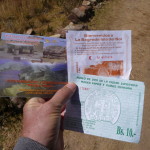
I stop to take a quick photo of all of the tickets that I have now paid for on this island. The top right one is for the community of Yumani. I purchased it yesterday, and will need it to get back into the town today. The bottom right one is for the community of Challapampa. I purchased it this morning when I left the boat. The one on the left is from the community of Challa, and says that I have paid for the use of this Inca trail.
Those buildings on the horizon look as if they may be the beginning of Yumani.
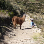
I take this photo from a distance (with a zoom). I first see this little boy blocking the trail with his llama (or maybe alpaca) and decide to take a photo of the odd sight.
When I get closer the boy is very stubborn with me, demanding that I pay him for the photo. I feel like it is extortion, and am not eager to comply with his demands.
Once I get by the young boy and his barricade, I continue walking toward the homes ahead.
And I turn around to look back as well.
More farming going on here.
Yes, I was right. That is the community of Yumani ahead. And I see another toll booth at the entrance. I am glad I saved my ticket from yesterday.
The view of the mountains is now quite gorgeous.
Another view with the mountains in the distance.
Just the majestic mountains themselves.
Beginning my decent back down through Yumani. I am now in familiar territory. It is now just after 2:00 p.m., but I still have another half hour to go before I reach the beach below.
I do not remember seeing this tiny church when I was here yesterday.
More donkeys on the trail.
A man taking his donkeys down the hill. I later realize that it must be market day in Copacabana, because there are many donkeys down below, waiting for boats and merchandise to arrive.
A look at the gorgeous mountains across the lake, with the Island of the Moon in the foreground (right center on the lake).
The mountains with fun foreground.
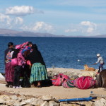
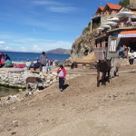
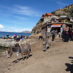
Finally, back down at the beach. People, donkeys, and bundles of stuff are everywhere.
During the next hour, this area accumulates increasing numbers of donkeys.
I am here an hour before I need to board my return boat, so I sit and watch people and donkeys … and also enjoy a yummy ice cream.
Waiting for the boats to arrive.
I sit on the dock and look at the green moss in the water below.
My boat is here, but the captain is nowhere to be seen. We still have a while to wait.
Looking back at the terraced hill.
More donkeys on the trail above, making their way down to the beach.
It is starting to get interesting down here.
Animals everywhere.
More and more. It is fun to watch.
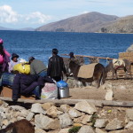
Townspeople and animals, all waiting for new market goods to arrive.
Finally, boats start to get here. They are unloading large bundles of goodies.
And starting to tie them onto the backs of the donkeys.
Getting ready to hike the mountain.
The dock over there is now crowded with people unloading the boat and loading up the donkeys.
Back To Copacabana
At shortly after 3:30 p.m., our captain shows up and we begin the journey back to Copacabana. I am surprised when the captain does not stop at the “Temple of the Sun”. When I ask him, he tells me that we are not going to stop. I can only smile. I had hoped to visit there on the way home today, but I am also fine with not stopping.
I am very tired, and eager to return to Copacabana. It has been a beautiful but exhausting day.
After about an hour and a half journey, we arrive back at the dock near my hotel at around 5:00 p.m.. I seek out a quick meal, do a little impromptu research on buses, and then purchase bus tickets for tomorrow afternoon. It is time to cross the border back into Peru. My first stop will be Puno, on the northwest side of Lake Titicaca. I do not yet know what I will do when I arrive. I may turn around and go straight to Cusco, or I might stay for a few days. I love traveling without plans.
Copyright © 2014 by Brenda Larsen, All Rights Reserved
