This post contains 96 photos, including detailed narratives. It covers June 8-9, 2014, documenting my travels back to Cusco, an overnight bus ride from Cusco to Puno (on the northwest side of Lake Titicaca, on the Peru side), and another early morning journey from Peru into Bolivia, landing me in Copacabana, Bolivia, on the southern end of Lake Titicaca.
As usual, the photos in this post are thumbnail images. Please click on any photo to enlarge it. The thumbnails leave much to be desired as far as colors and resolution – plus the thumbnails clip all of the edges. I use thumbnails for the post itself, because it gives people an opportunity to get a summary glimpse without downloading huge amounts of data for the high-res photos.
CLICK ON ANY PHOTO TO ENLARGE TO HIGH RESOLUTION
An Inti Raymi Parade
At about 11:00 a.m. on June 8, 2014, I hoist my daypack onto my back, and begin to carry my small carryon suitcase down to the street below me. I had considered taking a taxi to the collectivo stop in the center of Pisac, but instead, I simply drag my suitcase over the rough asphalt, making the long hike on foot, arriving at my destination about twenty-five minutes later.
Soon, I am in a minivan, climbing the mountainside and then racing over the Andes, on my way to Cusco. Shortly after midday, when the minivan drops me off at the end of its run, I begin another twenty minute walk to the Plaza De Armas.
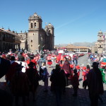
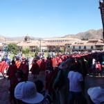
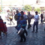
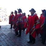
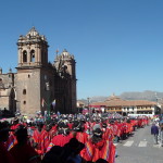
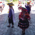
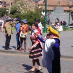
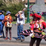
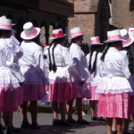
I am not expecting it, but I stumble right into a large parade. The annual Inti Raymi festival peaks in the last part of June (around the 23rd and 24th), but apparently the festival is already in full swing, with many activities happening throughout the month.
After a quick lunch, I find a curbside seat, and begin to take a few photos.
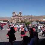
The spot where I am sitting does not have the best lighting for photos … lots of shade in the foreground, with bright sun in the background. That is the cathedral in the back left.
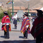
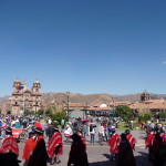
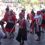
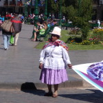
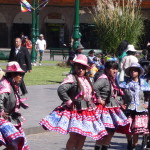
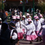
The parade consists mostly of people marching by in beautiful indigenous clothing, with each group being dressed slightly differently.
There are a few small bands mixed in here and there.
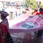
At the start of some groups, they carried huge banners like this one. I am unable to read them because I am at street level, and they hold them horizontally, in a way that the words and letters are not all visible.
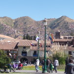
After the parade finishes, I sit in the same spot for a while, and then move around to take a few more photos. This one is taken in the Plaza De Armas, looking toward the mountains on the west.
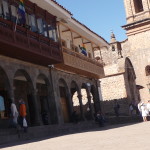
This one is on the northeast side of the plaza. There is a KFC chicken place in that building (very low key facade). Sometimes, when I am craving chicken, I love to eat here.
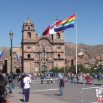
As the parade dissipates, they move these fence barriers back in front of the cathedral, saving them for another day.
I sit on the steps in front of the KFC for most of the afternoon. First, a young man comes by selling his artwork. As is common here, there are many artists that paint beautiful, indigenous and cultural paintings on 11 by 17 paper, and then sell them for only one sol each (about 40 cents in US). I am not interested in buying any paintings right now, and I tell the young man I don’t want to waste his time, but he sits and chats anyway. He is quite interested in shamanism and mystical things, and tries to become my teacher. It is a very weird conversation, and I feel quite relieved when he finally tires of me and moves on.
Then, I meet a young woman who is sitting a few feet away. She just ended a difficult conversation with other street vendors. We start to talk and have a long and fascinating conversation, all afternoon. She is from Germany but looks Latino, and has a Spanish name. I learn that she has spent considerable time in Guatemala … that she was born in Guatemala. Her mother could not take care of her, so she was adopted by German parents. She did not meet her birth mother until she was nearly twenty. It is a beautiful story, and we have a fun connection. We talk until the sun is gone, when the temperatures are so freezing that she needs to leave.
I too decide that I am cold, so I soon catch a taxi down the the bus terminal for “Cruz Del Sur” (the name of the bus line). I sit in that terminal for four hours, waiting and killing time, mostly through meditation. Finally, at 10:00 p.m., I am on my bus. It is an all night bus destined for Puno, which will be a six and a half hour journey.
I do not get much sleep, and am extremely groggy when the lights come on in the bus. A glance at my watch tells me it is almost 4:30 a.m. … we are almost there.
At 4:45 a.m., I find myself standing in the Puno “Terminal Terrestre” (ground transportation terminal) … at least that is where I think I might be. Having done no research in advance, I actually have no idea where I am, or what I will do next. I see several people trying to stop passers by, advertising bus trips to Copacabana and La Paz (in Bolivia) … but I avoid them. I want to orient myself before I do anything.
Copacabana, Here I Come
I sit on an old fiberglass chair and open my tour book, trying to gather a little information that might help me. I have considered staying in Puno for a day, giving myself time to figure things out. I do not need to cross the border into Bolivia until the end of tomorrow, so there is no rush.
But after meditating and pondering for a few more minutes, I hear one of those vendors again calling out “Bus to Copacabana”. It is an indigenous woman. Her voice catches my attention and a nudge in my heart tells me to go talk to her. I learn that at 6:00 a.m. there is a bus to Copacabana, and it only costs 20 soles (about $7.50 US). I follow her to her office, which turns out to be a tiny travel agency at the other end of the bus station. Soon, I have a ticket in hand and I head upstairs for a quick (and freezing) breakfast. It is not the food that is cold. It is the temperatures. Luckily, the tiny bus station restaurant has a couple of propane heaters running at full blast.
Lake Titicaca is at an elevation of 12,507 feet (3812 meters) above sea level, and the temperature right now is close to freezing. I would guess that it is considerably below freezing.
After a short wait, I am finally on the bus. I have a reserved seat up on the second level, but when I find it, someone has already occupied the space. The woman in charge sends me back downstairs to the lower level, where there is an empty seat.
As we pull out of the bus station, one of the first things that hits me is the glare of an extremely bright sunrise. The sun is to the east, just rising over the lake. But I am on the right side of the bus and the lake is on the left. I am not in a position to take photos of the lake at this time.
Instead, I begin to document the terrain and countryside as I begin the three and a half journey (including border crossing time) to Copacabana, Bolivia, on the southern end of Lake Titicaca.
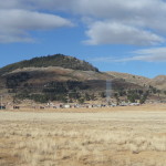
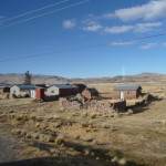
This is a very typical view. At this extremely high altitude, there is not a lot of natural vegetation.
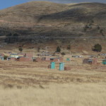
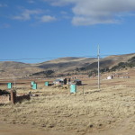
I find it quite interesting that most every home in this little village has at least one outhouse … and that they are nearly all identical, with blue-green paint. It looks like the main material used for building here is adobe.
More of those copycat outhouses.
Throughout the entire journey along the western side of the lake, little towns and villages dot the landscape.
It is winter here, so not many crops are growing. I understand that potatoes are a main staple in this part of Peru.
Some little homes along the highway. In this village, the outhouse color seems to be a burnt reddish / earthy color.
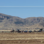
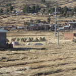
Here and there I see evidence of farming. I think those are piles of wheat stalks, stacked up in a cone shape for them to dry.
More typical scenes along the road.
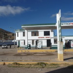
The gas stations in Peru are called a “Grifo” – which literally translated means “faucet”. This is a very typical gas station for this area.
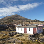
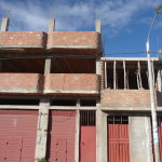
This is also a very typical construction style … using clay bricks or blocks. In this part of the world, it is quite common to leave the exteriors of such buildings completely unpainted. This particular building is still in the process of being built.
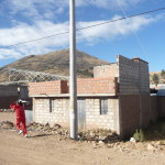
More construction, with a young girl running along … as if she is late for something.
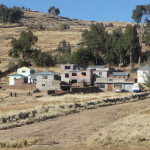
A cluster of homes …
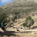
More typical scenery, with a few adobe homes here and there.
Another cluster of homes on the hill.
Finally, I am able to get a camera angle that allows me to capture a glimpse of Lake Titicaca.
This photo does not show it, but Lake Titicaca is huge, and by volume is the largest lake in all of South America. It is situated in what is called the “Altiplano” … or “High Plains”. It is a huge area surrounded by what appear to be small mountains – but most of these “small mountains” are at least 13,000 feet tall. The lake is 118 miles long (190 kilometers) and 50 miles wide (80 kilometers), with a surface area of 3232 square miles (8372 square kilometers).
The lake never freezes over, but according to Wikipedia, the average low temperature in June and July can be around 18 or 19 degrees Fahrenheit (or -7 to -7.5 Centigrade). I am here in early June, and can attest to the fact that it gets extremely cold at night.
I manage to get these lake photos because the woman at the window on the left side of the bus has fallen asleep. I am actually zooming my lens to the point that I can see through the window (at least six feet away) and get so-so photos of passing scenery.
More typical lake scenery. The lake is only visible at certain points in the journey from Puno to Copacabana.
One last lake photo before the Bolivia border.
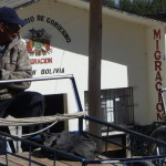
That is the Bolivia Immigration office in the background. We first had to go to two separate buildings on the Peru side, one building to get a stamp on our tourist card, and the other to then get an exit stamp on our passport. Then we walked about a hundred yards to the Bolivia side where I stand now.
US citizens need to purchase a Bolivian visa for $135. US currency is required, and it must be in excellent condition. I am prepared, but have to dig through my money to find bills that the agent will accept. He rejects several of my Twenty Dollar bills.
Finally, after getting copies of my passport, filling out the paperwork, and paying the money, I have a Bolivian visa pasted on a page in my passport. It is good for about five years, but will only allow me to be in Bolivia for 90 days each year.
I am slightly concerned because my passport is so full of stamps that I can probably make only one more border crossing (after this full trip) before I have no more pages left to stamp. I believe that the US embassy can give me additional pages that can be added to the back, but I need to take care of that at a later time.
The same Bolivia Immigration office, from further away. I had to go to that little copy shop in the corner to get passport photocopies.
A glance at the lake as seen from the border crossing.
Soon, I am back on the bus, headed toward Copacabana, which is only about fifteen minutes down the road.
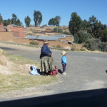
An indigenous Bolivian woman with her son, standing by the road. I can see the slight difference in her dress – not quite the same as on the Peru side.
Copacabana, Bolivia
As mentioned earlier, Copacabana is a small town on the southern end of Lake Titicaca, on the Bolivia side of the lake. About 60 percent of the lake is in Peru, with the other 40 percent in Bolivia. The famous “Island of the Sun” is on the Bolivian side, and Copacabana is the main point of access to that “Isla Del Sol”.
Not counting surrounding areas, the city itself has a population of just over six thousand inhabitants. Plus, as expected, there is a large tourist presence here, with many hotels and restaurants. I understand that the town can be quite crowded on weekends, because many people from La Paz, Bolivia come to enjoy the lake. But I am here on a Monday, and it is quite tranquil.
It takes me a while to get used to the new money and exchange rates. Here, they use the “Boliviano” where in Peru, we used “Nuevo Soles” or just Soles (Sol is singular).
I quickly find a beautiful little beachfront hotel, and the price is quite inexpensive.
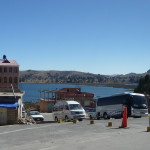
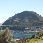
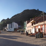
This is my first view of Copacabana. I do not know it yet, but I will be in a hotel on the beach, just below that distant mountain.
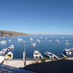
This photo is taken from the window of my hotel room. I am facing mostly southwest.
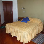
My bed. I love this room … but it can be FREEZING at night. No direct sun during the day, and no heating system, with lots of window coverage that allows the cold to penetrate.
After my first night here, I ask if they have any type of heater. They give me a small “califacion” device (a little electric heater that barely warms … and tell me to only use it for an hour or two before bed, but to not leave it on all night or they will have to charge extra.
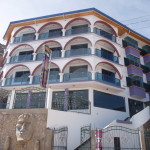
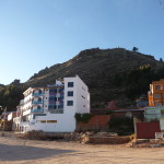
The exterior of my hotel … the “Lago Azul” or Blue Lake. I am in the room on the second floor, on the right side, in the shade (no direct sun).
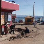
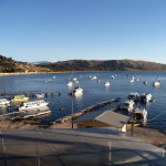
The beach/ marina near my hotel. On each of the next two mornings, I will be meeting in this area to catch a tour boat.
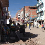
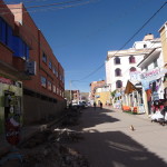
Walking the main street in town. It is undergoing a great deal of construction as new pipes are being placed on either side of the street.
From just up that street, looking back toward the lake. I don’t know it yet, but that little yellow building in the middle is the tour company that I will use tomorrow to go to “Island of the Sun”.
Further up the street … more construction.
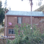
An interesting combination of simplicity with technology … an adobe home with a satellite dish.
After a few hour nap (mostly without sleeping) I get up and explore this fun little town. Soon I find myself walking up a hill, determined to make it to the top – which I am sure is over 13000 feet.
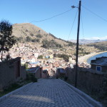
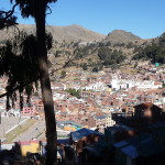
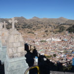
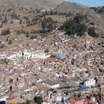
Looking down at Copacabana as I climb.
Looking down the hill as I reach a little rest/view area.
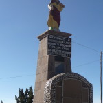
A monument at this stopping area.
The words on the monument begin with … “Welcome to the Sacred Heart of Jesus”
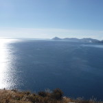
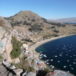
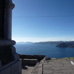
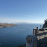
A beautiful first glimpse of Lake Titicaca to the North. I am not sure, but later confirm that the land visible in the far distance is the “Isla Del Sol” or “Island of the Sun”.
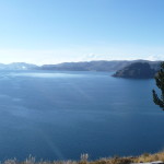
A view of the bay. It takes about two hours by tour boat to reach the Isla Del Sol, which in this photo is in the distance at the left edge of the photo.
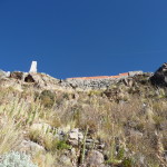
Looking up at my ultimate destination … the top of this hill. I do not know it yet, but I took a wrong turn at that view area, and have taken the difficult way up to the top. The trail here is sketchy, and is often loose dirt and gravel, without a clear path. The real trail has rock steps.
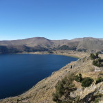
Looking down at the shoreline from my hiking vantage point.
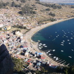
Once at the top, I can also look the other direction, down toward the marina and Copacabana itself.
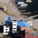
With a slight zoom, you can see my hotel with the blue roof, lower center, near the beach.
And zooming in further, my hotel is now obvious.
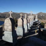
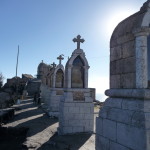
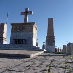
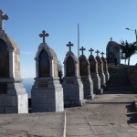
At the top of this hill are numerous monuments. It is a Sacred Hill, and I believe it is called “Calvario” … or “Calvary Hill”.
Copacabana in the background.
Looking down at Copacabana.
More of the monuments.
Looking to the north.
At the top of the hill.
A photo of “Island of the Sun”, with a full zoom …
And more monuments.
A view to the west, with some of the marina barely visible below.
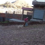
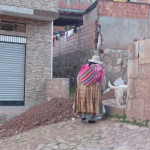
Passing a woman and her dog as I walk back down the hill.
A candid photo …
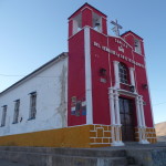
A church at the bottom of the trail.
It reads “Chapel of the Lord of the Cross of Quolquepata”
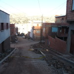
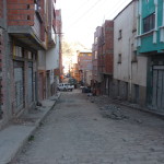
Heading down a street toward the upper part of town.
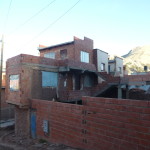
Most all homes in this area appear unfinished and unpainted. I am sure that it is a lot nicer on the inside.
Looking down another street, you can see that very few people put plaster on or paint the exterior.
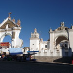
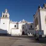
A large church near the center of town.
A closer view of the building.
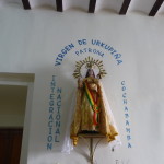
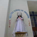
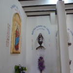
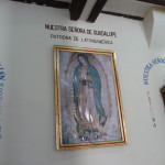
Photos are not allowed inside, but I find a room in the back with many different representations of the Virgin Mary … and take a few photos here.
This is the famous “Our Lady of Guadalupe” … she is famous all over Latin America. I first saw this image in Mexico.
I try to get a candid non-flash photo inside the church as I leave, but it turns out quite blurry.
Looking back up at the “Calvary Hill” … I was just up there taking all those previous photos.
Same photo with less zoom. As you can see, the sun is almost setting. The time here is an hour ahead from that of Peru, so this photo was taken at 5:12 pm.
Beautiful lighting from the sunset as I walk through the center of town.
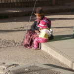
Mother and child. in traditional clothing.
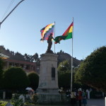
This monument is in the central plaza of Copacabana.
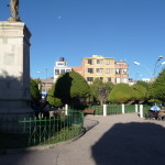
Still in the central plaza.
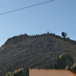
Another zoomed-in look at the hill where I was climbing. It doesn’t look like much, but I am sure it is at least 13,000 feet above sea level. Climbing at this altitude can be quite exhausting.
Back on the beach by the marina. That is my hotel at left center.
A little closer to my hotel, with the Calvary Hill behind it.
A late afternoon view from my hotel room window.
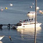
A tour boat arrives from Island of the Sun. This will be me tomorrow evening. The sun is almost down.
This is the end of this short photo post. I will spend the next two full days on the Island of the Sun (day trips). (I will post photos from those trips as a separate blog.)
Shortly after this photo is taken, the sun disappears and I literally go to bed. It has been a long day, with almost no sleep last night. I find it extremely difficult to believe that just yesterday afternoon, I was in Cusco, and that I took an all night bus to get here …
Copyright © 2014 by Brenda Larsen, All Rights Reserved
