In November, 2015, Jeanette and I spent a week traveling to-and-from Lake Titicaca. This post contains 147 photos, picking up on the final day of our time in Lake Titicaca (November 20) and then continues with all of the other fun activities that Jeanette and I did prior to her leaving Peru — including a shamanic ceremony, exploring Calca, hiking above Calca, and a visit to Cusco.
As usual, the photos in this post are thumbnail images. Please click on any photo to enlarge it. The thumbnails leave much to be desired as far as colors and resolution – plus the thumbnails clip all of the edges. I use thumbnails for the post itself, because it gives people an opportunity to get a summary glimpse without downloading huge amounts of data for the high-res photos.
CLICK ON ANY PHOTO TO ENLARGE TO HIGH RESOLUTION
A Copacabana Hike
After extending our visit to Copacabana for two days due to a labor strike in Peru, Jeanette and I decided to spend our final morning in Bolivia by hiking around the shores of Lake Titicaca, hoping to explore an area below Calvary Hill that we had seen from the boat tours.
I had tried to hike here in June, but could not find a way to do it. There is a small military/coast-guard-like station right along the shore of Lake Titicaca on the north side of Copacabana, and it appears that the guarded station blocks access to this part of the shoreline.
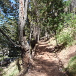
But Jeanette and I explored other possibilities and discovered a trail that goes up, over, and around that station. This is part of that beautiful trail.
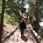
Jeanette, enjoying the trail. The military base is right below us on the right.
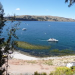
A view from the trail, with another tour boat headed out toward the Island of the Sun.
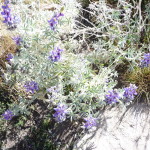
Some flowers along the trail.
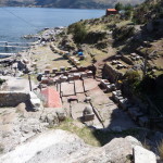
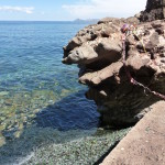
After a little more than a half-hour, we arrived at our goal — a little ceremonial area on the other side of Calvary Hill.
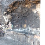
This black almost-cave had caught our eye many times when passing by on a boat. From a distance it looked like a deep cave. Up close you can see it is just blackened from all the fires that have been burned here.
Another view of the black cave-like area.
On our first day in Copacabana, when we took the short tour to the fake floating islands, the gentleman who was on top of the boat with us told us that this area is a sacred ceremonial space, and that they celebrate a “frog” here, and break lots of champagne bottles.
Jeanette and I were confused … of course, part of that confusion was the language barrier.
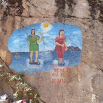
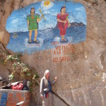
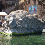
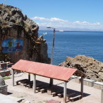
This mural was painted on a cliff right next to the water. The man is lableled as “Manko Kapac” and the woman as “Mama Ocllo”. The words below the woman read “Welcome to the mouth of the frog” (in Spanish of course).
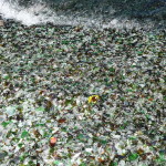
We soon found the broken champagne bottles. the entire beach under this sign was covered with a very thick layer of broken glass from those bottles.
More of the broken glass, looking down toward the water. You can see the white spray of a tiny wave in the upper left of the photo.
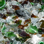
Zooming in to show the glass from the bottles. It appears that this is part of a sacred ritual.
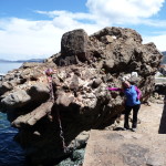
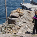
You cannot see it from this perspective, but this rock looks like a giant frog, and as far as we could tell, the bottles are broken against this rock.
Me, standing below the large painted mural, just to give an idea of size.
Jeanette, standing beside the frog rock. From a different perspective, that rock at the left end looks like an open mouth.
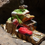
A little frog statue left in a small alcove of the bigger frog rock.
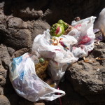
And another frog offering left on the bigger rock. There are several frog statues in these plastic bags.
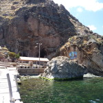
I walked out on a boat dock to take this photo of Jeanette, the frog rock, and the mural behind.
From even further out on the dock. You can almost make out the shape of a frog with that large rock.
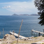
Me, standing in front of the dock, with the Island of the Sun in the distant background.
Me, in the same place, with no zoom. The Island of the Sun is in the distant left. The large peninsula extending out on the upper right side is all part of the mainland.
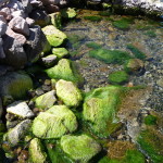
Some beautiful moss-covered rocks along the shore here.
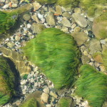
I love the long green “hairs” of this moss.
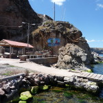
Another perspective of the ceremonial space.
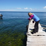
Jeanette on the dock.
there is a lot more broken glass on the ground right here too. You will have to enlarge the photo to really see Jeanette.
Looking down at the ceremonial area from above.
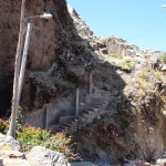
These steps are the last part of the trail that we used to get here.
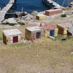
Scattered all over this area were these little storage vaults. Most of them have locks on the door. It appears that they are used to store ceremonial materials to be used by the people when they come here for little festivals. We saw large groups of people here once when we passed by on a boat.
Zoomed in view of the Island of the Sun in the background.
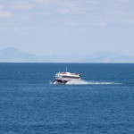
A hydrofoil boat zooming by the beach area. These are quite fast compared to the slow boats that I have ridden on in the lake.
Uros Floating Islands Near Puno
After our relaxed and delightful hike, we returned to Copacabana, checked out of our hotel, grabbed a quick lunch, and caught our 1:00 p.m. bus that would take us back to the Bolivian border and then on to Puno, Peru. This time we had no problems at the border, passing through both sides in record time.
Crossing our fingers, we had made arrangements with a local tour operator to take that 1:00 p.m. boat, with the assurance that someone would meet us in Puno, take us on a tour to the Uros Floating Islands there, and then get us back to the bus station for a 10:00 p.m. overnight bus back to Cusco.
To my surprise, everything worked like clockwork.
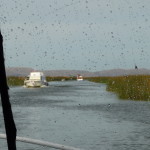
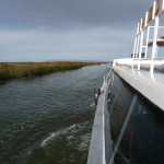
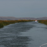
At just after 4:00 p.m., back in Puno, we were boarding a tour boat and cruising down a narrow channel, surrounded on both sides by reeds. These are the same reeds that the Uros people use to build their islands and most everything on them.
Yes, it is raining right now, but the rains subside a few minutes later, giving us beautiful weather for our late afternoon tour.
Still cruising toward the floating islands.
Looking back toward Puno … it is not dark yet … it just looks that way in this photo because of how the camera adjusts to the bright glaring sun.
You can barely see some of the floating islands in the distance. This is my first time to this large village of floating islands. In June, I visited a different one, way out across the bay on our way to Amantani Island.
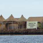
Passing by a little hut that guards the entrance to the village.
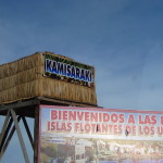
The lower sign reads “Welcome to the 87 floating islands of the Uros”
The upper sign reads “Kamisaraki” which is a Uros word for Welcome.
I was very surprised as we pulled into a large lagoon area surrounded by many of the 87 floating islands. Some are tiny and others quite large, even containing schools for the children.
Again looking back toward the almost-setting sun. One of the islands is hidden in the darkness.
Another island in the foreground.
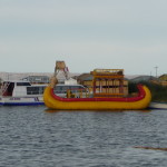
A traditional reed boat.
Part of another floating island. I am not sure if that is a lookout tower or a water tank.
And another of the islands.
These islands are everywhere. Apparently the Uros people have been living on islands like these for over 400 years.
Another view.
And another …
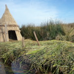
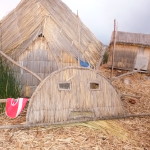
I love the way their build their homes
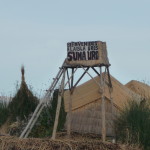
This sign reads “Welcome to the Uros Island: Suma Uro”
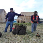
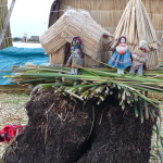
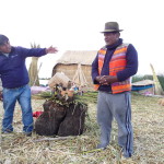
Finally, our boat stops at one of the islands, and we all sit on the soft reeds to watch a demonstration of how these islands are built. The large dark clump between the two men is a huge chunk of root material from the reeds. This is very light weight and floats. All of the islands are floating on top of layers of these roots. Then, they criss-cross the top of the island with reeds, and then they build their structures on top of that.
A closeup of the same.
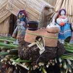
In order to cook on the islands, they make clay fireplaces in which they can build their fires, and place their pots.
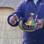
Miniature model of a traditional reed boat.
That is our tour guide in the purple shirt, and a Uros man in the orange vest. I don’t know for sure, but in June, on my previous tour to a Uros island near Amantani Island, our tour guide then told us that some of the people on these Uros islands close to Puno don’t actually stay here at night anymore.
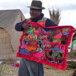
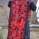
Some of the beautiful handmade textiles available for purchase. These tell the story of the Uros people.
I ended up buying one similar to this.
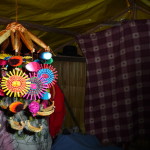
And I bought one of these amazing mobiles too. I had seen them in June and never bought one. Now that I have my own house, I wanted to hang one in it. I doubt that I will try to take it traveling with me, however.
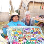
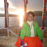
This young woman, in her twenties, is Maria. I spent some time with her and bought some handmade fabric and my mobile from her.
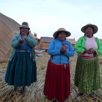
As we all got in a traditional reed boat to go to another island, these women came to give us a singing sendoff.
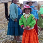
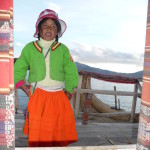
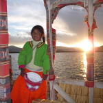
And this little girl is a real ham. She came on the boat with us and entertained us with many songs in various languages.
Heading out on our boat.
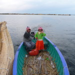
It was a large boat, and they powered it by pushing it with a small boat that had a motor.
The young girl singing to us.
Passing by another island. The late afternoon sun gives things a special glow.
I love this photo with the setting sun in the background.
And this one too…
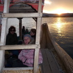
It was an interesting boat … with traditional reed pontoons, but with a wooden structure where we could all sit comfortably, both on the lower level where Jeanette is (in the pink coat) … and in an upper level up that ladder.
We got off the reed boat on a different island … a larger one that is a small community center.
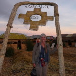
Me, on the second island. The word at the very top reads “Quechua” which is the language of the Incas. The descendents of the Incas are usually called “Quechuas”. The word in the small circle reads “Uros”, which of course is the name of people that build these islands and live on them.
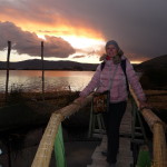
Jeanette, posing for the sunset.
And a beautiful sunset it was.
With no more sun, our tour boat picked us up at the second island and we made our way back to Puno in the fading daylight.
A night view of Puno as seen from the boat.
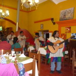
As Jeanette and I enjoyed dinner at a restaurant near the center of Puno, this band came into the restaurant to serenade us.
They were even selling CDs of their music.
After a delightful meal, Jeanette and I caught a taxi back to the bus terminal, where at 10:00 p.m. we took an overnight luxury Transzela bus back to Cusco. We arrived in Cusco at around 5:00 a.m. the next morning.
Traditional Quechua Ceremony
On November 22, 2014, Jeanette and I hired a local Shaman woman “Regina” to do a Despacho ceremony for us. I had met her in July, and when we stopped by to visit her, we started talking about ceremonies and everything just evolved from that.
We did the ceremony in my river playground. I didn’t take any photos during the ceremony itself.
That is Regina in the middle. We are posing on my patio near the kitchen area. Regina runs a little shaman shop in Calca — and is the fourth generation of women in her family to do so.
And another taken with Jeanette’s camera.
Exploring Calca
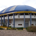
On November 23, 2014, Jeanette and I set out on a mission. I had seen a large blue dome from a distance — so many times — but had never figured out where it actually was — because once I got into the city the dome was hidden from view by the buildings. Today we found it.
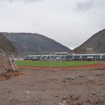
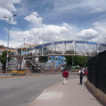
This is an outdoor soccer stadium. Several times, I had walked beside a wall that surrounds it, but had never looked to see what was inside.
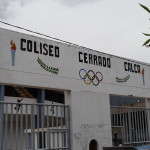
And this large building sits right beside the outdoor stadium. It is an indoor stadium for sports activities.
The words read Coliseum Closed Calca. I was confused at first but finally understood … a closed coliseum is not “closed” … it is just a coliseum that is enclosed by a roof.
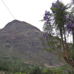
Looking up at “Apu Sawasiray” from in front of the stadium.
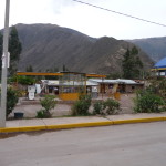
I was fascinated by the mysterious gasoline station next to the stadium.
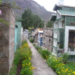
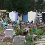
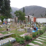
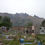
And as we walked further down the same street, we found this fascinating cemetery.
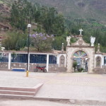
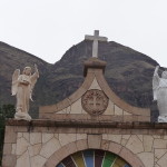
This is the entrance, with Mount Sawasiray in the background.
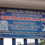
The sign (in red) reads “Gardens of Peace Cemetery – Calca”
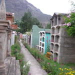
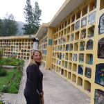
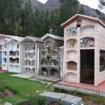
In this part of the world, people are buried above ground, in vaults …
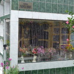
Some are very nice and decorated with tile and statues.
This one is beautifully maintained.
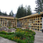
And then there are huge walls of vaults in various parts of the cemetery.
… and more.
Some of the vaults are right at ground level.
… and more.
… such a variety of burial vaults.
One last photo as we prepare to leave. I always feel deep respect for cemeteries.
Hiking Above Calca
On November 24, 2014, we went on a different hike, one taking us a few thousand feet up a lower slope of Mount Pitusiray.
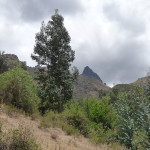
There is a road that goes part of the way up the southern end of Mount Pitusiray. Jeanette and I began to walk up that road. There are great views up here.
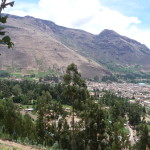
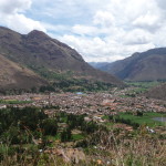
Looking down at the town of Calca below.
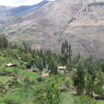
It is a dirt road, lined with farms on both sides.
This one was unexpected. Regina (the shaman woman) told us that this large home (as seen from above with full zoom) is a vacation home owned by Perez Hilton. It looks absolutely huge, and gorgeous.
Calca from even higher up.
This is looking toward the southeast. The main part of Calca is in the upper left corner of the photo. If you follow a road up the far canyons, you will end up passing through the towns of Lamay, Coya, and then Pisac. It is about twenty minutes to Pisac in a minivan. The Cusco minivans first go to Pisac and then go up over the mountains, taking about an hour from Calca.
Looking to the north. My home is down there somewhere in the distant trees. This canyon goes toward Lares, up and over the beautiful Andes mountains.
Taken with a full zoom, is a photo of a tiny house being built by Regina. She is building it all by herself. It is a very tiny piece of property. The width of the property is the width of the narrow side of the house. It extends lengthwise to encompass the large garden that goes down to the bottom right corner of the photo. Land here is not cheap.
Looking down from even higher up. You can barely see that blue dome in the right center of the photo. That is Mount Sawasiray in the far distance on the right.
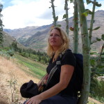
Jeanette, enjoying a short rest. It is very hard to hike at these altitudes.
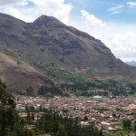
Another view of Calca.
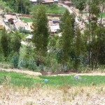
Looking down a very steep slope. This is actually a farm field. They grow crops on very steep inclines. If you look closely to see a blue dot in the field, that is a woman working in the field.
Looking up at one of the peaks of Mount Pitusiray in the far distance.
there are lots of little farms on this part of the mountain.
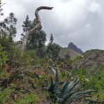
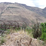
A large cactus.
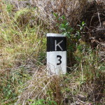
This marker says we are three kilometers up the road from town (about two miles).
A large growth of San Pedro cactus, with Calca way down in the valley.
Continuing to climb.
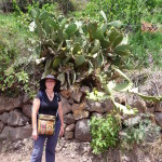
Jeanette, standing in front of another interesting cactus.
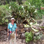
And me, in front of the same cactus.
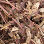
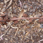
A bunch of eucalyptus tree branches with their little seed pods … drying by the side of the road.
The eucalyptus trees have very cute seed pods.
A field of beautiful blue flowers as we look up the steep slopes above.
In many places along the road, we passed sights like this … a plastic PVC pipe crossing over the road suspended on poles. It looks like there are fresh water springs up on the mountain, and some people run pipes down from the springs so they can have fresh water.
Another view of Calca from above. Calca is one of the larger towns in the Sacred Valley … yet there are very few foreigners here.
Looking up toward a distant peak of Mount Pitusiray.
Looking down toward my house. It is somewhere down there in the middle of the trees.
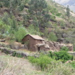
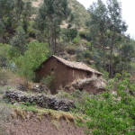
An old adobe farm house. I am not sure if it is occupied, but I would guess that it is.
After hiking for a long time, we finally turn around and begin our return trek. We are exhausted and eager to rest. We made it several miles up the road, and climbed perhaps a few thousand feet above the valley floor.
This is that same San Pedro cactus that we passed on the way up.
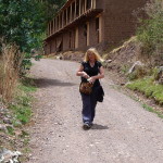
Jeanette, tired and walking down the mountain. That large adobe building behind appears to be unoccupied.
And another photo of that same adobe farm house.
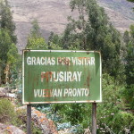
As we near the bottom of the mountain, we pass this sign that reads: “Thanks for visiting Pitusiray. Return soon.”
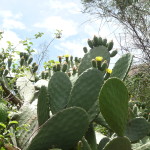
A beautiful cactus in bloom with little yellow flowers.
Near the bottom, we took a shortcut, stepping off the road onto trails that are very steep.
This trail follows an irrigation ditch.
And here, the entire trail is very wet and muddy from the ditch overflowing.
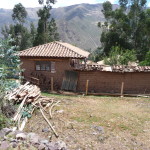
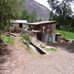
A beautiful little farm house near the trail.
And another little farm house.
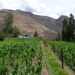
Lots of maize (corn) growing up here.
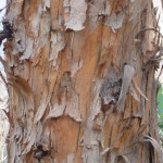
Interesting bark on a eucalyptus tree trunk.
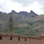
Back in Calca, looking up at the peaks of Mount Pitusiray. The part that we climbed was on the left side, and we did not quite get as high as the the part of the mountain just barely above the roof of this house.
Internet … I Need Internet
My computer screen mostly failed while I was in Bolivia, and my internet at home had stopped working on the first of November … I was craving internet. So when Jeanette and I visited Pisac on November 25th, we went to a restaurant with WIFI. I could barely read my computer screen when I used a bright flashlight to highlight the screen.
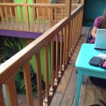
Me at the restaurant, trying to use my computer. By now, it was already well into “hospice mode”.
Reunion With Shenaz
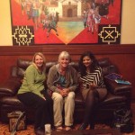
Later that afternoon, we stopped at the Hotel Qasana in Calca to have a reunion with our new friend Shenaz — she is the woman we had met on the seven-hour bus ride from Cusco to Puno.
We were so delighted that she came to meet us.
A Day In Cusco
On November 26, Jeanette and I took her suitcases to Cusco, checked into a hotel, and spent the afternoon exploring.
This is a foot bridge in Cusco, just below the street where the minivans go to and from the Sacred Valley.
On the morning of August 29, 2014, struggling with my emotions from a broken arm, my landlord’s brother, Epifanio, escorted me across this bridge to take me to the clinic where I had my cast put on.
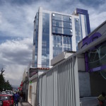
The clinic is in a building just a block further down from the foot bridge (And only about two blocks from the collectivo/minivan stop). That tall building is the place.
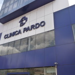
It was at the Clinica Pardo where I met the orthopedic surgeon that saved the day. I will share full details in a written blog.
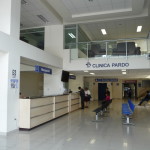
Inside the lobby of the clinic. I was so shaken up that morning … feeling so helpless. I am so grateful for Epifanio being with me and for how he so kindly helped me communicate. The receptionist behind that desk on the left was also profoundly loving and compassionate, as was my doctor.
Soon, Jeanette and I were taking a private English-speaking tour of the ruins of Qoricancha – a large monastery in Cusco built on top of old Inca ruins.
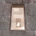
This is a piece of an old Inca wall with a little window in it.
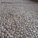
Our guide told us this is original flooring in the ruins. (But I never fully trust tour guides).
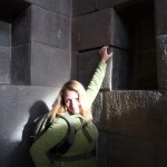
The sun is spotlighting Jeanette as she touches a portion of the wall.
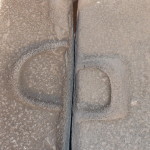
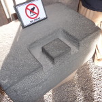
Part of an ancient Inca system of joining two rocks together.
They would make grooves in the rocks and fill them to keep them from shifting.
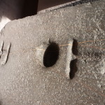
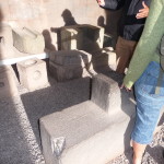
Rocks like this were fitted with other similar ones to hold them from shifting.
Examining some of the rocks with various shapes of grooves.
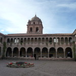
A courtyard inside the old monastery.
Summary
This ends the photos from Cusco … and it also ends the photos of my month-long visit with Jeanette. We spent the night at a hotel near the Plaza de Armas in Cusco and early the next morning, I escorted Jeanette to the airport, where she began her return journey back to the United States.
It was a magical month of reconnecting with an old friend, and of whirlwind visits to all of the major sites in the region. Even in a full month, we barely scratched the surface of possibilities to be explored.
Copyright © 2015 by Brenda Larsen, All Rights Reserved
