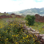
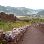
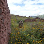
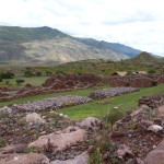
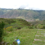
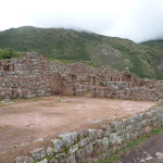
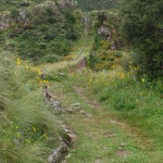
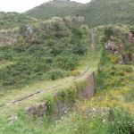
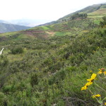
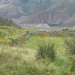
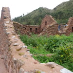
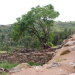
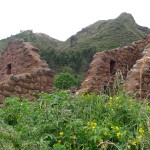
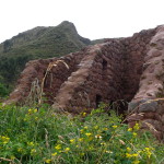
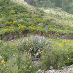
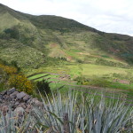
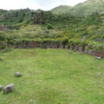
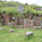
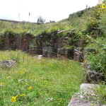
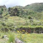
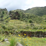
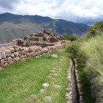
On March 31, 2015, I left Calca and went to spend what turned out to be four nights with my dear friend Sufi (at her home in Taray, about 30 minutes away).
After that magical visit I finally (on April 4) moved all of my belongings to a small hostel in Cusco. My guidance had been to leave Calca at the end of March, but I have always known deep inside that it is time to play a little while I begin to move north, and that there is no important timing – at least for now.
So, as I arrived in Cusco, I decided to take a couple of the tours that I had wanted to do – but had not yet done during my more than a year in the Cusco area.
This post contains about 180 photos that document those tours.
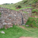
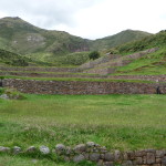
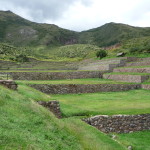
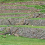
As usual, the photos in this post are thumbnail images. Please click on any photo to enlarge it. The thumbnails leave much to be desired as far as colors and resolution – plus the thumbnails clip all of the edges. I use thumbnails for the post itself, because it gives people an opportunity to get a summary glimpse without downloading huge amounts of data for the high-res photos.
CLICK ON ANY PHOTO TO ENLARGE TO HIGH RESOLUTION
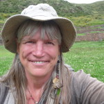
As I did on my last post, I begin with a photo of me back in Calca. My friend Diana just uploaded this to Facebook a little while ago, and I liked it so much that I wanted too add it to my blog.
When we did a ceremony together in December, Diana took this photo of me while I played in a cornfield, across the river from my house. That was a fun and magical day.
Maras Moray Tour
The ruins of Maras Moray and the nearby salt mines have fascinated me from afar … but before now, I had still not visited them in person.
Early on the morning of April 5, 2015, I ventured out to resolve this lack …
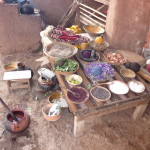
Our first stop was in the high mountain town of Chinchero, where we visited an indigenous textile factory. This photo shows a table filled with natural products that are used to dye the wool.
I didn’t take many photos here because I have seen this process several times in Mexico and in Guatemala.
Maras Moray
Maras Moray is a beautiful place at the northern end of the Sacred Valley, between Chinchero and Ollantaytambo. I would try to describe it to you, but the photos do a much better job at that.
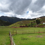
This is just a scene along the road as we draw near to Maras Moray.
And here, we are beginning to drive through the little town of Maras.
Continuing through the town.
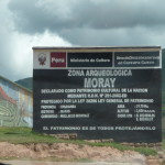
Entering the archeological site of Moray, located in the region of Maras.
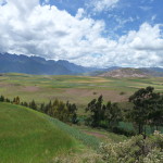
A little scenery just before arriving at the site.
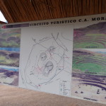
A sign at the entrance, showing the layout of the ruins.
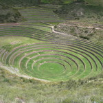
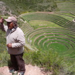
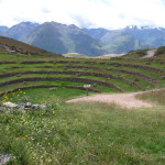
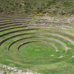
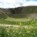
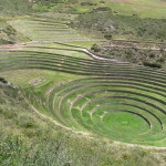
A first glance from above. The ruins are a series of terraces that go deeper and deeper into the ground.
Our tour guide, sharing lots of hot air about various theories of what the ruins were used for. No one really knows for sure. It is all speculation.
A shallower, less-restored section of the ruins.
Closer view of the same. We are not allowed to go down inside.
And even closer…
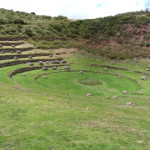
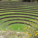
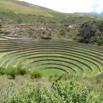
A close view of the bigger, more restored area.
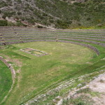
The upper end of this region. The lower part is circular … this part sticks out into a large oval.
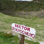
Apparently, this area (sector) is called Qechuyoq Muyo.
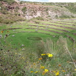
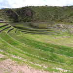
Looking from the shallow end toward the deep end.
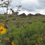
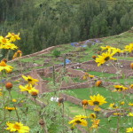
Another similar view, including the gorgeous yellow flowers.
A zoomed in image from the same spot.
Given that I am on a tour, we only had a short time to be back up at the bus. I took this photo as I was about halfway back to the top.
From closer to the top, looking back down.
Minas Salineras
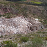
Soon, we were on our way to the salt mines. This photo is from the road as we approach from the other side of the canyon.
You will need to click on this photo to enlarge it and see the detail.
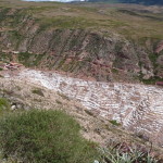
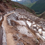
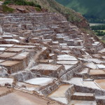
Another view of the upper half of the salt mines. The little pool areas can be seen better if you enlarge the photo.
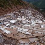
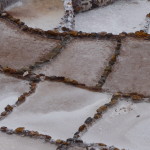
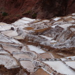
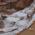
Zooming in closer, looking at the salt pools from above.
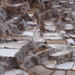
And zooming in even closer. There is a salty spring just uphill, and the water is carefully channeled off into these pools all over the hillside, where the water evaporates and the salt crystallizes.
And a full zoom of the same.
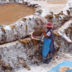
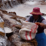
I am now entering the mines on foot. This woman is harvesting some of the salt that has crystallized.
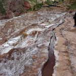
This is where the salty spring flows down a small ditch and feeds the entire hillside. I stuck my fingers in this water and licked them. It was extremely salty.
With less zoom, looking at the little channel that feeds all the pools.
More of the pools, as seen from directly above.
From the middle of the mine area, looking back up at the tourist facilities, and at the little channel of salty water that feeds all the pools.
And from the same spot, but looking to the left, away from the tourist facilities.
Looking at the hillside below me to the left.
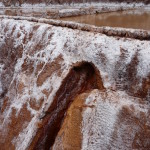
The wall between a higher pool and a lower one.
Looking down at some really white, fully crystallized pools.
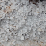
Some really white crystals. I grabbed some of these and put them in my mouth. Yummy salt. While in Calca, I often used salt from these mines.
I took this photo on my way out. You can clearly see here that the woman has a bowl of beautiful white salt (on lower left).
Pikillaqta
On April 6, 2015, I took another tour. This one stopped at a couple of ruins, plus a famous small town.
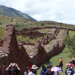
The first of the ruins was one called Pikillaqta (pee-key-YAWCK-tuh). It is from the Wari civilization, and used a mixture of adobe and rock.
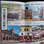
This is my tourist ticket for the region, with the Pikillaqta section having a hole in it (meaning I have now been here).
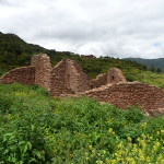
A huge wall just above the parking lot.
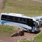
My tour bus … there were more than twenty in my group.
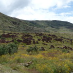
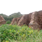
Looking up at the hillside filled with old walls.
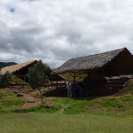
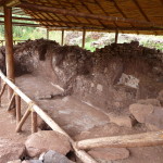
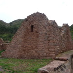
A couple of structures were covered to keep the rain from damaging them.
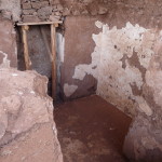
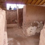
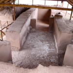
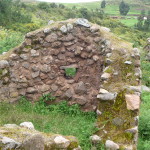
Looking down into one of the structures.
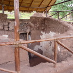
Same place, less zoom.
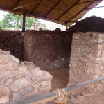
Another inside view.
And another.
The other building as seen from above.
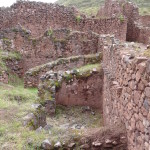
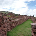
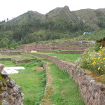
We soon walked through part of the nearby hillside. There is a huge complex of walls here.
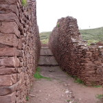
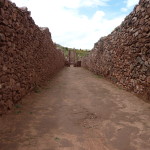
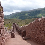
Tall and straight … like main roads.
Looking down a road to the side.
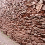
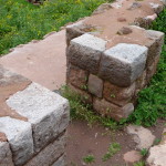
Looking at one wall. I’m guessing much of this has been cleaned and restored.
Looking down at some walls from above.
Another big road area.
And bringing in some flowers to make it prettier.
Looking down another very long pathway.
And a glance behind the wall.
From above, looking down toward the two structures with roofs.
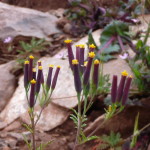
Some very interesting flowers.
And another long path. Our guide says these little short structures on both sides are to hold the wall up during earthquakes.
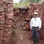
Our guide, talking about the un-excavated space behind him. He says that this is a path that goes back for a very long distance (I think he said a kilometer or more).
Back to the structures with roofs to protect them.
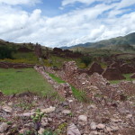
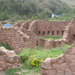
Looking at some more walls across this field.
The sign at the entrance/exit of the ruins.
Andahuaylillas
Next, we visit the famous village of Andahuaylillas (pronounced on-duh-why-LEE-yuhs). We are given a couple of options, but I focus on the museum and the church.
This is just a sign by the highway, to remind me of where we are.
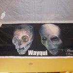
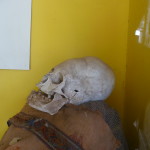
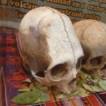
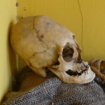
I had heard that the museum has some elongated skulls, and I was eager to seem them in person.
This is the first one I saw.
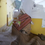
I giggled as I saw this one with straps wrapped around it, showing how scientists speculate that they restricted the skull to make it taller and skinnier …
I giggled because this theory makes no sense to me. So much evidence says that the inner area of the skull has a much bigger volume than a human skull would have. Simply restricting the skull with straps would not have increased the volume … There has to be a more mystical explanation.
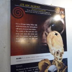
Some speculate that the skulls are from an alien race. I tend to believe this is more plausible than the other explanations.
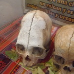
Two other skulls, behind a glass display.
The same two skulls, seen from a different angle.
When I walked by this one on the way out, I was shocked to see that it was just sitting here with no protections whatsoever – and no signs saying “do not touch”.
I took the opportunity and did touch … wow, such an opportunity. So many of the treasures of this region have no security …
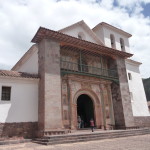
The church of Andahuaylillas …beautiful inside, and over 400 years old. Photos were not allowed.
Tipon
Next, we go to the ruins of Tipon. I had never heard of these ruins before Diana told me about them in mid-march. The main reason I took the tour was to see them.
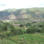
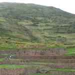
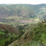
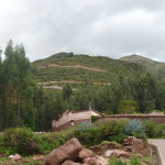
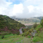
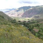
This is taken from the hill above the town of Tipon, looking down at the valley.
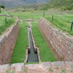
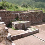
Tipon is famous for its sacred springs. This is where the water leaves the lower end of the ruins.
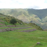
Looking up from the lower end of the ruins.
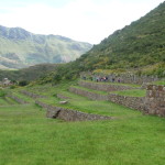
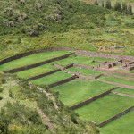
… and from a little higher. You can begin to see the upper area now.
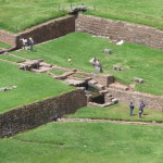
In the middle, looking across at the little streams on the other side.
The top of the ruins, as seen from the other side.
From near the top, looking down toward the valley below.
From near the top, looking down the right side of the ruins.
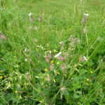
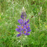
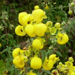
Some flowers in the area.
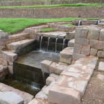
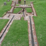
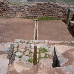
The sacred springs for which Tipon is famous. A single spring feeds a channel of water at the top. That is divided into two little water falls (top right) … which then channel back to a single stream, which is then divided into four water falls (middle) … which then rejoin each other below.
Our guide told us that the four falls represent the four directions or four roads into the Cusco region … and that the two falls represent the male and female leaders who settled the region of Cusco. At least that is the version given to me by the guide …
A dear friend tells me there are some very sacred higher dimensional portals here …
Some of the water flowing below the sacred spring (water falls).
Looking down the valley from above.
I asked the tour guide what is up that trail. He told me that there is a Sun Temple up there. I really wanted to go, but did not have time.
By now, I was feeling deep guidance to leave the tour and to just stay here on my own. It was no surprise when I followed that guidance. I soon told the guide that I would not be returning with the bus.
I had seen some Cusco buses down below in the town (about 40 minutes walking) and knew that I could easily get back to Cusco on my own.
Looking down from above. The springs start at the right center where the people are.
The springs are in the center of this photo. (You cannot see them from here).
Looking up toward the four waterfalls from below.
Looking toward ME, from in front …
This is the upper area of the springs. The water enters from the ground below me, runs in a single channel …. and is then split below into two … then one … then four … then one …
A view of the split channels …
And some gorgeous flowers to match my peaceful, energized state.
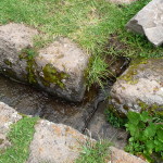
More spring water running down a path at the side of the ruins.
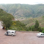
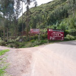
Finally, it was time for me to start walking home. This is the parking lot where the bus was … but is no more. I had to walk to the village far below.
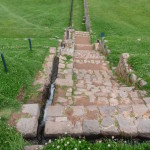
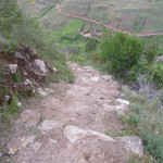
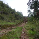
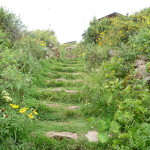
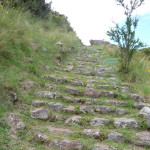
And the hike begins … it was steep, with lots of stair steps … but not a hard hike at all. I was down the the valley floor in about twenty minutes.
Looking back up at the lower part of the trail.
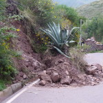
Walking back to the town, I saw this huge cactus that had come down in a previous mudslide.
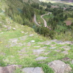
Looking back … the Tipon ruins are on top of this hill, with steep switchbacks in the road. My trail went straight up … (or should I say down) … the middle part with smaller switchbacks.
On my way back to town, I stopped at a little rural zoo that the guide pointed out to us as we drove up the hill. They had a wide variety of animals from Peru.
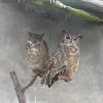
These are obviously some beautiful owls.
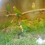
Magical parrots …
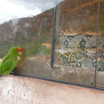
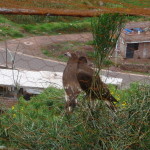
And an un-caged parrot keeping watch over what I think was a boa constrictor.
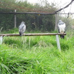
A couple of beautiful hawks.
Not sure what these large birds are …
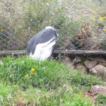
And an unhappy Condor. These birds want room to fly …
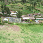
From the top of the zoo, looking back at the road below.
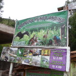
The zoo’s sign … “Zoologico Mundo Andino” … or Zoo of the Andes World.
A picture of the bus company’s logo (I took a minvan) … I want to remember it so I can find it again later.
As we drove home, a huge storm unleashed its fury over Cusco. Even with an umbrella, I got quite wet when I had to leave the minivan to walk back to my hostel. My shoes were very wet.
Tipon Ceremony
While meditating for my extra time up at the ruins of Tipon, I received strong intuitive guidance to come back again the next day … by myself … and to do a ceremony here, for the entire day.
The guidance was so clear that I did not question it … I simply made plans and implemented them.
At 6:00 a.m. on April 7, 2015, I left my hostel and arrived at my bus stop in the midst of a light drizzle. It had rained hard most of the night, but nothing was going to stop me from following my guidance. I knew that either the rain would stop, or else that I would be doing a ceremony in the rain.
I arrived in the town of Tipon at about 7:30 a.m., and immediately began climbing the trail to the ruins. I arrived at the entrance gate at around 8:30 a.m., tired, but determined.
The rain had stopped, but there was still a dark cloud cover … I just kept going.
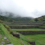
This is a photo of the ruins as I climbed back into them. The ground was very wet and the clouds low.
Looking down at the valley. I was encouraged by the fact that some blue patches were already beginning to form over the valley area.
But the sky above was still very thick with clouds … the sun was barely glowing in a brilliant circle.
The ruins were gorgeous as I sat on a dry bench, under a little shelter, beginning my ceremony and drinking my Huachuma.
After a while, the sun began to break through, and I felt an urge to hike … up toward the Sun Temple above.
So I started climbing. This is a view of the upper part of the ruins from about half way up the trail.
Following the signs, wondering what this Sun Temple is all about …
Soon, the answers came. It is a very old structure on top of the hill that overlooks Tipon.
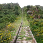
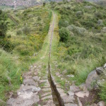
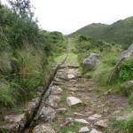
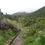
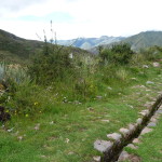
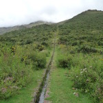
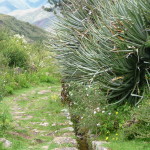
After exploring the ruins, I noticed a trail leaving the back side of the Sun Temple. It soon became a fascinating journey as I found an ancient (and original) Inca Canal. It just goes up … and up …. and up….
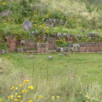
In this spot, they built a wall to fill in the low spot so that the canal could keep going.
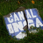
I soon saw this sign (Canal Inca) … confirming my thoughts.
Then I looked to my right and was what looks as if it were an ancient Inca ceremonial / government space.
I will include more photos later. It is a large circular area, overlooking the ruins below, with lots of seats here and there in the wall.
And the beautiful canal goes onward and upward …
Looking off to the side.
… an looking down into the valley far below … with that Inca ceremonial site right below in the foreground.
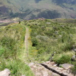
Once I reach a crest in the hill, the canal just keeps going up.
… and up.
… and up.
… a not quite as steep area.
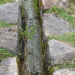
Looking into the canal, it still has a small stream. The rocks are so accurately placed that the water does not leak out.
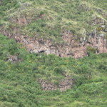
This face on the side of the hill caught my eye. It looks like teeth in a semi-circle at the bottom … a nose just above them … and two eyes a little higher, at the base of the rock area …
And up some more …
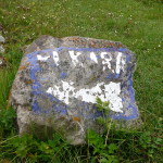
As I contemplated just how far I might climb with this Inca Canal, I saw this faded sign … pointing to the left, to a place called Pukara. I had no idea what it was, but followed the sign anyway … just because.
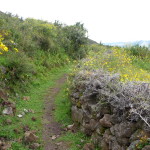
The trail was more level here, and very beautiful.
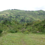
Looking forward across a valley.
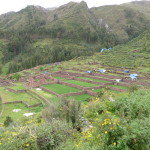
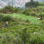
I was surprised to see that I had entered an area of agriculture.
… and gorgeous flowers.
More unique flowers.
As I reached the crest of the hill, I saw that blue tarp in the distance and wondered if that might be where I am going.
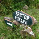
This much clearer sign confirmed my suspicion.
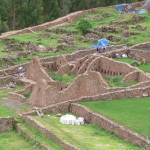
Soon, I was catching a glimpse of a huge complex of ruins – one not even mentioned in the main tour books.
Looking down with a zoom.
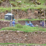
A large crew was working on restoring parts of the upper area.
… and a view of the lower area as I enter the area.
The construction does not look like Inca. It looks like Wari, like the Pikillaqta ruins from yesterday. I soon ask a worker and she confirms that it is a large Wari sight.
… some areas are quite well preserved (and/or restored).
Part of the main area. I sat inside here and meditated for a while.
It was inside this wall where I meditated.
Looking down from the lower area of the ruins.
It was fun to be in a place that is so unaffected by tourists, and still being worked on.
More beautiful walls.
Slightly different view of the same.
… and another.
This part looks almost like the Inca style … perhaps they lived here after the Wari …
Hiking back up the hill from Pukara.
And another glance backward, through the gorgeous flowers.
I heard some noise and saw this little boy playing while his mother works in the field.
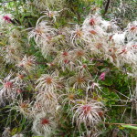
Being in ceremony, I was very connected to the plants all around me. I thought these were gorgeous.
Back to the Inca Canal, I found the spot where water was entering. Above this spot, the channel was dry.
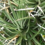
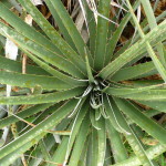
Loved these cactus plants as I walked by them.
Especially loved this one … this is a side view … it is growing out of the side of the hill.
Following the canal back down.
Upon reaching the ceremonial site, I decided to climb down inside.
The view from the ceremonial site, looking back down at Tipon far below.
Taken from the same spot, turned around 180 degrees, looking at this area that I an only presume is a ceremonial site or place of leadership.
All around the sides of this circle are what look like seats for the leaders or perhaps the priests.
I know I am just creating another story here. I have no way of knowing what actually took place … just intuitive hunches.
I love this one from down in the circle, with the canal at the top left.
And this similar one with different lighting. You have to enlarge these to really see the beauty here.
Finally, arriving back at the Sun Temple.
I hadn’t noticed it before, but the canal runs right down into the middle of this room.
A view from below, looking at where the canal enters the room, runs through that fountain/pool structure, and then leaves out the other side.
A view of Tipon as I walk down from the Sun Temple.
Zooming in on the sacred spring / waterfalls far below.
When I reached the springs below, it was a perfect opportunity to connect with those waters.
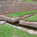
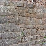
A look at the Inca rock walls.
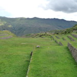
Looking down the ruins from the right side.
Looking back down at the town of Tipon below.
It is time to leave. I stopped part way down and took this looking up. I took a different trail to the bottom this time … a trail built by the Incas themselves.
Looking down the trail at the switchbacks in the road far below.
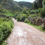
Once at the bottom, I followed this dirt road until I reached the paved highway.
After joining the road, right here, I was back in the town of Tipon about twenty-five minutes later, where I easily caught a large bus that dropped me off an hour later just a half mile from my hostel.
Cusco Wrap-Up
I loved my extra three days in the Cusco area. It was a magical opportunity to see more places that I had not yet visited … and to do a beautiful ceremony up at the ruins of Tipon.
I am so profoundly grateful for my eleven months in the Cusco region (with nine of that being in Calca) … soooo profoundly grateful for the healing and growth that has been more than life-changing.
After one more day resting, doing laundry, and packing, I was ready to move on … beginning the migration part of my journey northward. I was feeling deeply drawn to Arequipa.
Copyright © 2015 by Brenda Larsen, All Rights Reserved
