On Friday, April 10, 2015, at around 3:00 a.m., I left my hotel in Arequipa and set off on an unforgettable adventure. After a three hour drive, climbing to and then descending from a 16,000 foot mountain pass (just under 5000 meters), I would then eat breakfast in the town of Chivay. Later, after driving another hour, with a stop to see the Condors at “Cruz Del Condor”, I would begin a three-day hike, descending 4000 feet (1200 meters) down into the bottom of Colca Canyon — a canyon in southwestern Peru that, in places, is twice as deep as the Grand Canyon in Arizona.
I did not yet know it, but I would be part of a group of six – me, a young woman from the U.S., a young Peruvian couple from Puno, and two older gentleman from Germany. Then there was my tour guide, Roy, from the town of Arequipa.
This post contains 219 photos from that magical adventure, including detailed story narratives for each.
As usual, the photos in this post are thumbnail images. Please click on any photo to enlarge it. The thumbnails leave much to be desired as far as colors and resolution – plus the thumbnails clip all of the edges. I use thumbnails for the post itself, because it gives people an opportunity to get a summary glimpse without downloading huge amounts of data for the high-res photos.
CLICK ON ANY PHOTO TO ENLARGE TO HIGH RESOLUTION
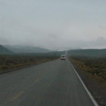
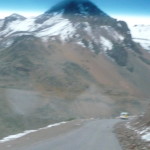
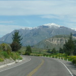
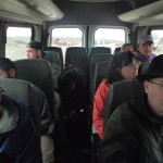
Arequipa is located in a hot desert, which is pretty much like most all of the Pacific-coast side of the Andes mountains. For the first part of our journey it was cold, cloudy, and dark outside. This photo is looking forward through the windshield of our 2o+ passenger van, just after sunrise.
You can see lots of the dry sagebrush-like plants on the roadside, and fresh snow on the high mountains not that far ahead. It is an interesting climate here.
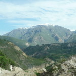
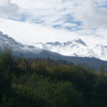
With a full zoom, looking at some very tall mountains in the distance. Most of the mountains around here are at least 16,000 feet and higher.
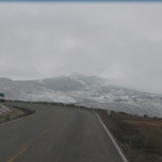
You can see in this photo (as we near the 16,000 foot pass) that we are in an area with fresh show just ahead … but this snow melts during the day.
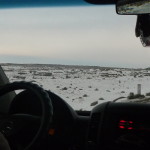
In this photo, we are driving over (or very near) the top of the mountain pass. Absolutely nothing grows right here. It is lots of rock, with a dusting of snow. I went over this pass four times, with snow twice, and just dry rock the other two times.
In this photo, we have gone over the top and are headed back down the other side, toward Chivay, which is at around 11,000 feet.
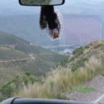
That is Chivay in the distance, in the center of the photo, beyond the nearby hills. That is some kind of “Virgin Mary” religions photo hanging from the rear view mirror.
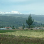
Arriving in Chivay, with magical mountains in the distance.
I am sorry that these photos are not all that clear. The van’s windows were somewhat dirty and foggy.
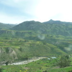
After breakfast at a small restaurant in Chivay (bread with butter and jam, plus a papaya juice), we began to drive through the upper reaches of Colca Canyon. This part is not very deep.
The part of Colca Canyon where we will hike is down toward that mountain in the distance.
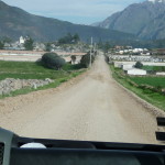
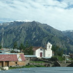
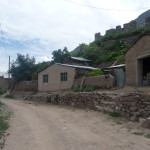
The road soon turned to dirt as we made our way through many small towns and villages that line the rim of the canyon. I believe this one might be the town of “Maca”.
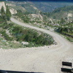
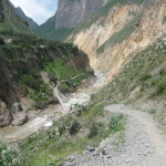
More of the road leading toward the middle canyon area where we will hike.
Looking down at more of the upper canyon (the shallow area).
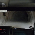
I was surprised when we passed through this very long tunnel. During my second trip through this tunnel, the driver turned off the lights in the darkest part … just to scare us … and his assistant played Michael Jackson’s “Thriller” song to add to the mood.
As we near the exit to the tunnel, I got this cool photo. The road is dirt in here, and it is very dusty, adding to the mystical image.
Almost out of the tunnel.
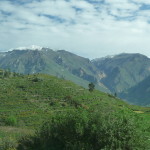
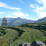
Looking off to the right, toward the canyon area. It is starting to get greener and deeper.
Passing through another small town.
Little by little, we near the middle canyon area.
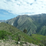
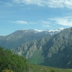
The tops of these mountains that line the canyon are snow-capped. The bottoms are hot and dry.
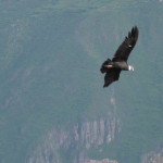
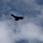
Finally, we stop at the “Cruz Del Condor” view area (crossing of the Condors). At this large view area, many majestic Condors often congregate and soar in the currents that rise from the depths of the canyon.
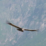
This is one of those beautiful Condors.
And another.
I love this one. It took great concentration to aim and focus the camera with just the perfect zoom. After several good shots, I put the camera down and just focused on being present, in person.
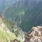
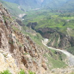
Looking down toward the bottom of the canyon. It is somewhere, off in that direction, where we will be hiking.
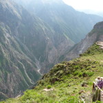
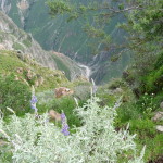
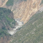
This is looking to the right, toward the upper canyon. You can barely see the river several thousand feet below (lower-left center).
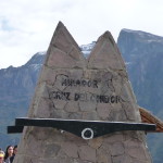
This is one of the markers here at the view area. It reads “Mirador … Cruz Del Condor” … meaning “View Area … Crossing of the Condor”.
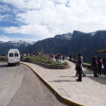
This part of the road was paved again (right in front of the view area).
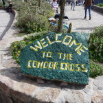
Here is another sign in “literally translated” English. I often make this same mistake when trying to translate English to Spanish – just taking one word and literally translating each word individually. In this case “Condor Cross” should be more like “Crossing of the Condors”.
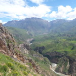
Finally, we are at the top of the trail … looking down at the valley where I will be hiking.
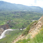
Looking across the valley toward the town of Cosñirhua (middle). On our first day, we will hike down the near side of the canyon, 4000 feet to the river, and then back up 700 – 800 feet up the other side to the town of San Juan de Chucho. On the second day, we will hike further up the other side to Cosñirhua before descending back to the river at Sangalle.
In the upper right of this photo, you can see part of Tapay. I hiked there on my second trip into the canyon.
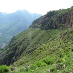
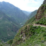
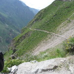
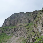
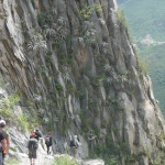
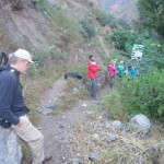
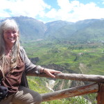
In this photo, I am standing near the beginning of the trail, looking at the first part of the trail that goes off to the right. The trail follows the bottom of that rock cliff.
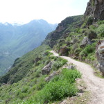
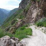
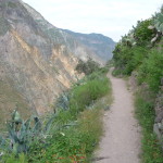
More of the early trail. This part is much easier than the last parts. We go fairly level for more than a mile (with some decline) … then, when we reach a part where it is possible, we zig zag right down the side to the bottom.
At one point, we can look down and see the Oasis Sangalle at the bottom, to our left. This is where we will spend our second night, just before hiking back out of the canyon.
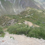
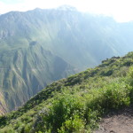
More of the upper trail. This one shows how the drop off to our left gets steeper and steeper.
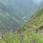
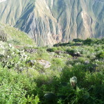
Purple wildflowers in the foreground with the trail continuing in the right-center distance. That is the river in the far center distance.
The trail was fairly wide with good footing here on the early parts. Further down, it is steeper with lots of loose rock. I had to be extremely careful to maintain footing.
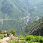
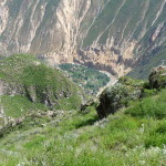
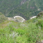
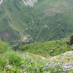
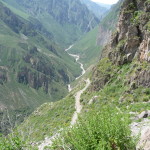
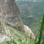
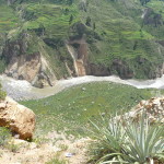
Looking over the edge almost straight down toward the bottom, with the river below. If you look closely you can see some buildings above the river on the right side. That is the town of San Juan de Chucho, where I will be spending my first night.
While hiking down one switchback to the left, I look off to the right where the trail continues. The cliff over there is quite steep.
Looking up from the trail, back toward the top. We have not yet dropped down very far.
Remember, I am using a strong zoom with most of these photos.
Another photo looking down at San Juan de Chucho, where we will sleep tonight. Yes, this is taken with a zoom. It is a long way down there.
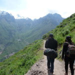
Following the young couple from Puno (Peru). Here name is Yeseña. I feel bad, but right now, I cannot remember his name. I have it in my voice recordings, but do not have time to go searching. They are a really delightful couple.
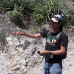
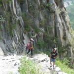
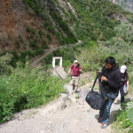
This is Gunther … one of the delightful men from Germany. That is Bent (the other man from Germany) right behind him … and Roy (our tour guide) in the back, with the dark shirt and white cap.
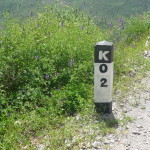
We have hiked 2 kilometers … just about 1.2 miles. It is about 9 kilometers to the bottom and back to San Juan de Chucho.
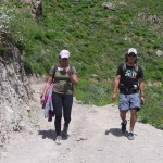
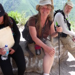
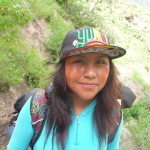
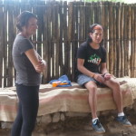
This is Amada (my new friend from the U.S.) on the left, and Roy (our tour guide) on the right.
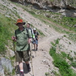
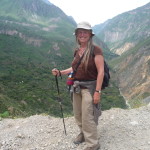
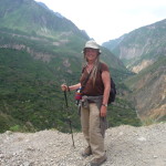
Me, resting during a short break. I found this broken walking stick by the road, near the start of the trail. Roy had some local people patch it up with duct tape and then gave it to me. I used it all the way.
That is Bent behind me, looking quite tired.
Roy. He was a very fun tour guide.
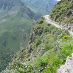
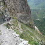
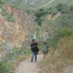
More of the trail. This photo gives a good perspective on how narrow the trail was in places, with a steep drop off to the side. The first part is sort-of sloped … but then goes straight down.
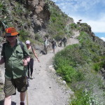
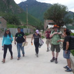
Gunther … Amada … Bent … Roy … and the young couple from Puno.
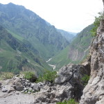
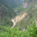
Looking up the canyon (with a zoom).
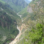
In the center foreground you can see the trail below. It seems to merge with the river in the far distance down below.
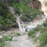
With a very strong zoom, looking down at the bottom of the canyon. There is a bridge where we cross, not quite visible at the bottom of the photo.
Another view looking down.
Looking back to the left. We are beginning to drop down that cliff that has been below us all the way. That is the town of San Juan de Chucho in the right center, on the other side of the river. I will sleep there tonight.
I love this photo as we go back and forth down switchbacks alongside this steep cliff.
Amada and Roy down below.
Similar, without the zoom. This is where the trail gets steep, narrow, and slippery with loose rock.
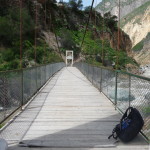
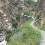
Finally, we can see the bridge down there in the distance. This is taken with a zoom.
And now, we are getting closer. Yippee !!!
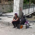
Amada, resting by the bridge.
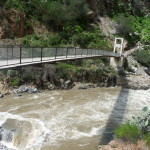
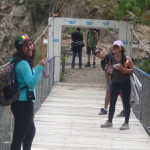
We had to show our tickets here in order to cross to the other side. I did not know it on this trip, but when I come back here, I learn that my ticket only gives me the right to cross this bridge three times. Luckily, I only needed to cross it twice.
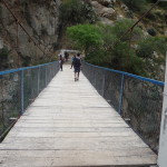
Looking toward the other side.
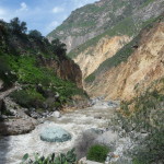
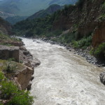
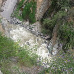
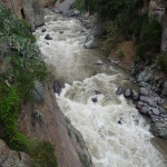
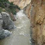
Looking upstream.
Looking directly across.
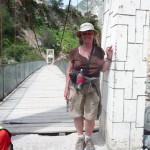
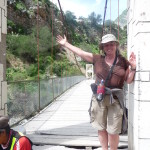
Me … tired, hot, and sweaty …
… but also happy. I made it. (but not so happy that we have to climb a little on the other side to get up to San Juan de Chucho.)
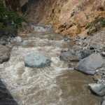
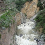
Looking down at the river as I cross.
Looking downstream as I cross.
And another upstream as I cross.
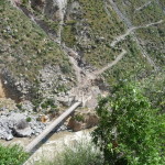
After hiking a little way back up the other side, I take this looking back toward the bridge (and part of the trail).
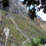
Looking back toward the lower part of the trail. We hiked above that highest cliff, then came down the mountain on the near side of the cliff. If you click on the photo to enlarge, you can also see Roy on the right side, as we take a short rest in the shade.
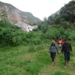
Roy leading the way as we hike along the far side of the river, perhaps 600 feet above the bottom below on the left.
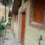
Finally, we arrive at “Posada Gloria” … our home for the night. We eat lunch as soon as we arrive.
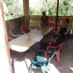
Some of the group, visiting in the dining area.
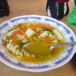
Lunch was actually quite delicious. First, we had a yummy soup … then a large plate of Lomo Saltado (sauteed beef with peppers, onions, and french fries).
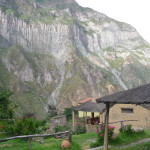
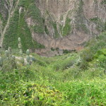
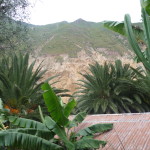
Looking down toward the dining area with the canyon wall on the far side. The start of the trail was at the very top center of this photo. We hiked along the ridge, heading left. Finally, we dropped down to the left of that cliff with a very steep zig zag.
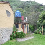
The bathroom area. That red tank is a solar-heated water tank.
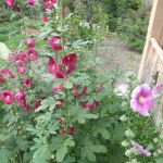
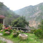
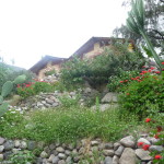
These flowers by the dining area really spoke to me. They remind me of the “Hollyhocks” that my grandmother grew in her garden when I was very young.
Somehow, these flowers were partly involved (along with that majestic canyon wall) in energetically drawing me to return to this spot. This was Friday evening. On Sunday morning we left the canyon, on Monday I rested in Arequipa, and on Tuesday morning I hiked back down here all by myself.
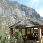
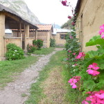
More of the beautiful area of “Posada Gloria”. that is the dining area on the left, and the kitchen on the far left. Straight ahead at the end of the path was a tiny store where Gloria sold snacks and drinks.
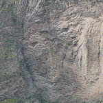
This part of the massive cliff across the canyon reminded me of the face of a wise old native/indigenous grandmother.
Another view looking upstream and across the canyon.
And another. The canyon wall just connected to my soul.
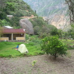
A young couple put up a tent down below. Out of curiosity, I asked Gloria about staying here. I found out that she charges 10 soles per night to rent a room, and 10 soles for each meal (except 8 soles for breakfast) … allowing me to stay here for 38 soles per day (less that $13.00 US).
After a yummy dinner and a much-needed sleep, we got up in the morning to a delicious crepe breakfast.
We began hiking again at just after 9:00 a.m. …
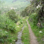
the first part of the trail was quite easy … a slight upward slope, hugging the canyon wall.
Looking back down in the direction of the river.
Roy knew a lot about the plant medicines here. The young man from Puno had a cut on his head, and Roy put some type of plant sap on it to help it heal.
Soon, we were hiking up a small canyon to the right.
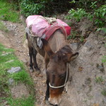
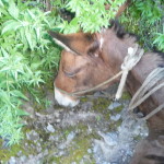
This mule asked us to move over so he could pass.
They use the mules a lot here in the canyon. San Juan de Chucho has no road access … only hiking trails.
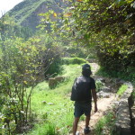
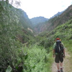
Gunther, hiking in front of me.
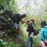
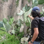
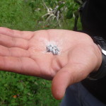
Roy, grabbing some little bugs off the cactus. I think they are called chinchinillas. They are tiny little insects in a white powder. I have seen them several times during textile demonstrations in Mexico and Guatemala. When you squeeze the bugs in your fingers, they contain a blood-red dye that is used to dye wool.
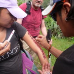
Roy, holding some of them in his hand.
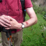
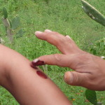
He squished them and put some of the red dye on Bent’s arm.
Then he proceeded to decorate Amada’s arm.
They were having a lot of fun with the design.
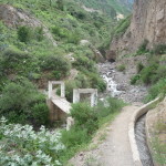
Soon, off in the distance, we saw the bridge that would take us across the small river on this side canyon.
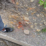
But first, Roy showed us this orange rock power on the ground by his shoe.
We each got ceremonial stripes painted on our face. I like mine.
Yeseña with her stripes.
After crossing that little bridge, we had another steep and treacherous climb. It was only perhaps 400 to 600 feet up, but was very slippery and difficult.
From part way up, looking back down to the trail far below.
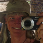
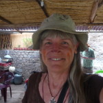
At the top of this trail we found a little store/restaurant/rest area, right on the edge of the village of Cosñirhua. There was a mirror on the wall, so I took a photo of me taking a photo of me with red stripes on my cheek.
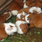
They were growing some guinea pigs here. I tried not to think about what they do with them (they eat them in Peru).
Another selfie with stripes.
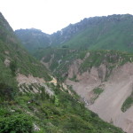
From the rest area (Cosñirhua) looking back down across the canyon. You can barely see the river far below in the lower right center.
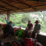
Inside the little rest area, enjoying a breather.
Roy and Amada resting.
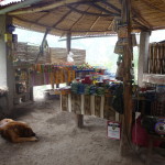
They have lots of fun things for sale here.
As we hiked to the next village over (Malata), I did a full zoom on my camera and took a photo of the beginning of the trail on the far side of the canyon.
If you look closely, you can see a covered structure where the slope on the left reaches the middle and then goes flat to the right. That is the beginning of the trail from yesterday.
This is the exact same photo, taken WITHOUT the zoom. The beginning of the trail is right there where the slope turns to flat — just minutes from the town of Cabanaconde.
Hiking between Cosñirhua and Malata. There is a road here.
The trail we will follow goes off through the trees in the far distance.
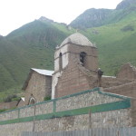
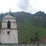
The church in Malata. At this point we are about 1200 feet above the river, and soon we will be descending back to the river.
The little town square in Malata.
My group resting in Malata.
The Malata church, with gorgeous very tall mountains in the background.
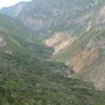
Looking back (upstream) up the canyon from Malata.
With full zoom, taken from the same spot, looking way back at the bridge that we crossed on the first day. (click to enlarge the photo)
Me, having a delightful time.
Another very similar photo. Both of these are taken looking up the canyon.
Taken from the same spot, looking down the canyon to the right. Here is where we begin our descent. The first part is fairly gradual.
Looking back up toward Malata and Cosñirhua (and even Tapay in the far distance).
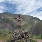
A cross along the trail. Many here are very religious.
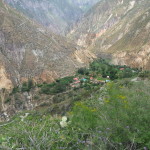
Looking toward our day-two destination back down by the river. That is the town or “Oasis” of Sangalle. There is a warm-water spring that feeds many swimming pools in the town.
This is the source of the spring. It is not really hot water as they call it. It is barely warm enough to not be too cold to swim in.
Roy and Amada, hiking below me.
Finally nearing the river below once again.
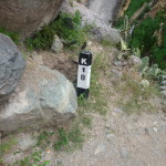
Kilometer eighteen, which is just over eleven miles so far on this trip.
Approaching the bridge to cross the river, yet again.
Almost there.
Looking down as I cross over.
… and on the other side (downstream).
Yeseña, Amada, and Roy.
Looking upstream, with the trail on the left (the one we just came down).
And then, we have to hike UP again … puff puff … I finally make it.
This is my room at our hotel.
Another view of my room (on the right).
Looking across the river from our hotel.
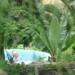
A glimpse of our pool.
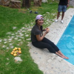
Amada in the near corner, munching down some freshly picked mangos.
A much better photo of the same (zoomed in).
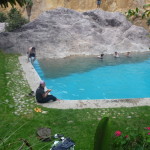
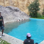
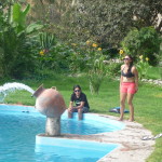
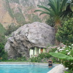
Roy and Amana by the pool. One side is a huge rock.
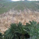
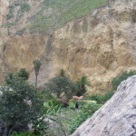
Another view of those yellowish cliff across the river.
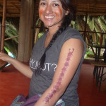
Amada with both her arm-art and her orange stripes.
Roy and Amana down by the pool.
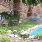
Guther and Bent talking by the pool (far left). That is a hammock in the foreground. I am taking this photo from another hammock.
Looking across the canyon from a different angle.
A different pool at another hotel, right below us.
The environment here is quite tropical.
Around 4:00 p.m., Roy took our group to show us a way down to the river below.
We had a lot of fun playing down here.
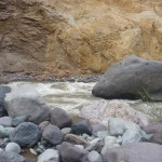
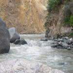
Looking upstream.
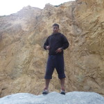
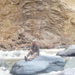
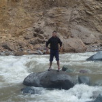
My young Peruvian friend, on top a huge rock. I tried to follow him up there, but it was too high and slippery for me. The rock was almost polished.
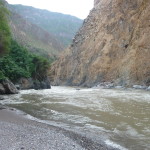
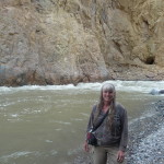
Looking downstream, with Gunther on the left.
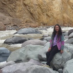
Me, loving the river.
Amada, enjoying the cool evening air.
Our group, hanging out and playing …
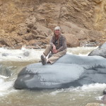
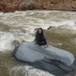
Sitting on a whale (almost) …
Another similar photo.
And another …
Amada on the same magical rock.
Roy, on top of the same rock that I dared not climb.
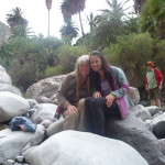
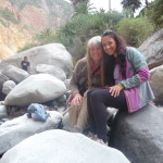
Me and Amada, with Gunther watching in the background.
… and another with Amada and Brenda.
My young Peruvian friend, being confidently adventurous.
Just enjoying the feeling.
On our way back from the river, we stopped in a large pasture and knocked oranges and another strange fruit out of some old abandoned trees.
Holding a bunch of oranges.
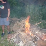
Amada, Gunther, and Bent … gathering firewood.
We all spent about a half hour enjoying the fruit and gathering firewood. We had planed a fun campfire for later.
A local worker piled all of our wood in a huge clump that would never have burned efficiently.
The huge clump …
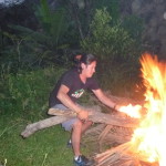
Roy then came over and rearranged it all, leaving lots of room for air. Being an eagle scout myself, I could easily have done the same, but I choose to simply watch and giggle.
We debated saving the fire till after dinner. I suggested that we start it now, because the weather looked threatening.
We were all glad that we started the fire when we did, because after about fifteen minutes, the skies opened up and we were rained out.
Roy playing with the beautiful fire.
Not long after this we ran away because of the rain. After dinner, we all retired quite early. But first, I told Roy that I wanted to ride a mule to the top tomorrow.
Roy told us that we would be hiking out at 5:00 a.m., and that we needed to be at the top by around 8:00 a.m. … I knew I could make it to the top, but that it would take me at least four hours to do so, and I didn’t want to slow the group down … plus I have always wanted to ride the donkeys on the trails in the Grand Canyon, so why not ride mules here instead.
I was a little nervous about riding mules on these narrow, steep, slippery trails … but after checking my heart, the giggles said yes … I was excited to do it.
I got up with my group at 4:30 a.m., so I could see them off. They began hiking at 5:00 a.m..
The mule guy was supposed to come at 5:30 a.m., but did not show up until almost 6:30 a.m.. I am glad I stayed behind, because Bent (who was also riding a mule) was quite sick and did not speak a word of Spanish. If I had not been there, I am not sure if he would have been able to get his own mule. I took care of him and made sure our mulero (mule handler) did not leave him behind.
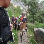
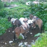
These are four of the mules that came to pick up our group of seven (Bent, me, and five from other tours).
Bent, barely able to stand up, as we wait for our ride.
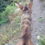
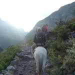
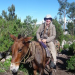
My main view for the next hour and forty minutes. I was clutching to the jagged metal edge of a homemade saddle, with the tips of my toes stuck into less-than-adequate stirrups, hanging on with a giggle while using every muscle in my ankles and feet to maintain my balance and stability.
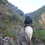
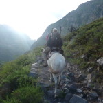
Another common view was looking at the tail end of Bent’s mule in front of me. In this photo he is quite far ahead, but usually, he was just a few feet ahead, with my mule’s head bumping into his mule’s behind.
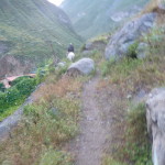
A more common view as we climb the rugged steep trail. I didn’t take too many photos because it was very difficult to hang on and to take photos at the same time. I didn’t want to lose concentration on the steep parts.
And more typical view. I didn’t look to the side very much. It was quite nerve racking when the mule would stop on the edge of a steep drop off, just munching on some grass.
I was a little nervous at first (more typical view) … but quickly decided that I had two choices. I could get to the top as a frazzled mess, or I could get to the top with giggles and relaxation. I choose the latter option.
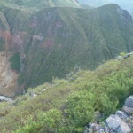
One of the few times I looked off to the side with my camera. If you look at the mountain to the left, across the canyon (at the far right side) you can see some zig zagging lines coming down the mountain. That is the trail we came down on yesterday (on day two).
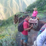
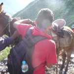
It WAS an eventful ride. At one point, our mulero (the mule handler with the red shirt and black backpack) stopped the lead mule and brought it back to position number four (where there was room) so that he could readjust the saddle.
When we resumed the climb, that mule was jostling for position because it wanted to get back to the lead position, but was now number four. It didn’t like that very much and kept trying to pass the woman behind me whenever the trail was barely wide enough.
As one point the mule tried to pass and both passengers fell to the ground as the mules collided. I was quite shocked to look down and see them both on the ground. Luckily both were OK. That mule continued to try to pass several more times, making me nervous.
Finally, the mulero got me down off my own mule, because my saddle was also starting to slip loose. After fixing my saddle, the mulero moved that alpha mule back to the front so he would not cause any more commotion.
I was quite glad when the ride became more peaceful again.
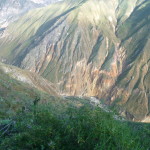
Looking back down at the bottom below. This is with a lot of zoom. We are very high right here.
It seemed that on every switchback, my mule would first go as far forward as he could, and would then begin to turn his head to reposition himself on the sharp bend.
It seems I got ahead of myself with previous narratives. That previous photo was when the first saddle adjustment was happening. This is my mulero adjusting my own saddle. This young man walked all the way up the mountain, chasing and guiding the mules as if he were not the least bit tired.
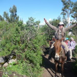
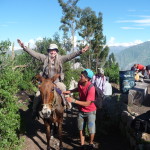
Finally, after about an hour and forty-five minutes, we neared the top. When Roy saw me, he ran to ask me for my camera. Then ran back to the top to snap these final photos. I am so glad that he did that.
In this one, I raise my arms in the air, feeling quite exhilarated.
And my mulero holding the mule for a couple of final photos before I dismount.
When my feet first hit the ground, I could hardly stand up. Having to use my foot and ankle muscles all the way to the top was quite strenuous in its own way.
From the top, looking back toward the rim of the canyon.
Looking across the canyon. Just right of center, behind the near ridge, you can barely see the town of Malata down there.
We hiked for about fifteen minutes to get from the top of the trail back to the town of Cabanaconde. Part of the hike involved moving through beautiful corn fields.
My only casualty on the mule ride was a tiny blister on my right hand – on the spot where I was clinging to that rough metal-rimmed homemade saddle. The blister went away within a couple of days.
The view up here was gorgeous. These are some nearby mountains towering above the skyline.
Same mountains, less zoom.
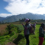
Amada, taking photos on the way back to Cabanaconde.
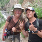
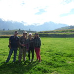
Me, Amana, and my young friends from Puno, posing in the beautiful scenery.
Soon, we were enjoying a delightful breakfast in the town of Cabanaconde.
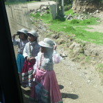
On our drive back toward Chivay, our van stopped in the middle of the road. Some local children were dressed up in traditional clothing and dancing … hoping for some tips.
Looking down in the shallower, upper canyon area, as we head back toward Chivay.
More scenery on the way back.
… and more of the upper canyon.
… more of the same.
Stopping at a view area.
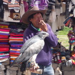
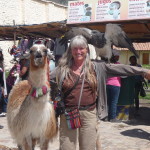
Stopping in the town of Maca. This huge hawk caught my attention.
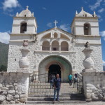
But first, I wanted to see the local church. I love the old architecture.
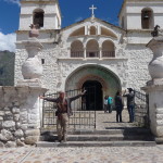
… and a similar photo, but with me posing in front of the gate.
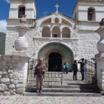
… another one with me in it.
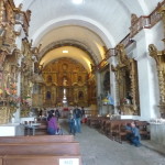
Inside the old church.
Soon, that beautiful hawk caught more than just my attention.
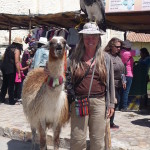
It was one thing to have that huge bird on my left arm. It felt quite different to have those powerful claws gripping at a hat on my head.
You might want to click on this photo to see the details. That huge hawk is on my head.
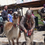
Me reaching into my purse to tip the woman making this opportunity fun for both of us.
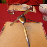
Goofing around at lunch, making a silverware pyramid. We ate lunch at a delicious buffet in Chivay.
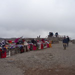
After leaving Chivay, we climbed back to the top of that 16,000 foot pass, and got out of the van for a short stop. There were many vendors up there, hoping to sell things to tourists.
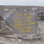
The painted sign on this rock says we are at 4,910 meters above sea level, which is more or less 16,000 feet.
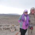
Amada and I taking a photo together on top the mountain pass. It was very cold up here.
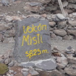
Another rock sign labeling “Misti Volcano” off in the distance. That volcano is 5,825 meters, or over 18,000 feet.
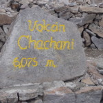
And another sign labeling “Chachani Volcano” as 6,075 meters, almost 19,000 feet.
Some of the mountains in the distance as seen from the pass.
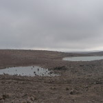
The top of this pass is very barren … lots of rock with a few ponds of snow melt.
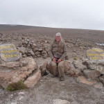
Me, sitting on top.
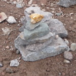
A pile of rocks that I built to mark my presence on top this mountain pass. That rock on top came from the river at the bottom of Colca Canyon.
Back in the van, headed back to Arequipa.
It was a magical three days of hiking, adventuring, and making new friends. I arrived at my hotel in the mid afternoon, and crashed for most of the day.
On Monday, rested, did some laundry, and made arrangements to do it all over again on Tuesday, but this time without the tour guide, and without the schedule.
I am so grateful that I followed my heart and went on this trip. The mind chatter in my head (and one travel agent) had tried to tell me that I couldn’t do it. I went anyway, and I DID do it, and had a marvelous and magical time.
Copyright © 2015 by Brenda Larsen, All Rights Reserved
