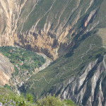
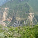
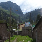
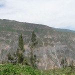
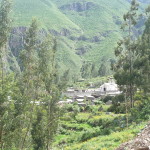
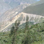
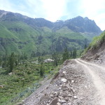
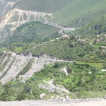
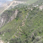
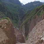
Early Thursday morning, April 9, 2015, I arrived in Arequipa after an exhausting all-night bus ride from Cusco. Once I was settled into a small hotel near the center of town, I began to explore. I already posted photos yesterday from my three-day trek to Colca Canyon from the 10th to the 12th of April. In this post I share all of the other photos I took in the area, including another solo journey back down into that majestic Colca Canyon.
This post contains 163 photos from that fun ten-day adventure, including detailed story narratives for each.
As usual, the photos in this post are thumbnail images. Please click on any photo to enlarge it. The thumbnails leave much to be desired as far as colors and resolution – plus the thumbnails clip all of the edges. I use thumbnails for the post itself, because it gives people an opportunity to get a summary glimpse without downloading huge amounts of data for the high-res photos.
CLICK ON ANY PHOTO TO ENLARGE TO HIGH RESOLUTION
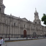
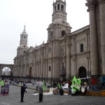
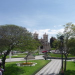
This is a huge cathedral on the “Plaza de Armas” at the center of Arequipa. It literally consumes the entire block.
This building illustrates why Arequipa is often called the “White City”. Most of the older buildings in town were built with a very distinctive white rock.
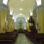
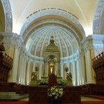
Inside the cathedral. I had to take a tour to get there …
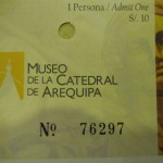
My ticket … just to remind me where we are when I look at the photos later.
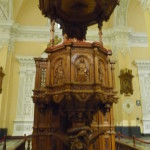
… more inside.
… and more. It is gorgeous in here.
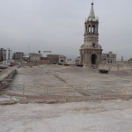
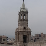
I was surprised when part of the tour actually took us outside and up on top of the cathedral. That tower is one of the bell towers above the cathedral.
Closer view of the bell tower.
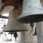
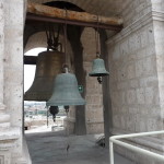
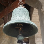
A couple of the bells. The tour guide wouldn’t let me ring the bells. It would have been so fun. I did touch the ropes, and they are extremely heavy and hard to move.
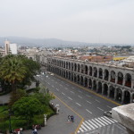
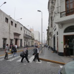
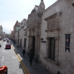
Looking down off the roof at one of the streets surrounding the Plaza de Armas below. If you follow this street for a block and a half, you will find my little hotel.
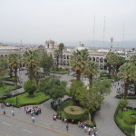
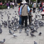
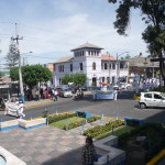
Looking down off the roof at the center of the Plaza de Armas. This is a beautiful plaza, filled with lovely people and lots of pigeons.
More bells in another tower on top the cathedral.
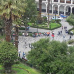
Looking down with a zoom, watching an area where many of the pigeons and children congregate together.
The main bell … the words at the top read “Catedral de Arequipa” (I cannot read the lower words.)
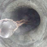
Looking up into one of the huge bells.
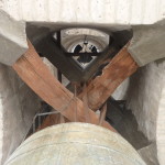
Some of the huge timbers and straps supporting the bell above. It looks extremely heavy.
Down below the cathedral, near one corner, there were some protesters there – protesting against some mining operations in a nearby area. They called for a strike on the day that I had a bus ticket to leave. Luckily, my bus left anyway …
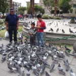
I loved watching the children play with the pigeons in the Plaza de Armas.
Many local photographers turned it into a business where they would take photos of people playing with the pigeons, charging a small fee, and then posting the photos on the internet. That man with the tan jacket is one such photographer.
More children and pigeons.
My hotel is a half block down this street. The entrance is just a tiny stairway that leads to the second floor, where it then opens up into a beautiful place.
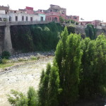
This is the Chili river, the main river that flows through town.
I took this, and these next photos on my day off between my three-day trek and my solo trek that begins tomorrow.
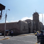
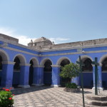
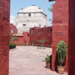
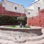
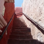
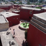
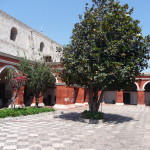
This is the Santa Catalina Monastery. Parts of it are still used as a monastery today, but most of it has been turned into a huge museum.
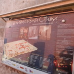
The sign in the lobby.
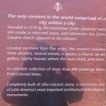
More of the sign. It contains details about how the monastery was founded in 1579. You can click on the photo to enlarge it if you want to read more.
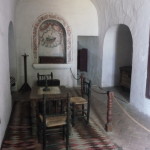
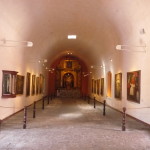
This and many of the following photos are taken inside the monastery. I will comment when there is something unique that I want to say. Otherwise, I may just post photos here without comments.
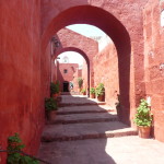
This monastery is like a city within a city … filled with plazas and lots of little streets.
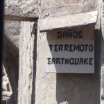
This sign translates to “Earthquake damages”
This is an outdoor area where people did their laundry.
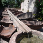
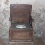
I’ve never seen a toilet like this one.
Return To Colca Canyon
As I shared in my previous post, while in the little village of San Juan de Chuccho on the first night of my three-day trek into Colca Canyon, I felt strong energetic guidance to return to the canyon by myself and to do some ceremonies in that part of the canyon.
I returned to Arequipa on April 12th, spent the 13th resting, doing laundry, touring the monastery, and preparing for my return.
On the morning of April 14th, at around 3:00 a.m., I again left my hotel on the same tourist transportation destined for the canyon. But this time I had purchased a one-way transport only. I would be hiking alone, and following the timing dictated by my own heart. The only time constraint put on me was that my tourist ticket (entrance into the canyon) was only good until April 20th.
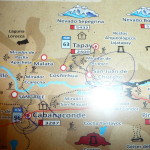
I took a photo of the back of my tourist ticket. It has a little map (not to scale) of the trek. If you click to enlarge, you can follow along.
I began the hiking at the “Mirador San Miquel”, on the near side of the river (4000 feet above it), just right of Cabanaconde. On that day, I hiked for two hours and forty minutes, crossing the river at the bottom and then arriving at San Juan de Chuccho before noon.
On this trip, I spent four nights at the Posada Gloria in San Juan de Chuccho. I did ceremonies on my first two days there, and then did a little hiking and exploring on my last two days. On one of those hikes, I went up to Tapay, which doesn’t look very far, but which is quite high up on the side of the canyon wall.
On my fifth day I hiked to Cosñirhua, Malata, and then to Sangalle where I spent the night. On the morning of the sixth day (19th), I began hiking at 4:15 a.m. and was back to the top by 8:00 a.m., ending on the trail that took me right into Cabanaconde.
Before beginning the solo hiking, however, we passed over that same majestic 16,000 foot mountain pass, had breakfast in Chivay, and went to see the Condors all over again.
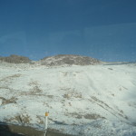
There was lots of snow along the road on this April 14, 2015 morning.
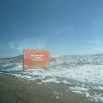
The sign at the top of the mountain pass.
I was in the same van that brought me here on the 10th of April, that that is the same Virgin Mary photo dangling from the rear view mirror.
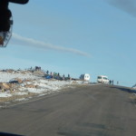
Several vans were pulled over at the top of the pass. We did not stop …
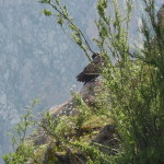
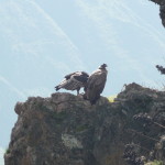
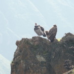
At the “Cruz del Condor” view area, the condors were not yet flying when we arrived. Several of them were nestled in on the rocks of the cliff.
A couple more of them on the rocks below the view area.
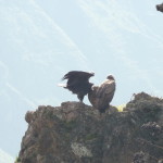
One of them was spreading his wings, toying with the idea of taking off into the currents.
Come on … you can do it :)
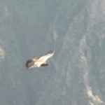
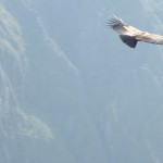
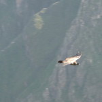
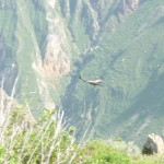
Finally, one of them takes flight. The rest soon follow.
It is hard to catch them with focus and zoom just right….
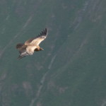
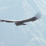
I love this photo.
And especially love this one.
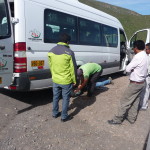
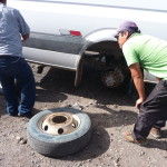
When it was time to leave, I found our van driver changing a flat tire, so I took a few photos and then went back to watch the condors a little longer.
In all of my travels in Latin America, it never ceases to amaze me how “bald” most of the tires are LOL …
More soaring condors …
This one is gorgeous.
… flying so free. I understand that these majestic birds rarely flap their wings. Instead, they ride the currents that rise from below.
Finally, the flat tire is fixed and we drive to the top of the trail. As the van comes to a complete stop, I am ready to go and just start hiking while the other travelers group up, waiting for their respective tour guides.
I was the only person around for most of my descent down that 4000 foot mountain. One young man passed me as I approached the bottom.
I did not take many photos of this hike, because I took so many on my first adventure here…
In this photo, I managed to capture the trail from Malata to Sangalle (which I will hike on my final day) (taken with strong zoom.) The trail zig zags down that hill on the right, crosses the river, and then ends at that oasis below on the left. You can see several of the swimming pools down there.
This one, with less zoom, shows the entire trail from Malata (right center) to Sangalle (lower left center).
When I hiked here the first time, I was not familiar with the area. It was fun on this hike to look down below and to know the terrain.
Finally, I was able to look down (with strong zoom), and see the town of San Juan de Chuccho, where I will sleep tonight (and three additional nights).
I did not take any more photos on this hike to the bottom. I was proud of myself. I made it to the bridge in just two hours and ten minutes. According to the guard’s log, I was the seventh person to cross the bridge today, and a many of those were actually going the other way. Only one young man passed me on the way down.
After crossing the bridge, it took me another 40 minutes to reach Posada Gloria in San Juan de Chuccho, where I checked into my room, devoured a delicious lunch, and spent most of the day resting and meditating.
On my second day in the canyon, I hiked to a remote spot along the nearby hills, and spent the day in ceremony. This is the view I had while waiting for the morning sun to rise high enough so that it would warm my particular spot.
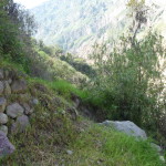
… and later, I moved to this little grassy area on the side of the hill. I hung out here all morning, meditating and enjoying the scenery, not returning until lunchtime.
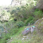
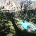
My scarf and sweatshirt on a rock, marking the spot where I spent a few hours meditating.
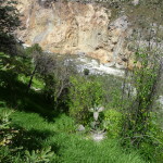
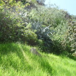
Later, I hiked a little further down a nearby trail, finding this gorgeous grassy area to meditate while feeling the river below.
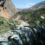
I loved the cliff across the canyon too.
More of my second meditation spot.
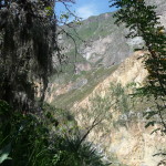
A fun view of the canyon below.
Looking at the trail on the far side of the canyon, trying to figure out how I got from the top, down to the river.
On my third day in this part of the canyon, I did another ceremony, this time hiking to a different part of the nearby canyon. I found a large, flat, grassy area with a gorgeous view … and lots of shade.
… with FULL zoom, a view of the distant river below.
Another gorgeous view from my second ceremony.
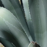
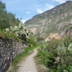
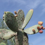
These cactus fascinate me. If you look closely, you can see that the patterns on the large leaves are not separate leaves, but are just that, magical patterns, put there by mother nature.
More nearby scenery.
This part of it on the lower part of the trail across the canyon.
Late afternoon, looking down at Posada Gloria, as the sun begins to disappear behind the nearby ridge.
With the sun getting lower, I notice that other parts of the canyon are bright and sunny, so I go for a walk.
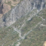
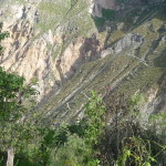
This is a better view of the trail across the canyon. I came down a series of switchbacks that hug and go behind that cliff in the upper right. Then I zig-zagged down the rest of that slippery slope to the bridge.
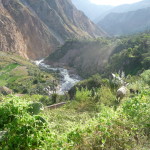
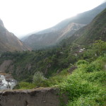
A view upstream taken from further up this side of the canyon.
Part of the trail that I was following.
More cactus with those little chichinillas (little bugs with red dye) on them.
Another view of the trail across the canyon. I was obsessed with trying to be able to see how I got down.
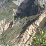
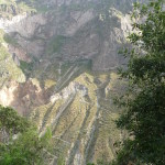
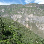
Finally, I got far enough to get a good view of this mountain from top to bottom.
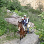
This man and his son passed by me on their mule.
Looking below as I hike back toward San Juan de Chuccho.
On my third full day in San Juan de Chuccho, I decided to begin hiking the canyon slopes above me, heading up toward the village of Tapay, which is considerably higher, way above.
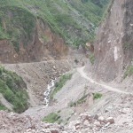
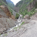
At one point in the trail, I was shocked to find the trail covered by a stream of water and loose, wet gravel. A group of men were working there, shoveling the gravel from side to side.
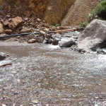
I literally had to take my shoes off and walk barefoot for several hundred feet, carefully stepping through the poking rocks. One sweet worker took my hand and held it as he helped me through the maze. He told me that they were washing gravel to build a reservoir just below the trail … and that this was their only way of getting the building materials.
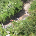
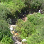
When I got further up the trail, looking back down at the workers (this photo), I could clearly see that they were bringing dirty rocks from a nearby hillside, and they had piled the rocks on the trail. Meanwhile, they had diverted an irrigation ditch onto the trail, and were using the running water to wash away the soil.
This photo shows one of the workers with his shovel, right near the area where I had to remove my shoes and walk in that freezing water.
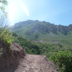
Beautiful scenery as I climb at least a thousand feet above San Juan de Chuccho.
Another view of that water-covered trail below. In this photo, you can see their yellow wheelbarrows and a couple of the workers.
Continuing up the trail. Way up on the hillside in the background, on the left, behind the near hill, is the town of Tapay.
Just a little further up this trail, it joins up with a dirt road. As I stand there to rest, a beat-up minivan drives by. I put out my hands to hitch a ride on this old deteriorating, rattling collective taxi. Ten minutes later (and five soles lighter) I am standing in the gorgeous remote village of Tapay, about half way up this side of the canyon wall.
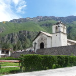
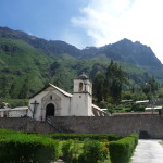
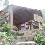
The church in Tapay.
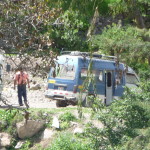
The minivan I was riding in (taken from the same spot, looking back).
Wow, from Tapay, you can see the entire trail on the other side of the canyon. It is hard to see in this thumbnail, but you can click to enlarge if you want to study it. The trail from Cabanaconde begins in the upper right and follows the upper ridge all the way to the left side of the photo.
Another view of the Tapay church.
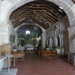
This is a very old and tiny church, and is very simple on the inside.
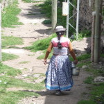
A woman walking through the streets in her traditional clothing. There are no roads in the town itself … all foot paths. The road dead-ends at the edge of town.
One of those foot paths that connects the town together, looking up at the gorgeous mountains that tower above this remote village.
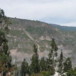
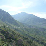
Another view looking across the canyon. You can tell from this view that we are quite high up on the opposite side.
I cannot find any little stores open in town, and there does not seem to be anything to do or see. I am very tired, and soon begin to walk back down the road.
This photo is a view of Tapay as I descend the road. I end up walking all the way to Cosñirhua on this road. These upper towns are connected by this steep, narrow, dirt road.
With strong zoom, a look down at Cosñirhua in the distance (right center).
Part of the road as I continue walking.
In the upper center is the village of Malata, from where the trail begins to descend toward Sangalle.
If you look closely, in the first gray area of the lower left foreground, you can see the switchbacks of the trail I used to climb from San Juan de Chuccho up to the road, where I then took the minivan to Tapay.
As I neared Cosñirhua, I had a beautiful view of the trail I took just a week earlier when I was here the first time. When climbing from San Juan de Chuccho to Cosñirhua, we had to climb this very steep and slippery trail from the little river below.
Today, I am following the road above, expecting to just easily hike around and above that small river canyon.
The road passes through some deep cuts as I continue around this little canyon.
I am nearing the back of this canyon, approaching the place where the road crosses the little river and then returns back to Cosñirhua on the left.
I giggle when I get close enough to realize that there is no bridge here. I am going to have to wade across this freezing water … going barefoot in rocky water for the second time today.
I can find no way to go around this obstacle, so i just go right through it. It is not very deep here, but is very cold, and very rocky.
Five minutes later, I am drying my feet, and replacing my shoes and socks.
Soon, I see a sign for the same little rest area where my tour group had stopped on April 11.
And I am here … taking a much deserved break.
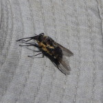
While resting, this huge bee-like fly came to play. He would not leave me alone – seeming to be attracted to something about me. First he hung out on my hat.
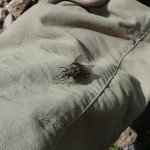
Later, as I walked down the steep trail to the little river below, he hung out on the leg of my pants.
That evening, after returning to San Juan de Chuccho, I enjoyed my fourth and final night at Posada Gloria. I knew it was time to move on.
Early on the 18th of April, I began my hike back to Cosñirhua, then to Malata, and then on toward Sangalle.
In this photo, I am on that final trail, looking back toward Malata and Cosñirhua.
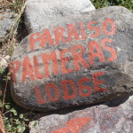
After about three hours of following the same path that I also hiked on April 11, I arrive at a rock that marks the entrance to my hotel in Sangalle … the Paraiso Palmeras Lodge.
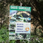
Another sign for my lodge.
After checking in and devouring a delicious lunch, I spent the afternoon swimming in the pool and then hanging out by the river.
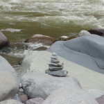
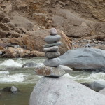
This is one of the rock towers (karins) that I built while playing.
And another one.
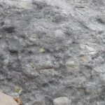
I spent a lot of time just meditating by the river, connecting with the large rocks. This one had some type of green mineral in it.
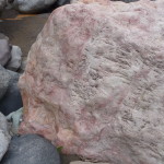
This huge boulder was like a giant rose quartz – very smoky.
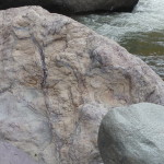
And this one had huge strips of purple rock. I sat and rested against several of these rocks, focusing on trying to feel their energy.
Early the next morning, at 4:15 a.m. on April 19, I began hiking from Sangalle to Cabanaconde, following the same trail on which I had ridden a mule just a week earlier. To my delight, I made it in only three hours and forty-five minutes …
After arriving in Cabanaconde, I discovered that a local bus was heading to Arequipa at 9:00 a.m., and soon had a bus ticket in hand.
The return journey was very slow, taking nearly six hours, finally dropping me off at the bus station in Arequipa just before 3:00 p.m. that same afternoon. I was very tired, but energized at the same time.
Touring Arequipa
After a much needed day of rest, I took a city tour on April 21, 2015, exploring Arequipa and the surrounding areas.
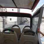
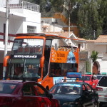
Taken from my seat in the top of my double-decker tour bus.
Driving down one of the streets in this “White City”.
Glancing back toward the center of Arequipa.
A parade on the far side of the road as we drive down one street.
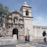
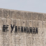
Our first stop in the neighborhood of Yanahuara. This is an old church here. I tried to go inside, but it was closed.
The sign on a nearby wall.
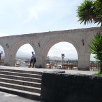
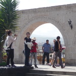
There is a lookout area here with a view of the city, and the surrounding mountains / volcanoes.
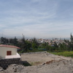
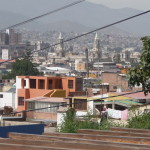
Looking back toward the town from the view area.
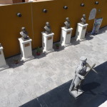
Some statues in a courtyard below the view area.
Hanging out and exploring.
Heading back to my orange bus after enjoying the brief stop.
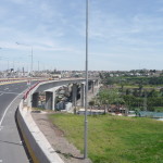
Our driver went out of his way to drive over this very long bridge (about a kilometer), only to take a u-turn roundabout and to return back the the near side. We were told that it is the longest bridge in this part of the world.
One of the beautiful volcanoes surrounding Arequipa. I believe this one is Chachani (but I could be wrong).
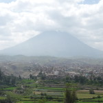
And I think this beautiful volcano is “Misti”.
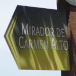
Both of the previous photos were taken at the Mirador de Carmen Alto (view area of upper Carmen).
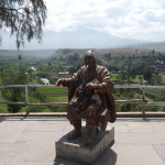
I cannot remember the significance of this statue, but it was quite interesting.
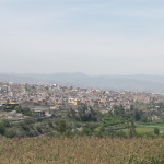
Looking back toward Arequipa from Carmen Alto.
A church as we drive through the plaza in the Carmen Alto neighborhood.
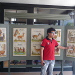
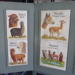
Soon, we stop at the traditional “commercial” stop on our tour. But this textile store has a fun little museum. This is our tour guide showing us the pictures of various types of llamas, alpacas, and related animals.
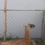
This is one of the “spitting” llamas. Our guide warned us not to get to close.
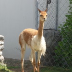
This is a Vicuña. These animals are wild, and are not raised in domestication. I saw several of them near the road as we crossed over the 16,000 foot mountain pass.
Apparently, their wool is extremely expensive, running at thousands of dollars for a small quantity.
The poster showing Vicuñas, and several types of Alpacas.
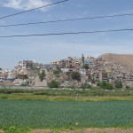
Soon, our tour took us out in the countryside. I loved the unique nature of these homes on the surrounding hills.
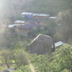
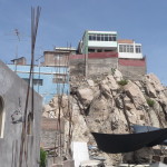
… and this one, built atop a large rock.
Later, we visited the home of the man who founded Arequipa.
The place is called “The Mansion of the Founder”.
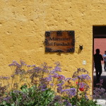
The actual entrance.
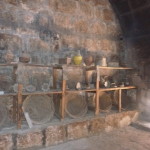
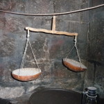
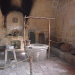
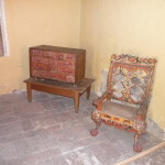
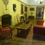
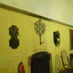
A few photos from inside.
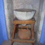
This is an ancient water filter. When the top rock is filled with water at bedtime, about a liter of water drips through the porous stone, out the tip, into the container before morning.
Our tour guide, inside a little chapel here.
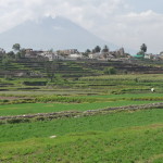
And after the tour of the mansion is complete, we drive back to Arequipa, calling it a day. This is another view of the countryside, with the Misti Volcano in the background.
This ends my time in Arequipa. Early tomorrow morning I will be taking a bus to Nazca for the next leg of my adventures. See you in m next post.
Copyright © 2015 by Brenda Larsen, All Rights Reserved
