On Wednesday morning, April 22, 2015, I boarded a luxury bus at the Arequipa “terrapuerto” bus station, with destination Nazca. Most of the buses I found were night buses, so I was excited to find out that Oltursa had a morning bus. I was eager to see the countryside in the daylight – something I did not get to do when traveling from Cusco to Arequipa.
This post is the first of two that will document the Nazca visit. Included are 112 photos documenting my journey there, and my first day of exploration. As usual, all photos include detailed story narratives.
As usual, the photos in this post are thumbnail images. Please click on any photo to enlarge it. The thumbnails leave much to be desired as far as colors and resolution – plus the thumbnails clip all of the edges. I use thumbnails for the post itself, because it gives people an opportunity to get a summary glimpse without downloading huge amounts of data for the high-res photos.
CLICK ON ANY PHOTO TO ENLARGE TO HIGH RESOLUTION
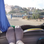
I bought my tickets two days in advance, so I was able to choose my favorite seat. I was on the second floor in the very front of the bus. Yes, those are my socks on the dashboard in front of me.
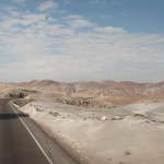
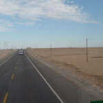
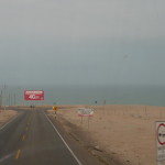
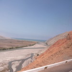
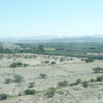
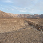
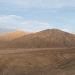
The terrain in this part of the world is very different than I expected. In fact, most all of the Pacific coast side of Peru, from the lower Andes mountains all the way to the ocean, is very dry with almost no rain.
On one of my tours in Nazca, someone told me that the area gets a grand total of about 7 hours or rain per year … yes, I said hours.
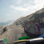
In many places, the landscapes around the road reminded me of how it might look on mars or perhaps on the moon.
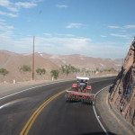
Following some farm equipment.
Looking back toward the volcanoes,Chachani and Misti, as we leave the Arequipa area.
There is also a lot of sand in this part of the world.
Just dry, hot territory.
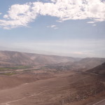
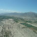
Here and there are a few farmed areas where they have access to rivers or ground water. you can see a few patches of green down there on the left.
Arequipa is a very high-altitude desert, situated at around 7,600 feet above sea level. For the first part of the 10 hour drive, we are gradually descending toward the ocean.
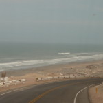
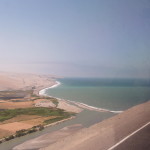
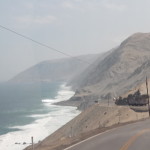
Finally, at around four or five hours into the journey, the Pacific Ocean comes into view. When we get to the intersection ahead, we will turn right, to the north.
The terrain by the ocean is quite similar – dry, and very sandy in places.
And there is lots of wind here today, blowing sand here across the road.
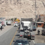
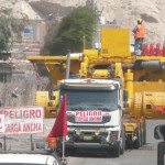
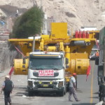
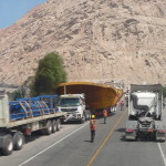
I giggled as we drove through one small town. A HUGE piece of construction equipment was blocking the road ahead. Traffic on both sides was at a standstill for nearly a half hour because no one could figure out how to proceed. The people on the ground were trying to get all of us to pull off the road so the equipment could pass through the narrow streets of the town.
Finally, someone thought of the smart thing to do … they had the wide load pull off and let the long line of cars go by. I can only assume that after that there was plenty of room for the equipment to pass.
A photo of the huge equipment that was blocking the road in a standoff with oncoming traffic.
And another view. He had room here, but just ahead, the road was narrower, and he could not pass.
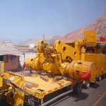
I have no idea what this actually is.
And there was another something huge behind it.
Finally moving again, with a glance at the ocean in the distance.
This was my first day seeing the ocean in almost a year and a half.
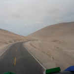
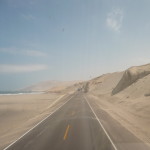
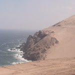
Huge rocky hills, covered in sand …
… and huge dunes on the right side of the road.
I love the ocean … but the photos are not that clear because of the blowing sand in the air, and the dirty windows on the bus.
The roads are winding and narrow, almost all one lane in each direction … we did a lot of passing.
Finally, at around 5:30 p.m., the bus dropped me off at a tiny bus station in Nazca … and minutes later, someone from the hotel picked me up. I had called the night before to make a reservation.
The next morning, before my flight over the Nazca lines, I did a little exploring.
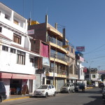
This is the exterior of my hotel (in the middle, yellowish color). I was on the middle level, with a window to the front.
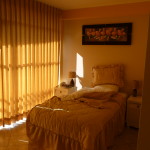
Inside my room. The window faced to the west, and the room got very hot in the afternoon.
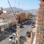
Looking from my balcony down at the street below. The main “Plaza de Armas” is a couple of blocks away, down this street.
My tour guide told me that the white mountain in the background is a sand dune – approximately 6000 feet tall – and that it is the tallest sand dune in the world. I’m not sure about the facts, but it is huge for sure.
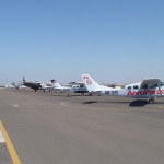
At around 10:00 a.m. I was in the small local airport, waiting for my little Cessna to take me over the Nazca Lines. A thirty minute flight costs about $80 US.
We were nearly an hour late in leaving. Finally, we were guided to the security station where we had to go through X-Ray machines and searches just like at any airport.
My plane is the second one down there.
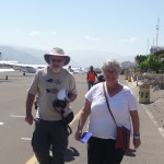
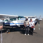
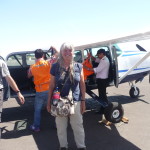
A couple of co-passengers on my plane.
… eager to board.
Taking photos before liftoff. I opted to avoid the beginning photos because I wanted to be in line to get a good seat (five passenger seats). As it turns out, they seated us by weight so that they could balance the plane. I was on the right side on the second row.
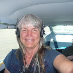
Me, inside the plane.
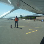
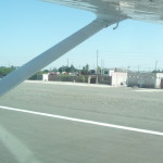
Looking out just before we begin to taxi out to the runway.
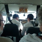
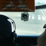
Looking forward from my seat … the pilot and co-pilot in front, two people behind them, and then me, on the right. The co-pilot had a microphone, and we all had headphones to listen to his guiding. He spoke English, but I had a hard time understanding him with all the plane’s noise.
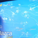
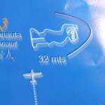
Looking at a rudimentary (not to scale) map of our general route for the 20 minutes above the Nazca lines.
If you click to enlarge the photo, you can read a little of the detail. The map contains pictures of the lines that we will see, with arrows pointing at the general order in which we will fly to see them. Both sides of the plane were just as good, because we flew over every formation twice, once banking to the right, and once banking to the left.
Preparing to take off.
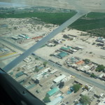
Flying over the town of Nazca as we head toward the lines.
Looking back toward Nazca (town).
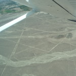
The first things we saw were many of the geometrical designs etched into the desert floor.
I had a really hard time at first, and could not find the whale formation when we flew over it. The lines are not really easy to see with a quick glance, and the contrast of lighting was not that clear … plus I was trying to handle my camera. Finally, I gave up on the camera. It seemed impossible to focus and aim correctly when all the turbulence and very short time spans to see.
A trapezoid shape below, upper middle, wider on the left end.
Another view of the trapezoid.
And another … shapes like this are all over the place.
… and another one, this one with several lines coming out of the lower tip.
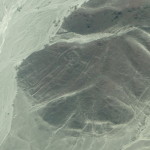
A picture of the “astronaut man” from my map. It is about 100 feet tall.
The astronaut man on the hillside below. Look on the left front face of this darker mountain. If you click to enlarge, the image will be obvious.
Another image of the same … this one is a little clearer in this thumbnail image, but you can click to enlarge and see it much better.
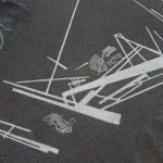
More geometric shapes below, with lots of crisscrossing lines.
The vast majority of the lines are shapes like these.
Not a very good image (as are most of these) … but in this one, you can barely see pieces of a tree image (lower part of photo), and two hands from another image at the top.
This was all I could get with the camera from the plane. I have better photos of these two images from when I visit a lookout tower tomorrow.
As our planed banked for a return flight over the tree and hands, we saw this spiral that is not on our generalized map.
The hummingbird was one of the easier ones to catch on camera … but it is still not a good image. Click to enlarge if you want to see it in the upper right quadrant.
Another of the hummingbird, now in the upper left quadrant. we went over these very quickly and had little time to focus after finding them in the light contrast.
Yet another of the hummingbird … in the upper half of the photo, with its bill pointing to the left.
In the top right quadrant (click to enlarge) is the spider formation.
Lots of lines below, but they are difficult to distinguish.
I believe this is the parrot formation, but I cannot make it out enough to tell.
We flew again over the tree and the hands formation. There is a tower down there by the road, right next to these formations. I go there tomorrow to get better photos.
Look right and down from the tower to see the hand formation … and left and down to see the tree. The roots of the tree are away from the tower (very difficult to see).
This one is much easier to see. If you click to enlarge, you can easily see the tree, with roots at the bottom of the photo.
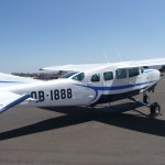
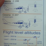
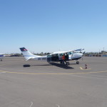
I gave up on trying to get more photos from the plane. This is a photo of the plane itself … a Cessna C 207 for 5 passengers (the one in the middle).
Landing at the airport.
Almost on the runway.
And me, back on solid ground, giggling inside … I did it.
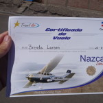
My official flight certificate.
Another look back at the plane as I return to the airport lobby to find my ride back to town.
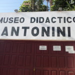
That afternoon, after a yummy lunch, I visited a nearby museum.
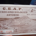
This is my ticket for the Archeological Museum Antonini.
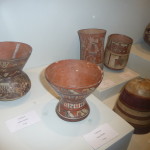
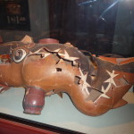
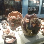
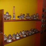
The museum contains many artifacts from the area … many of which are as much as 2000 years old.
A fragmented piece of ancient pottery, with many of the pieces glued back together.
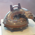
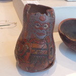
More ancient pottery from the Nazca culture (or perhaps from the Paracas culture … I didn’t pay real close attention).
And another interesting one.
These items are very old … and original.
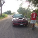
At around 4:00 p.m., the hotel’s tour-guide employee picked me up for a private tour. I was his only customer, and he took me in his old private car. I felt a little weird going by myself, but after checking in with my heart, I knew all was well and safe…
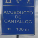
Our first stop was the Aqueducts of Cantalloc.
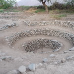
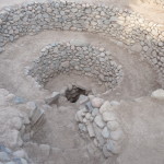
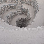
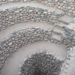
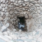
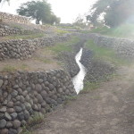
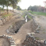
These are fascinating, built about 2000 years ago by the Nazca people. At this site there are more than twenty of these spirals dug deep into the ground, anywhere from 15 to 30 feet deep. Each ends at the bottom with access to an open aqueduct still flowing water as it did in ancient times. These are original, with most still functioning as they did when the Nazca people built them.
Looking down into one of the spirals.
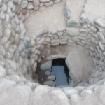
And a closer look. That is cool, fresh, drinkable spring water flowing down an underground canal in the bottom. The canal is lined with rocks, covered with the wood from a very special hardwood tree (the guide showed me one of the trees and told me its name but I cannot remember. Then the hardwood (which apparently does not rot, but is instead almost petrified) is covered with rock and earth.
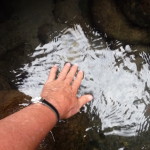
Me, right down at the bottom, preparing to touch the water. The guide told me that they built many of these so that more people would have access to the water, and that they were covered like this to keep the water from all evaporating … but you know how I feel about tour guides LOL … perhaps what he tells me is true, but I’m not sure how he knows that.
Me, touching the cool water.
My tour guide.
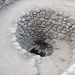
Looking down into another of the aqueducts.
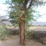
This is the special tree – the hardwood used to cover the water down above the water channel.
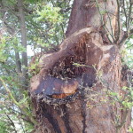
A cut trunk on this tree.
And another of the aqueducts. This one is one of the deepest ones.
Getting closer.
Looking down to the bottom of this one.
You can see the rock steps protruding from the lower wall, allowing someone to climb down there.
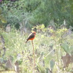
I loved this orange and black bird that I was in a nearby cactus field.
Part of the lower aqueduct area is open to the ground above. My guide says this is an area where they could bathe.
A different view of the same.
Walking back to the tour guide’s car as we finish this part of the tour.
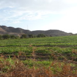
We drive by this huge field of watermelons as we head back to the highway.
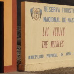
A few minutes later we arrive at “Las Agujas” or “The Needles” – a small view area of a few ordinary lines…
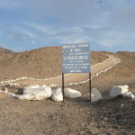
The sign at the entrance. We will walk up that trail to the top of the small hill.
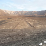
This shows how the lines are made. This whole area is made of a lighter colored sand, with darker rocks layered all over it. Many of the rocks (in the more famous Nazca Lines area) are iron-rich, and have rusted, making them a little darker in color.
To make the lines, the ancient people cleared away the rocks to the sides, leaving the whiter sand in the middle. The lines that you can see from above are actually the white sand exposed to view. These lines last forever, because there is so little rain here (7 hours per year) … so there is no erosion … and the rocks do not blow around in the winds.
Looking at the same spot as the previous photo, but taken from on top of the hill, giving a much better view of this small geometric shape.
There are more lines over there, but I cannot see them in this photo.
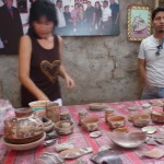
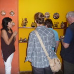
The final stop in my personal tour was this pottery shop. This woman’s father learned how to make pottery as the ancient Nazca and Paracas cultures did. She is following in her father’s footsteps, recreating many of their styles.
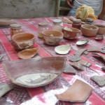
In the front are some original Nazca pottery chunks. The woman told us that some of them are 2000 years old.
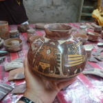
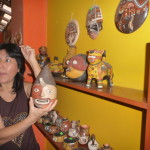
… and this is an original Nazca pot, with original painting. It is such a privilege to be able to hold it. There is an abundance of such artifacts in this area, and so little protection to keep them all safe …
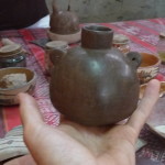
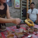
Part of a demonstration of how this woman recreates the pottery, showing us how she adds those pointy ears to the pot.
And another unpainted re-creation.
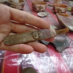
An original paintbrush used by the Nazca people to paint their pottery.
… more of the demonstration (there was another large tour group in the room too).
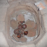
This is the homemade kiln in which the pottery is fired. She puts clay sculptures in the bottom, covers them, and then builds the fire with hot coals on top.
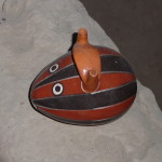
A fun little piece she made, matching the Paracas culture colors and style.
Some of the crafts that she sells here in her shop.
I tend to enjoy such things from afar. I have no space to carry any extra baggage with me.
More “showing us” the things she has made.
Later that evening, after a quick dinner, I went to an 8:00 p.m. presentation at a small planetarium that does shows about the Nazca Lines. It is located inside the grounds of the “Nazca Lines Hotel” where the German woman who made the Nazca Lines famous lived out her final years. Her name was “Maria Reiche”. My second post will talk more about her.
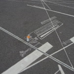
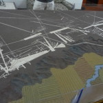
In the hotel lobby was a large relief map showing the actual layout of the lines, with the locations of all of the drawings that we saw from the plane.
The above photo is one showing the “whale” formation (bottom left) … one of the ones that I could not see from the plane.
This one shows the lookout tower, and the hands and the tree drawings that I will see more closely tomorrow.
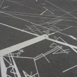
A birds-eye view of the relief map showing the massive cross-cross nature of these lines. At first glance they seem quite random, but many of them follow themes, such as pointing at places where the solstice occurs, etc…
No one knows (scientifically) for sure why these lines were built. There are many conflicting theories.
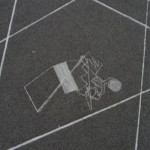
Another piece of the map, showing the spider as a tiny figure in the lower left, just below the middle of that large fat white line.
… and the monkey … another one I could not find from the plane.
I did not take any photos during the actual planetarium show. I found the presentation to be fascinating, and one of the best synopses of the Nazca Lines that I had heard (or read) anywhere.
After the show, I returned to my room and slept quite well….
This is the end of Part one of my Nazca photos. The second part will follow very soon.
Copyright © 2015 by Brenda Larsen, All Rights Reserved
