On Friday, April 24, 2015, I spent my second day in the Nazca area. I took two separate tours that day, using a local tour company that gave me more possible options of ways to play.
The first tour was a driving tour to the north, visiting several “miradores” (view areas) … and a museum. The second tour (afternoon) was a dune buggy tour, visiting another aqueduct, a beautiful ancient archeological site of the ancient Nazca people, and then playing on the dunes, including sand boarding.
This post is the second of two that document the Nazca visit. Included are 174 photos documenting my journey there, and my second day of exploration. Like I always do, I include detailed story narratives.
As usual, the photos in this post are thumbnail images. Please click on any photo to enlarge it. The thumbnails leave much to be desired as far as colors and resolution – plus the thumbnails clip all of the edges. I use thumbnails for the post itself, because it gives people an opportunity to get a summary glimpse without downloading huge amounts of data for the high-res photos.
CLICK ON ANY PHOTO TO ENLARGE TO HIGH RESOLUTION
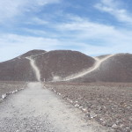
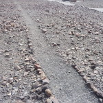
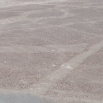
The first stop on our morning tour was this little hill. Just by looking at these paths, one can easily see how the lines were made. They simply moved the darker rocks off to the sides, leaving these much whiter sandy areas exposed.
This is an original line that leads away from the parking area.
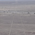
A few more of the lines as seen from the top of this small hill.
More lines as seen from this hill top.
Zooming in on these small geometric trapezoids.
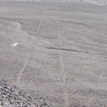
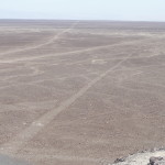
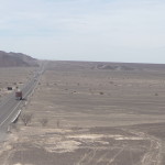
In this photo you can see how straight these lines are, and how the continue off into the far distance.
That is the highway running sideways through the middle of the photo. When they built the first road here, they were not even aware that these lines were here.
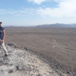
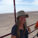
Me, standing on the hill with the lines in the background. Click on the image to enlarge if you want to actually see me.
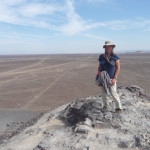
Another of me with some of the lines on the desert floor in the background.
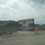
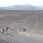
This is the sign on the road, marking the view area where I was at in the previous photos.
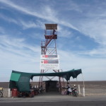
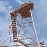
Next, we visited this tower – the same one that we saw from the plane yesterday, and on that relief map at the planetarium last night.
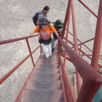
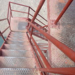
The steps were very narrow and steep.
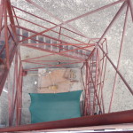
Looking down the inside of the tower.
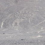
Looking out at the “hands” formation as seen from the tower. You might take note that one of the hands only has four fingers.
An interesting fact is that Maria Reiche, the German woman who studied the lines for most of her life, only had four fingers on one of her hands.
A view of the entire hands drawing, as seen from above. Click to enlarge for more details.
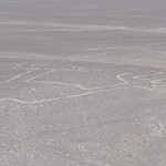
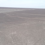
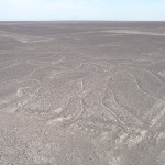
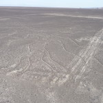
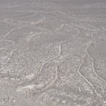
Looking at “the tree” lines on the other side of the tower. From this perspective, the tree is upside down, with the roots in the upper left quadrant of the photo and the branches spread throughout the lower half of the photo.
Same view, but with a little zoom, showing a few closer details.
You can see that there are a few Nazca Lines drawings over there on the other side of the road (up and right of the outhouse) … but I cannot tell what they are from this angle.
Another photo of the tree, with even more zoom.
Looking down the steps while standing on the top of this very tall platform.
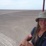
The tour guide took a few photos for me. This one is me with “the hand” drawing down there behind me.
And one with part of “the tree” visible behind me.
This one is looking up the road toward that small hill just before the horizon on the right. That is the first view area we visited this morning.
Again, the tour guide says that when they first built this highway, they did not even know that the lines were here.
A plane flying overhead, reminding me of my own flight over the lines, just yesterday morning.
Soon, we are back in the minivan, driving to our next destination.
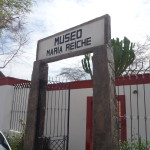
It is the “Maria Reiche Museum”. This museum surrounds the actual tiny home where this German woman lived for much of her life, while studying the lines.
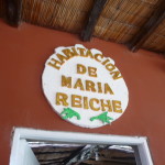
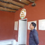
This sign marks the doorway of the little one room, adobe hut where Maria Reiche lived, out here in the hot, dry, desert.
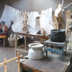
Looking through the doorway into the room. Most things in here are her actual possessions. Those things hanging on the rope in the background look like some of her drawings as she meticulously mapped out the lines, trying to figure out what they were for.
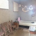
Another part of her room.
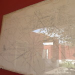
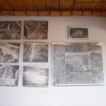
More of her drawings, hanging on the wall.
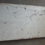
And another one behind this glass.
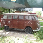
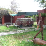
This is Maria Reiche’s actual Volkswagen bus … one of the vehicles that she used to drive around in the desert.
Our tour guide, standing in front of Maria’s little house.
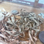
A large tangle of the measuring tape that she used as she measured and mapped out the lines.
More of her drawings and photos.
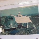
A photo of Maria out on the desert, with a little Volkswagen beetle.
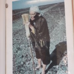
Another photo of Maria Reiche. She devoted most of her adult life to studying these lines.
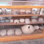
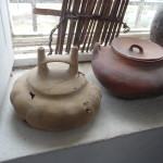
Some of the original Nazca pottery on display at this museum.
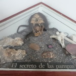
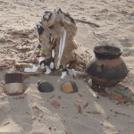
And another eerie display of bones, a mummified skull, and pottery.
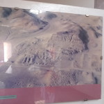
This is a photo of the ruins I will visit this afternoon (on the dune buggy tour) as seen from above, before the excavations were begun.
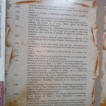
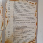
Click to enlarge if you want to read a few facts about Maria Reiche’s life (in Spanish). She was born in 1903 and first came to Peru in 1932 to work as a teacher. Two years later she got a job in Peru as a professor. She began to work in the National Museum in 1938 where she was an assistant and translator. In 1941 she traveled to Nazca, and began to investigate the lines. In 1951, she gave her first formal presentation about the lines to the “Congress of the Republic”.
A photo of details about the next part of her life. In 1966, she assumed the responsibility for preservation of the “lines and figures” of the Nazca area. Subsequently she published several books. She received many awards after that, including “honorary doctorate” from one university. In 1992 she became a Peruvian citizen, as she continued to publish her research. In 1996 and 1997, she received two more honorary doctorate degrees. In 1998, UNESCO decorated her with the “Medal of Machu Picchu”. She died in June of 1998, after which she was posthumously given several other prestigious awards.
More ancient pottery on display in the museum. This is perhaps 2000 years old, and is just sitting here for anyone to touch (which I took the opportunity to do).
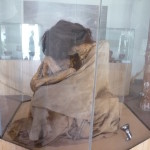
An old Nazca mummy.
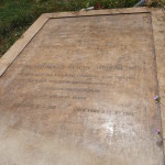
Maria Reiche’s tombstone … she is buried right here on the property where she spent most of her life.
Looking back toward her house from the area where the grave is located.
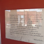
A plaque on the exterior wall of Maria Reiche’s house. It contains a quote of her’s, in Spanish. You can click to enlarge and read it. It is her words expressing her beliefs about the importance of these Nazca lines and the people who made them .
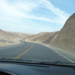
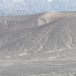
Just an interesting photo as we drive northward toward our next destination — more lines, but these are lines drawn by the Paracas culture.
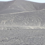
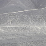
These Paracas lines are drawn on the side of hills, using much the same techniques as those used by the Nazca people. Click to enlarge for more detail.
You can see this one fairly clearly in the thumbnail image.
The second lookout tower of the day.
Looking at the drawings and figures as seen from higher up in the tower. Click to enlarge for more detail.
Another of the figures off to the side (click to enlarge).
Me, with some of the figures off to my side.
… and another, with a drawing off to my other side.
… and another, with less zoom.
Soon, the tour ended as as spent our final hour driving back to the town of Nazca.
After a quick lunch, I met up with my afternoon tour … an archeological and adventure tour, via dune buggy.
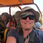
They gave us special wraparound sunglasses. I really needed them with all the blowing sand. And I had to keep the chin strap of my hat quite tight to keep it from blowing off.
Our driver was very talented at making me feel safe as he zoomed through the desert at three times the speed I would have driven.
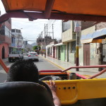
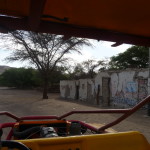
But first, we had to leave Nazca. I was sitting directly behind the driver, on the left side. I believe there were seven of us on this tour.
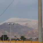
Still our our way out of town. That white mountain in the background is the huge sand-dune mountain that I referred to yesterday. At this point I am wondering if that is our destination. I later learn that it is not …
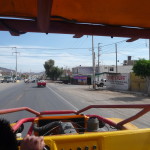
Still making our way out of town.
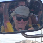
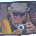
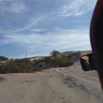
A fun photo of me in the rear view mirror.
… and this one including the camera.
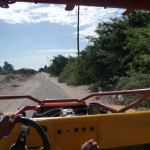
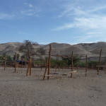
Finally we are zooming out on dirt roads, headed toward our first destination.
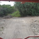
The road is quite rough, but the fat tires and good suspension of the dune buggy makes it a mostly-smooth ride.
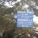
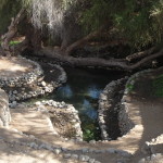
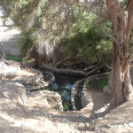
Our first stop is the archeological site of Ocongalla, where we see another beautiful aqueduct.
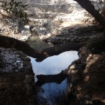
Looking down into the aqueduct from above.
… and with a little less zoom.
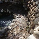
Looking at just one corner of the scene below.
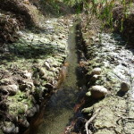
Looking at a channel of water that leaves the area.
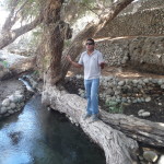
Another view in the main area … a large tree trunk lies across the water.
Our tour guide stands on that tree trunk to talk to us about this site.
Looking down at the water from a different angle.
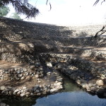
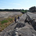
Just down from the main spring area are these terraces on both sides of the open-air aqueduct.
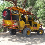
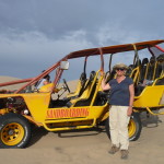
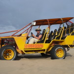
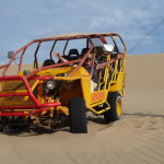
This is our dune buggy.
And soon, we are leaving the aqueduct, with about thirty minutes of crazy driving ahead of us.
… racing and winding back and forth over hills, sand, and desert.
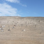
I saw this cemetery on the left and managed to get a photo as we zoomed by without stopping.
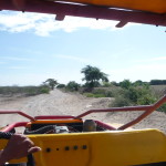
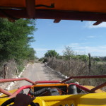
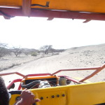
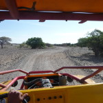
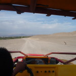
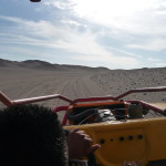
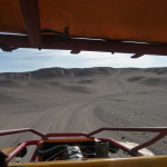
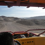
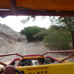
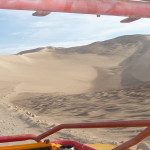
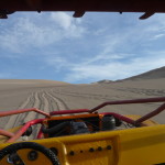
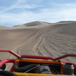
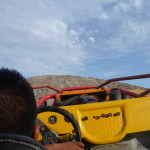
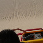
My constant view out the open-air front. I am very grateful for my wraparound sunglasses.
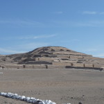
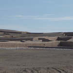
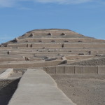
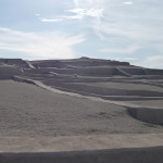
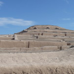
Soon, we approach the massive archeological site of Cahuachi.
I am profoundly impressed by my first glimpses.
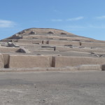
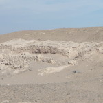
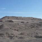
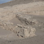
Prior to restoration, these were just rocky hills with a few old adobe walls sticking out. They have done a fabulous job of uncovering and restoring the finish on the old walls.
More of the ruins.
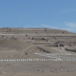
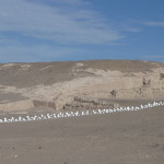
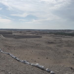
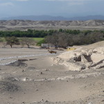
At this point, we are still in the parking lot. This is a view off to the left, looking at more of the ruins that have NOT yet been restored. You can see the un-restored walls in front. That entire hill is more of these ruins.
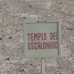
Soon, we began exploring on our own … with a time limit of when to return to the dune buggy. This is a sign at my first stop.
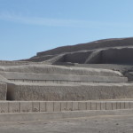
Part of the “Escalonado Temple”
More of the ruins near that sign.
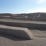
These walls are all restored by smoothing over the old walls with fresh mud and protective mixtures that withstand the elements. Remember, this area only gets about seven hours of rain per year, so rain is not one of the erosive elements here.
More of the ruins.
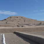
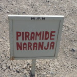
Now, we are in the area of the “Orange Pyramid” … I am not sure which structure is which, because the signs are placed in general areas, and there are structures all over the place.
… part of the “Orange Pyramid” area.
I love this photo.
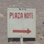
Now headed to the “North Plaza”.
I’m guessing that the plaza is the open area in front of that background structure. Our walking area is clearly marked, and the area in front is roped off…
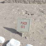
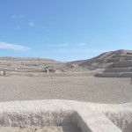
… and now on to the East Plaza.
… which I am guessing would be this area.
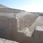
A closeup view of some of the restored walls.
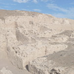
And then turning around to look at a hillside of un-restored walls.
More areas that have not yet been restored.
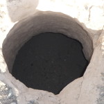
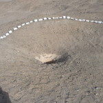
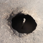
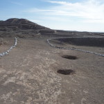
One area had several round holes in the ground, indicating that there are underground buildings here …
Looking from the same area, up at the edge of the restored structures.
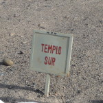
In the area of the “South Temple”.
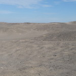
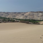
Looking out across the desert. Much of this is also old ruins, covered in sand.
I followed one trail to the upper corner of the restored section.
Looking at one of the holes in the ground.
Down into another hole.
Two of the holes in this little area. I am curious what might be below me.
Taken from the same place, looking back toward the parking lot where our dune buggy sits waiting.
More un-restored area as I walk back to the parking lot.
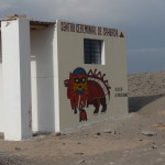
A unique piece of traditional art on the side of this building by the entrance. Our tour guide talked about its significance, but I do not remember his words. The writing above the art reads: “Ceremonial Center of Cahuachi”
Soon, we are zooming across the open desert, once again.
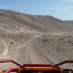
The road has many possibilities, and our driver zig zags all over the place to make those “possibilities” more interesting.
Looking at some of those evolving possibilities in the distance.
It is very hot and dry here.
Still racing through the desert. I am so grateful for the cool breeze (or should I say hurricane wind) on my face.
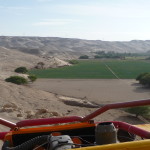
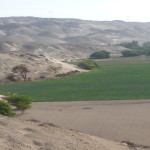
Coming into a small valley area that has water and farms.
The road is a little narrower here, and our driver slows down because of the hills.
Looking down at the farm below. I think the driver told us that these are onions.
Very soon, we stop for a brief visit at an old burial ground. This is part of an old mummy just sitting out in the desert. There is no security here … anyone can come and go, and likely many take what they want.
A fragment of very old pottery …
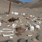
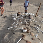
A pile of human bones just above the road.
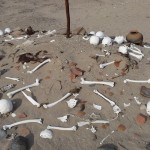
More of the bones.
Looking up the hillside … there appear to be bones everywhere.
Some of my group gathered around the bones … I apologize if these photos are too explicit for some.
Looking up the road.
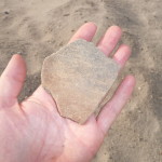
Holding another piece of very old pottery.
Soon, we are back on the road again, finally embarking on the dune-adventure part of the tour.
First, we pass through a tiny pueblo. A woman steps out of a building, and our driver tells us we can stop to buy water from her if anyone needs some. No one responds, so we just keep going.
Part of this tiny town.
Continuing forward, passing through a small valley with green trees growing. There must be groundwater here.
… it is a beautiful little valley.
… continuing on for a while.
Finally, it appears that we are approaching our sand dune destination.
… but first, a gorgeous old tree.
… and even more driving.
We are headed up to the area in the distance where you can barely see that power line tower in the left center.
Closer and closer.
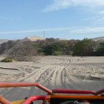
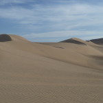
Coming up to the raw, open sand.
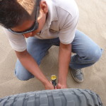
We soon pause to adjust the air pressure in the tires.
Looking around while we are stopped.
Looking down below me as the driver releases air from the left front tire. I remember doing this with my jeep when driving around the trails in Moab Utah … the lower air pressure gives the tires more traction when off roading.
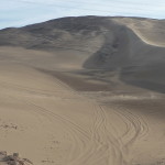
And now, we are off to the races in this very soft sand. Right here it is quite steep. You cannot tell that from the camera’s perspective.
Continuing to climb. We kept going up and up for about ten minutes.
The driver gave us several rushes of adrenaline as he crested very steep hilltops and then raced blindly down the other steep side.
We stop briefly atop this rocky area before beginning our adrenaline adventures.
Zooming around in the afternoon sun.
It was hard to focus as we zoomed down steep hillsides. Right here, we are cresting a hill top and diving over the other side.
It feels as if we are going straight down as I snap this photo while clinging to the roll bar with my left hand. We were also very securely strapped in with shoulder straps and seat belts.
More of the massive dune.
Eventually, we stop, get out, and retrieve the sand boards from the back of the dune buggy.
It is gorgeous here, with the sun less than a couple of hours from setting.
Some of the untouched scenery.
Me, with the dune buggy.
… and then, the driver told me to climb inside.
… having a very fun time (me with my arms in the air, behind the wheel).
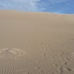
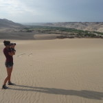
Looking down the hill where we go sand boarding. It is actually quite steep here. The photo simply cannot capture the perspective of height and slope relative to the surrounding area.
First, we all took a turn at going down on our bellies, head first. Then, after hiking back up, we went down while sitting down, feet first.
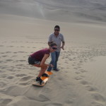
Finally, the tour guide showed us how to do it standing up. Here, he coaches the first young woman as she prepares to go for it.
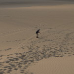
I asked someone to hold my camera and get a few photos of me doing the same. This is the first photo that my friend took.
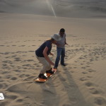
And the second one, with me already part of the way down the hill.
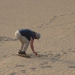
And another, a few seconds later. The sand was dragging and I was not sliding very fast. It was difficult to maintain my balance, but I did it. This is my first time ever as a sand boarder. I have used a water board behind a ski boat — but was never very good at it.
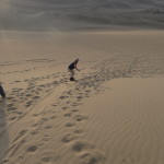
Finally, my board stops moving, and I begin to lose balance. My photographer friend did a good job using the zoom to capture my adventure.
And then, I had to hike back up. After this “standing up” run, I made several more runs down the hill on my belly, face first. I held the record for distance, continually beating the others’ records.
It was a lot of fun, and I would have done it again and again were it not for the fact that I had to climb back up the hill on foot, trudging through loose sand, after every time that I went to the bottom.
We went off the top of that hill (upper right) when doing it on our belly and when sitting down. We started on a more gentle slope for the standing up version.
Another view looking down.
As the sun began to set, we all climbed back into the dune buggy. Our driver soon took off to the races again, and then climbed up to the top of a nearby hill where we could watch the sunset yet again.
Beginning that final run.
… and climbing up the hill to watch the sunset.
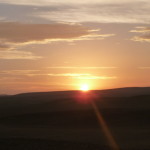
… and a gorgeous sunset it was.
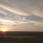
With less zoom … a magical skyline.
Looking east … still plenty of light.
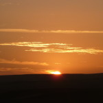
Good night beautiful sun.
It was a magical vista.
Constantly shifting and changing, as sunsets seem to do.
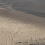
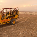
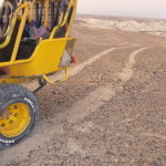
Our dune buggy in the last light of the day. You can see how white the tracks are behind it. This is literally the same principle used to create the Nazca lines. The jeep tires moved the black rocks, leaving the white sand exposed. (This was a rocky area where we watched the sunset.)
Another view of the “Jeep Lines” … perhaps one day, a thousand years from now, archeologists will be studying these lines, wondering who made them, and why …
Final glimpses of the darkening sky.
I love the clouds and lighting effects.
A few minutes later, we all climbed back into the dune buggy and began our hour-long journey back to Nazca, racing and swerving down a narrow dirt road back toward the highway, all in the darkness of night.
After gobbling down dinner, and enjoying a good night of sleep, I will board another bus in the morning … heading off toward the town of Paracas, a beach town near some natural preserves.
Copyright © 2015 by Brenda Larsen, All Rights Reserved
