Early on Tuesday, June 23, 2015, I said goodbye to my cozy little hostel (in Cuenca Ecuador) and stepped into a taxi that would take me to the bus terminal. As I boarded a bus destined for Quito, I reflected on the nervous butterflies in my stomach. This part of traveling always tends to bring up small flashes of “what-ifs”.
For you see, my real destination was not Quito itself. I hoped to go to the town of “Baños”, and was told that the only “public transportation” way of getting there was to take a bus toward Quito, and to then get off several hours early in the town of Ambato, where I would have to stand at the side of the road with all my luggage. Theoretically, if I was in the right spot, I could then find a different bus that would take me the rest of the way.
I giggled when, about six or seven hours later, my driver stopped on one side of a very busy four-lane road (in the outskirts of Ambato), told me to “baja aqui (get off here)”, and pointed to a waiting bus on the other side of the highway that would take me the rest of the way. The biggest obstacle was dragging my luggage across the active traffic before the other bus decided to continue on its way.
Less than two hours later I was checked in at a large-and-new family-owned hostel just a block from the bus station in Baños. I had no idea of the “adventures” that awaited me.
This post contains the first portion of 169 photos telling the story of my almost-three weeks in that small mountain town.
For whatever reason, my blog software would not let me get them all into a single post (as I have done many times before). Therefore, I am breaking this into two parts.
As usual, the photos in this post are thumbnail images. Please click on any photo to enlarge it. The thumbnails leave much to be desired as far as colors and resolution – plus the thumbnails clip all of the edges. I use thumbnails for the post itself, because it gives people an opportunity to get a summary glimpse without downloading huge amounts of data for the high-res photos.
CLICK ON ANY PHOTO TO ENLARGE TO HIGH RESOLUTION
The Journey There
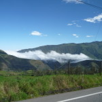
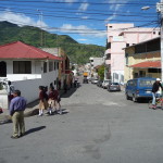
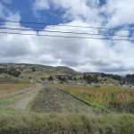
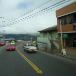
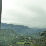
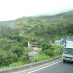
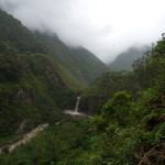
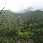
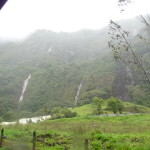
These first six photos document portions of the scenery along the way, between Cuenca and Baños.
My starting point of Cuenca was already at 8400 feet (2500 meters) above sea level. For most of the long bus ride, we swerved back and forth along upper steep slopes of the Andes mountains. Our general destination was to the north, but we were often going east and/or west as we zigzagged here and there around those rugged mountains.
In this photo, we are in a small valley between the mountains.
A glimpse of a small town somewhere along the way.
Some high-altitude fields near the small town. You cannot tell in the photos, but the winds were blowing very strongly all day long.
I really didn’t keep track of “where” I took these photos. This is another portion of a small town along the way.
My bus is high up on a mountain side, looking down into another populated valley to the left.
I think we are only about an hour away from Ambato at this point.
Another scene along the main highway.
Yippee – I Made it
At around 3:30 p.m. (after leaving Cuenca in the early morning), my driver dropped me off in the outskirts of Ambato where I managed to get across the street to a bus that was waiting for more passengers. Shortly after I boarded, the new bus began our final hour-long journey toward the eastern slopes of the Andes mountains.
At just after 5:00 p.m., I left my newly-found hostel in search of food and “orientation”. I was famished and had done absolutely no advance research on the area.
The town of Baños (officially Baños de Agua Santa or Baths of Holy Water) is in the central part of Ecuador, on the eastern side of the Andes mountains, resting at an altitude of 5971 feet or 1820 meters above sea level. It is a popular tourist destination situated in the northern foothills of the Tungurahua volcano – a volcano that I never saw because of almost continuous rain and cloud cover during my time there. The town caters to tourists with a bustle of options, including river rafting, mountain biking, volcano hiking, zip-lining, paragliding, water falls, and jungle tours, among many other options.
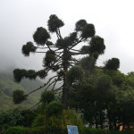
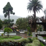
As I explored the little town, searching out dinner options, I saw this towering tree. You can see that the skies are very cloudy.
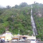
A few minutes later, I finally found the hot springs for which the town is named. I love the beautiful waterfall cascading down the mountain just behind. Later, in the third week of my visit, I finally went swimming inside this place (I didn’t take photos). Suffice it to say, I was doing emotional processing at the time, and my experience there did not leave me inspired to make return visits. (I know I was projecting LOL.)
Exploring Baños
Early the next morning, I set out to further explore my options. I came with no preconceived idea of what I would do here, nor how long I might stay.
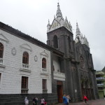
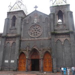
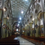
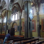
After arranging to take a late-morning waterfall tour, I used my spare morning time to explore this old church, situated in one of the two main town plazas.
The entrance.
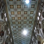
It is quite beautiful inside.
A side view.
And a look at the ceiling.
Adjacent to the church was this museum “Fray Enrique Mideros”.
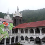
The museum was surrounding a huge inner courtyard. This photo is looking back toward the spires of the church.
In fact, the courtyard wall is shared with the church.
From the top of the museum, looking down at the little plaza below (in front of the church).
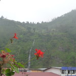
A few gorgeous flowers while looking toward the water fall and hot springs in the distance.
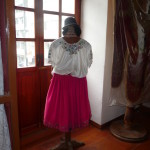
A tiny sampling of the museum. This is a traditional dress from the area.
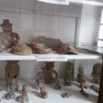
Some ancient pottery from around the region.
More from the “La Tolita” culture.
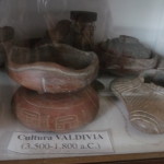
This pottery from the “Valdivia” culture is dated as originating between 3500 and 1800 BC.
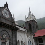
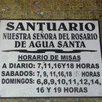
A sign on the church, indicating it is the “Sanctuary” of “Our Lady of the Rosary of Holy Water”
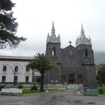
A photo of the church as seen from the city plaza.
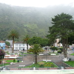
Memory tells me that this is a photo of the other city plaza, just a few blocks away from the one with the church. I spent many hours hanging out here during my last week in this town (but only during the few rare glimpses of sunlight).
Waterfalls Tour
At about 10:00 a.m., I met up with a small tour agent who escorted me to my transportation for the waterfalls tour. On a clear sunny day, this might be a beautiful experience. On this day, I almost cancelled because of the breezy winds, strong drizzle, and low clouds. But I went anyway, knowing that I could always do the tour again on a sunny day if I was still here. (Such a day never came.)
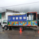
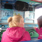
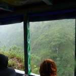
This is our transportation for the next few hours. When I first arrived, it was completely open-air, and very wet inside. I watched them put down the blue tarp on the near side (but it was still very wet inside).
I sat on the left, by the tarp (no tarp on right side), about half way back. I had water dripping onto me for much of the day.
But I was having fun anyway. It was an adventure. I am wearing my little day-pack in front so that I can keep it dry.
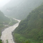
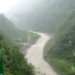
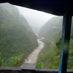
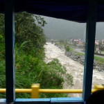
After driving around while picking up additional passengers, we finally went out into the rainy canyon. The river is raging below with very high runoff.
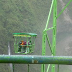
At this view stop (one of many views of many waterfalls), we had the option of riding this tram across the river. I would love to have done this in dry weather, but decided I was not interested in getting sopping wet just yet.
It looked very beautiful and fun, but I was one of the ones who remained behind trying to stay somewhat warm and dry.
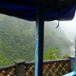
Looking down the river from a different vantage point. We were driving along a very narrow highway up here on the side of the canyon. Many waterfalls were above us on the left, but alas I could not see them because of the non-see-through tarp and rain conditions.
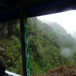
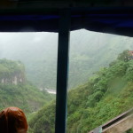
We had a brief clearing (under an overhanging cliff) where I could get a cloudy view of the scenery on the right.
Looking out the open side at the valley below. You can actually see huge vertical streaks of rain in this photo … kind of a time-delay effect (you may have to click to enlarge to see the streaks).
I have never taken a “raining” photo that had such streaks in the foreground.
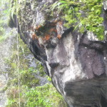
At another overhanging cliff area, we stopped and got out to see this rock that is famous as “looking like a face”. You can kind of see it in this photo. The chin is the lowest overhanging part. The nose protrudes just above that on the left …
Another photo in the same area, looking back toward that face. It is raining hard here.
A frontal view of the face. You can kind-of see it here.
This gives a good feel for the narrow road on the side of a steep mountain.
Another look into the rainy valley below.
I had actually wanted to ride a bicycle down this road (they rent them all over town) … but due to the rain, I opted for this somewhat dryer option.
Another view looking back to the upper valley behind us.
In this photo, I got closer to the open window for a better upper valley view.
Another so-so view.
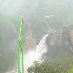
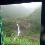
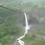
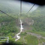
This is the view of a waterfall across the valley (to which a zip line runs).
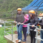
In this photo, I am standing under a covered platform, enjoying the view of that huge waterfall across the valley. Many in my group are gearing up to take this zip line across the river to that waterfall.
Again, I would love to go over there, but am deciding to try to stay somewhat dry. I am not equipped with waterproof clothing or shoes.
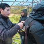
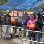
Hooking up someone’s straps.
These two are getting ready to go.
The main reason I decided not to go in the rain is that I hoped to come back on a dry day and do the tour all over again (It was less than $10). That dry day never happened.
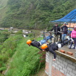
These two are now hanging up on their bellies, with one rope holding up their chest, and one rope supporting their legs … getting ready for the launch.
And they are off …
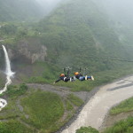
… flying over the river below … toward the waterfall on the far left.
Zooming in on the landing platform far across the valley. You can barely see their orange helmets in the exact center.
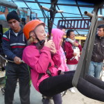
Another brave member of my tour group. She is going to go in a sitting up position.
And the next two are off … zooming toward that waterfall.
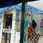
This is the zip line platform. They call it “Canopy” here … and they don’t mean a canopy walk above the trees … they mean a zip line ride.
Later, we drive down closer the the raging river below. The rains have been intense here for a while, and the water is rough and dirty.
A view of a distant waterfall. This one is famous, and has a trail down to the bottom. I really wanted to go there, but this tour only sees it from a distance.
After this tour finished, I arranged for a private taxi to take me back there at 4:00 p.m. (and for the driver to even hike down with me) … but the road was blocked with mudslides from the heavy rains, and we couldn’t get anywhere close to it.
At the end of our tour, (furthest away down the valley), we stopped for a hike to a different waterfall. I was tired of just watching others … and by now my shoes were already getting wet … so I decided to go for it, while many of my tour-mates stayed behind.
We were on a very tight schedule so I had to move very quickly down the steep, wet, slippery path … and then ascend just as quickly.
This is the waterfall at the bottom of the path. I only had time to spend a few minutes here.
Another view of this waterfall.
By now, my shoes and clothes are dripping wet, and I begin to wish that I had just done the other zip line things.
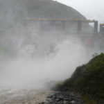
As we drive back toward the town, we pass by this dam. On the way down the valley, it was on our left and I could not see it. This time it is on the open-air right side of the transport. The water is raging and splashing very high.
This photo was taken on my private taxi tour at about 4:49 p.m. – later that same day. After having been blocked by a mudslide, I ask my driver to take me up to the view areas above Baños instead. This is a waterfall in a canyon behind and above the town.
I was disappointed, because I had rubber boots and a thin raincoat, and was really wanting to hike down that huge waterfall mentioned in a previous photo.
Another view as we make our way up this back canyon. We had a short period with less rain (but lots of wind).
More scenery as we drive up behind the town.
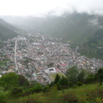
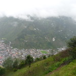
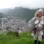
Finally, we arrive at the view area, overlooking the town of Baños. It is a beautiful little tourist town (but very rainy right now).
A different view looking more to the right.
And one looking to the left. There is another tourist spot up on that higher peak. They have a tree house and a huge swing where you can swing out beyond a cliff … and above that is the huge volcano – the same one I never saw because the clouds never parted.
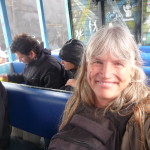
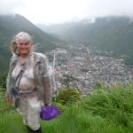
Me, with my wind-blown and very tangled hair. You can see that my clear plastic cover is also blowing tightly against me from the strong winds blowing into my face.
I had to be careful not to fall backwards.
Another similar photo, with strong blowing winds … but a little visibility of the valley below.
Zooming in on that ridge above to the left. Somewhere up there is that tree house I was talking about.
Part One Wrap-Up
This ends the first part of this photo post. For whatever reason, my blog software would not allow me to fit this all in one larger post.
I will continue my post in Part 2 artikelkälla.
Copyright © 2015 by Brenda Larsen, All Rights Reserved
