On Saturday, April 25, 2015, I get up early and take a taxi to the bus station. It is going to be another full day … with the bus ride today only lasting a few hours. I will be traveling from Nazca, slightly to the north, and back west to the Pacific Coast. My destination is Paracas.
The first part of this post documents my bus journey. Next, I share my experiences of the first day, then the second. Finally, I end this blog with a few photos from Lima, which was my destination after Paracas.
This post includes 174 photos in total. As always, I include detailed story narratives describing the adventures.
As usual, the photos in this post are thumbnail images. Please click on any photo to enlarge it. The thumbnails leave much to be desired as far as colors and resolution – plus the thumbnails clip all of the edges. I use thumbnails for the post itself, because it gives people an opportunity to get a summary glimpse without downloading huge amounts of data for the high-res photos.
CLICK ON ANY PHOTO TO ENLARGE TO HIGH RESOLUTION
I bought my bus tickets at the same travel agency that sold me my dune buggy tour yesterday … riding on another luxury bus from Oltursa. I was happy to again be able to choose a seat on the very front row of the upper deck.
In this photo, we are driving through Nazca.
A huge sand dune near the town of Ica.
The area of Ica is known for its vineyards. This photo shows one of thousands of those vineyards (on the left). Sorry about the quality of these photos … the bus windows were quite dirty.
More vineyards. They build some kind of trellis to support the vines.
… zooming in on the same field.
The nicer buses here in Peru almost always show movies. I was lucky that the movies were good ones …
This area is still very dry, but apparently has access to some water to keep the vineyards growing.
Driving through the town of Ica. I thought about spending a day or two here, but just didn’t feel it in my heart.
Nearing the turnoff to Paracas.
And finally, driving into this little beach town.
I quickly called a hostel and made a reservation, asking how to get there. Their directions were very confusing, even though I soon discovered I was only a block and a half away. Finally, I was checked in at just a few minutes before 10:00 a.m. …
When I asked about tours to the “Islas Ballestas” … I was told that they had one leaving right now. I giggled and said yes. I ran back to my room to gather a few things, scurried down to the lobby, and five minutes later I was being escorted to the dock to join a larger group …
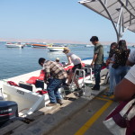
Our boat was waiting for us, but for an unknown reason (to me) there was a long delay …
A different boat loaded up while we continued to wait.
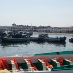
Looking back toward the town of Paracas (and the beach) … as seen from the boat dock.
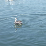
A pelican enjoying himself.
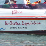
Another boat leaving while we still wait. I read in the tour book that the two Ballestas Islands are compared by some as being the Peruvian equivalent of The Gallapagos Islands. I don’t know about that, but am eager for the boat ride.
Finally, it is our turn to board. I had asked the woman in charge if one side was better than the other. She reassured me firmly that both sides were just as good. I found a spot near the front, on the right side. I should have paid attention to the fact that most people were jostling for a seat on the left.
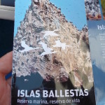
A brochure about where we are going. It reads “Ballestas Islands … Marine Reserve … Reserve of Life.”
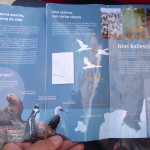
The inside of the brochure. I didn’t even notice that there is a photo of a Humbolt Penguin …
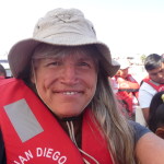
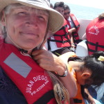
Me, in the boat, ready to go…
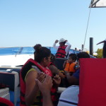
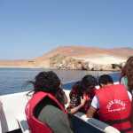
Looking from my seat toward the front.
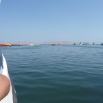
Pulling away from the town, heading out into the open ocean.
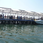
And looking back to the dock (with zoom) as we say goodbye.
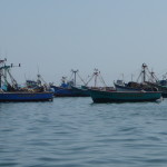
Some fishing boats anchored a little further out.
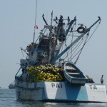
Another, with its huge net stacked up left of that small boat.
Looking back through the boat’s wake.
This young girl sat next to me.
Paracas is situated next to a large peninsula that sticks way out into the ocean. It is also a national reserve. I will go there tomorrow.
For the first part of our journey, we follow along this peninsula.
Lots of birds over there on the shore (with full zoom).
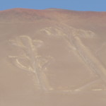
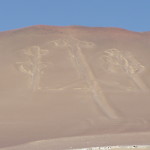
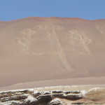
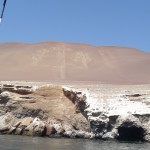
Our first stop (out in the water) was to get a beautiful view of this ancient drawing on this sand-covered hill. The huge figure was created here by the Paracas culture.
A better photo, containing the entire image.
Zooming out a little further, with part of the shoreline cliffs in the foreground.
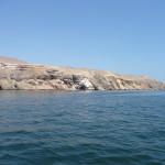
Part of the shoreline near the Paracas image.
And another photo with very little zoom.
Birds along the cliffs above.
Finally, we took off at full speed in this large speed boat. We had a half hour of open water in front of us.
During the long bumpy journey, with strong winds, one of the tour guides brings people up to the front of the boat to take their photos (with their cameras). I opted out of this one.
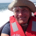
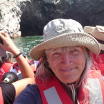
… and instead took my own photo. I am squinting because the wind is strong and the sun is bright.
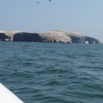
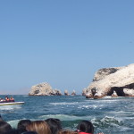
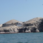
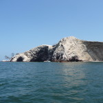
The first Ballestas Island in the left center.
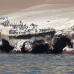
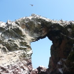
Getting closer. There are lots of arches in the rocks along this shoreline.
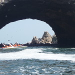
Driving by one of the arches. (We did not go through it.)
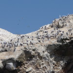
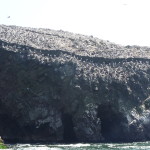
It seems that every inch of this island is covered by birds and bird guano. Collecting the bird guano and selling it as fertilizer used to be a large industry here … and a major Peruvian export.
More birds.
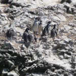
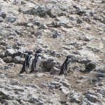
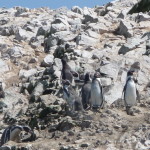
I was quite surprised to see these penguins. This photo was taken with a strong zoom.
More penguins.
And some more.
I soon began to notice that the captain was driving around the island in a counter-clockwise motion, giving the left side of the boat the best camera opportunities. But I still managed to get some fun photos.
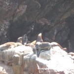
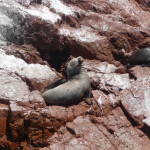
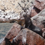
There are also hundreds (if not thousands) of sea lions and seals out here.
Another one of me …
More of the shoreline on the other side.
Lots and lots of pelicans.
… and a variety of all kinds of birds.
Another penguin, bending down to his lower left side … with another one in the bottom center of the photo.
Remains of the old “guano collection” operations. Now, it appears that these structures are just used by the birds.
Looking across at the second island, where there are remains of the old mining operation here.
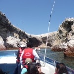
Going through a small channel where I got a few nice views on the right side of the boat.
The rock formations here were gorgeous … but very dry and monochrome in color. There is literally no plant life growing here (or so it appears to my eyes).
More of the countless sea lions.
These sea lions seemed to be intentionally posing for the tourists.
Soon, we cross to pass near the other island. Again, we cruise counter clockwise…
Thousands and thousands of birds.
And a beach filled to overflowing with sea lions.
Leaving the second island in the background.
… and heading back toward Paracas, again following the shores of that huge peninsula.
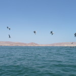
A flock of birds out in the open water.
You can barely see that Paracas figure on the mountain as we again pass by, this time from a considerable distance.
Me, again squinting in the sun, having a good time.
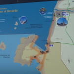
A look at a map that I found. The town of Paracas is near the bottom of that vertical shoreline, just above the neck of land that leads out into the peninsula. I will be visiting the National Reserve on that peninsula tomorrow. The Paracas candelabra figure is somewhere along the shoreline of that peninsula.
The Ballestas Islands are those two lighter blobs out in the upper left quadrant of this photo.
(Click to enlarge if you want to see more detail.)
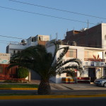
That is my hostel, just right of the palm tree. I am in a room at the back, on the first floor.
Later that evening, I ate dinner at a small restaurant along the shoreline. This is the view from my table, with all the fishing boats out there, and the peninsula in the background.
The front side of my restaurant. I loved the “Lomo Saltado” … pieces of beef sauteed with onions, peppers, and some type of teriyaki sauce.
Enjoying the sunset on the beach before returning to my hostel.
And also enjoying sticking my feet into the ocean water for the first time in a year and a half.
… the last photo before retiring to my room. I have a busy day tomorrow.
On the morning of April 26, 2015, in the tour minivan, heading out to the National Reserve on the peninsula. I have no idea what to expect.
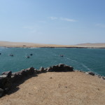
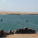
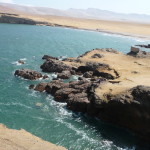
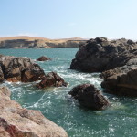
It turns out that it is more dry, sandy area, with lots of gorgeous waterfront.
Our first stop is the visitor’s center. I am not at all impressed with our tour guide. He does not speak English, but pretends that he does. He first speaks to the half of our tour that speaks Spanish, and does so with slurred and very rapid speech. I understand very little.
Then, I can only giggle when he dismisses the Spanish speakers and begins speaking to the English speakers. Rather than speaking English, however, he proceeds to speak Spanish, but doing so very slowly, very loudly, using a simpler vocabulary.
I can only giggle, because this is what many westerners do when speaking to those who only speak Spanish … speaking English very slowly and more loudly … as if that will help.
I ended up having to translate for a few people, and was not excited to have that task.
For the rest of the tour, I mostly just avoided the tour guide and did my own thing.
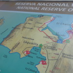
Another map of the peninsula. We will be visiting that circular loop of dotted lines in the bottom half of the photo.
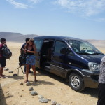
Our minivan, and a few of my group.
We are hiking up to the view area of “The Cathedral”.
But first, I take a few random photos. This is a small island out in the distance.
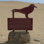
And a sign along the shore.
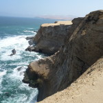
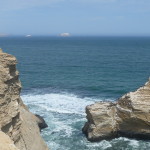
Looking down the cliffs at the rugged shoreline below.
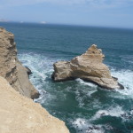
This formation below is “The Cathedral”. It used to be a full arch from that little island on the right, going over to the shoreline. An earthquake caused the arch to collapse.
Looking straight down at the water below.
Another look at “The Cathedral”. If you click to enlarge, you can see a unique row of birds on the very top of the part to the right, lining the entire ridge.
From a nearby view area, looking up a different part of the shoreline.
The first view area, where I took the photos of “The Cathedral”.
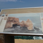
A photo of how “The Cathedral” used to look before the earthquake destroyed the arch.
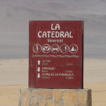
A sign marking the area.
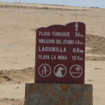
And another one, indicating where we are going.
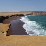
After a twenty or thirty minute drive across the peninsula, we end up at “Red Beach” … or “Playa Roja”.
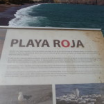
The sign for “Playa Roja”.
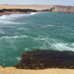
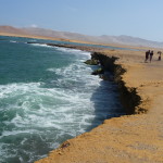
The surf is strong here.
As usual, I ditched the tour guide and went for a solo walk.
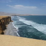
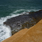
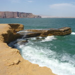
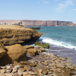
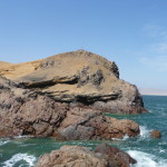
The cliff here is quite unstable. There were warning signs to stay about 20 feet away from the shore. I didn’t see them and was closer. The cliffs are undercut by the waves, and often collapse into the surf below. The “red sand” on the beach comes from the red rocks all over this shoreline.
Standing close to the edge, looking to the left.
A piece of the cliff, starting to fall into the eroding, crashing surf….
I walked over to an area where I could get down onto the beach itself.
Looking back at the overhanging cliffs.
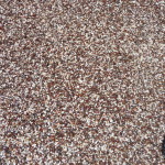
A photo of the red sand.
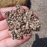
Holding a little of the sand in my fingers.
Next, we drive another twenty minutes and end up at this little beach resort. I did not know the agenda of the tour before hand … I am surprised when our guide tells us we will be here for like an hour and twenty minutes … and we can eat lunch here if we want …. I didn’t want to spend my time out here in a restaurant, so I went exploring.
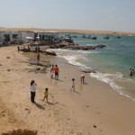
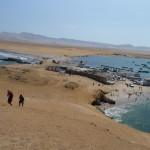
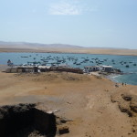
This is the beach area. That building in the background (upper left) is the restaurant where they wanted us to spend our money.
I hiked up on a nearby hill. It was extremely windy on top. I found a little rock wall that blocked the wind, and I sat down behind the wall to meditate with the gorgeous view.
Looking back toward “Playa Roja” (Red Beach) … using my zoom.
Looking down toward the beach here, and the restaurant area beyond the beach.
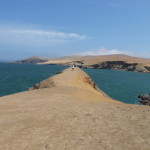
Walking along the top of this nearby hill.
Looking down at the shore below the hill.
Looking back at the restaurants and boats in the distance.
Another glance in the direction of “Playa Roja”
Distant cliffs.
Me … in my meditation spot.
I had to secure that chin strap very tightly. It was very windy here.
A beautiful bird soaring in the updraft to my left.
The little wall that gave me wind shelter while I meditated.
Churning waters below.
It was beautiful here … in a desert, sandy setting.
Eventually I wandered back to the beach. I didn’t want to fall asleep and miss my ride.
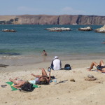
Some of my group are out there enjoying the sun.
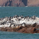
I noticed some nearby rocks where the birds seemed to segregate themselves. This rock was covered by these birds that almost look like penguins.
And this rock was covered in pelicans.
It seems I am manifesting lots of flat tires on my journey. When it was time to leave, our minivan had a full-on flat at the left rear.
A crew of local man came to help change it.
Back on the road again … a sign marking the “Reserva National de Paracas” … or National Reserve of Paracas.
This ends my photos in Paracas. Later that afternoon, I enjoyed another beach-side meal and sunset in the sand.
A Visit To Lima
Early the next morning I took a bus destined for Lima. I really didn’t want to spend more time in Lima … but I had errands to run there. It seems that my passport visa pages were all full … and I had no room for more stamps at border crossings. I would not be able to travel very far without first going to the embassy to have more pages added.
So I timed my arrival with an all day Monday bus ride, a Tuesday morning appointment at the embassy, and an extra free day on Wednesday just in case…
As it turns out, I was able to drop my passport off at the embassy on Tuesday morning, and then pick it up later that afternoon. I had a comedy filled experience with the security people (local Peruvians) during both visits. They would not allow cell phones or any electronic devices, or any bags more than six-inches square … blah blah blah … I ended up having to hide my possessions several times, praying they would still be there when I went back to retrieve them. All was well.
These next photos are from my extra day in Lima, Wednesday, April 29, 2015.
The woman at my hostel suggested that I visit all of the churches in the historic area. I decided to do just that.
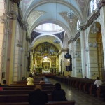
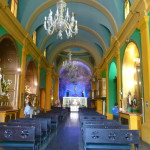
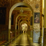
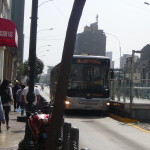
This is taken inside one of the churches … the one that was nearest to my bus stop. I got creative and courageous this morning, and easily located the same “Metropolitano” bus that took me from the Miraflores area to the historic downtown area. It is kind of like a subway, but on wheels.
Inside the church.
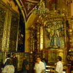
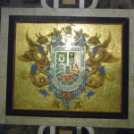
… still in the same church.
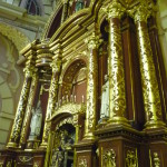
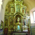
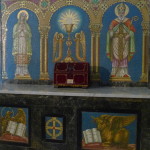
… and another.
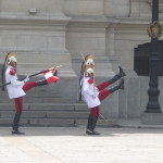
Soon, I walked by the national palace (also on the Plaza de Armas) and took a few photos of the guards doing their high-stepping march. I included a variety of such photos in a blog documenting my first visit to Lima, back in December, 2013.
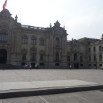
The national palace with the guards high-stepping in front.
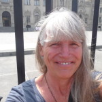
Me, in front of the bars that guard the palace (background).
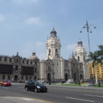
Looking back at the cathedral (right side).
Another nearby church. There are seven such churches on the tourist map. I went to five of them today. The other two are ones that I visited on my first trip to Lima.
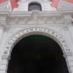
This is the Basilica of Santa Cruz.
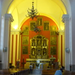
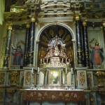
Inside the Basilica of Santa Cruz.
As I walked from church to church, I was only five or six blocks away from the Plaza de Armas, but there was one area that looked really “questionable” as far as my safety. I did a little processing-with-a-smile here regarding my being robbed during my first visit … but my heart kept telling me I was fine here, so I continued.
These old buildings here were quite run down, and covered in graffiti.
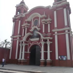
The church in this more “sketchy” neighborhood.
And I take note that the traffic coming across that distant bridge is coming from an area where the police told me in 2013 to not go any further.
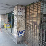
Some of the graffiti in the area.
The whole street here was lined by little religious shops selling candles and other worship items.
Another church in this graffiti-filled area.
And a tall building literally covered in graffiti (click to enlarge).
Even though I felt “OK” the entire time I was walking through here, I was much more peaceful when I got a few blocks closer to the Plaza de Armas.
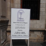
Sign for the “Lord of the Miracles” church.
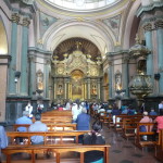
Inside that church.
… and the exterior of another church.
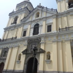
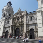
Soon, I was in front of the Lima Cathedral on the main Plaza de Armas, and realized that I never visited the inside when I was in Lima the first time.
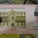
I soon purchase a ticket that gives admission to the cathedral, and to a nearby archbishop’s residence/mansion/museum.
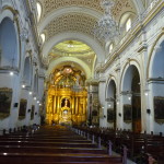
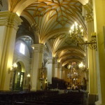
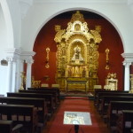
This is inside the cathedral.
A photo of my brochure, also talking about how this is now a Museum of Religious Art.
Another photo of my brochure. (I took it so I could later read the words in the photo).
… also inside the cathedral.
There is beautiful artwork inside the cathedral.
… and more.
It is fascinating in here.
Another inside the cathedral.
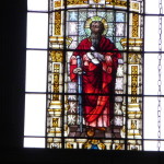
With full zoom, taking a look at a stained glass window high up near the ceiling.
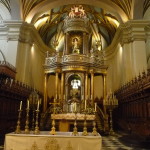
Near the front of the cathedral.
I found a little staircase leading down under the front part, and found a little cemetery under here.
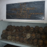
And a glass case filled with human skulls.
The staircase leading down there.
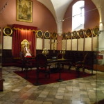
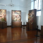
Then, I walked up some stairs and found this large room.
Looking back up the stairs as I return to the bottom.
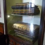
Some huge books in the music room.
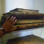
My hand, just to show the size perspective. I think the sign says that these books contain old musical scores used by the church.
I don’t fully understand the sign … but it talks about “Chorale Books”.
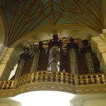
A large pipe organ up on one side of the cathedral.
Back outside, in the Plaza de Armas.
Getting my ticket ready to enter the “Palacio Arzobispal de Lima” – or Archbishop’s Palace of Lima.
The front of the Archbishop’s palace, right next to the cathedral.
Inside part of the Archbishop’s palace.
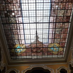
A beautiful ceiling in the palace.
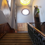
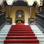
The staircase leading upstairs. This looks familiar. Perhaps I did visit this part back in December 2013.
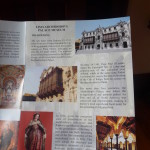
Part of my brochure that talks about the Archbishop’s Palace.
More of the inside…
Part of the elaborate residence. I felt slightly bored in here, so I rushed through. My heart was guiding me to get back outside and go elsewhere.
Soon, I was again walking around the Plaza de Armas.
And back down a nearby pedestrian street.
I was shocked when I earlier saw this old building. It is hard to see, and you would never know it from the outside, but inside this old building is a modern grocery store (Plaza Vea), and a modern department store (Oechsles).
I cannot remember why, but this blind beggar really caught my attention with his energy. I believe he was singing. This time, I felt guided to leave a small amount in his cup.
Finally, I returned to the stop of “The Metropolitano” bus … one that would take me right back to Miraflores for the grand total of $1.00 US.
I retired early that night, tired from all of the walking. Tomorrow morning I will have to be up quite early to catch my next bus … a “Cruz Del Sur” bus, with a destination of Trujillo … half way up the northern coast of Peru.
Copyright © 2015 by Brenda Larsen, All Rights Reserved
