Here is round three of my long-overdue photos. As usual, each photo displayed is a thumbnail image. If you desire to see the full-resolution photo, simply click on the image. This allows you to view or download.
Visa Trip To Mexico
On May 2, 2011, Keith and I set out for a quick trip to Mexico to renew our visas. We left San Marcos at 6:00 a.m. on a Monday morning.
This photo of the lake was taken at 6:17 a.m. from a viewpoint high up on the mountain above Lake Atitlan. I love how the sunrise was reflecting off the lake.
Another photo of the same view, this one without zooming in.
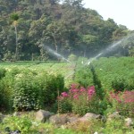
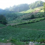
At just after 8:00 in the morning we had already passed Xela, and were driving by this beautiful little farming community on our way to visit a hot springs — one that I have never before visited.
This beautiful little farming village is beautiful — the most well landscaped and maintained farming area I have seen in all of Guatemala. It reminds me of a little agricultural area back home.
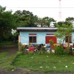
A very typical home that we drove by — this one is in the farming area.
The fields were beautiful, irrigated, lush, green, and quite amazing compared to what I have seen elsewhere in Guatemala.
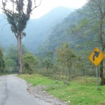
We began to drive up this old road toward the canyon straight ahead. Our destination was a hot springs that Keith has not visited in over a year.
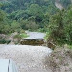
As we drove around a tree that was laying in the road, we were quite surprised to discover this big hole in the road. It is at least ten feet wide and perhaps twenty to thirty feet deep. It seems that the bridge was washed out a year ago during Tropical Storm Agatha, and it has never been rebuilt. It is a good thing Keith was paying attention to the road.
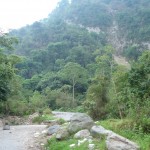
Another view of where the bridge is washed out, this one with less zoom, showing a little bit more of the surrounding scenery.
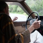
Keith, backing up the truck as he turns around on the narrow mountain road.
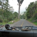
Driving back down the mountain road toward the valley below. In the near foreground is Keith’s dashboard. It is covered with shells, rocks, crystals, pine cones, and other miscellaneous little goodies.
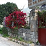
One of the homes we passed on our way back to the highway. I just love the beautiful flowers here.
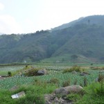
Another view of some of the beautiful mountainous farmland.
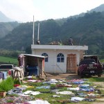
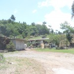
Another home that is typical for this area. This one has the laundry spread out all over the ground and walls, taking advantage of a little warm sun to dry things out.
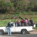
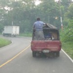
A very typical mode of public transportation that is found all over Guatemala. People just crowd into the back of pickup trucks, paying the driver a small sum of money to carry them on to their next destination.
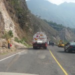
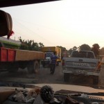
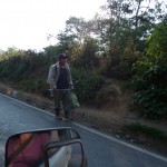
A constructons area through which we passed. Road construction here is very poorly marked. There were no warning signs giving any advance notice — just the young man at the left side of the road holding a red flag.
Political campaign signs can be seen all over Guatemala. I am told that the elections are next November. This sign reads : “Better times are coming for all — UCN”
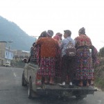
Another very familiar sight in small-town Guatemala — another crowded pickup truck transport.
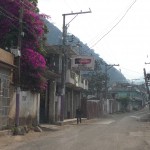
A very typical small town through which we passed.
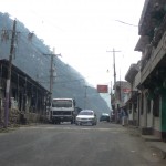
Another scene in the same little town. The roads are narrow enough that there is not really room for parking. When someone parks, such as this truck, the road becomes basically one-way, with people having to take turns going the opposite way.
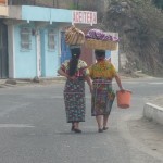
A very common scene all over the backcountry of Guatemala. These two Mayan women are carrying huge loads balanced on their heads.
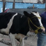
This man was leading his cow down the main sreet of his small town.
Return To Guatemala
Keith and I shopped for several hours in the Mexican town of Tapachula (very southern end near the Pacific coast) and then returned to the Guatemala border where we rented two separate rooms in a very inexpensive hotel right at the border. At around 5:00 a.m. on Tuesday, May 3, we returned through Guatemala customs, beginning our drive back to San Marcos.
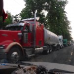
At around 6:00 a.m. we passed by a different border crossing — this being one that the large semi trucks have to use. This is just a tiny portion of the huge long lineup of trucks that were waiting to pass through customs. This line was at least a mile or two long. I’m glad I didn’t have to wait in this line here.
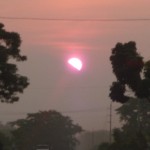
A view of the sun rising at 6:00 a.m. as seen through the dashboard of Keith’s truck. I’m not quite sure, but I think it was a mountain that was partially blocking the sun. It is so hazy right now that I cannot tell for sure.
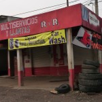
A small tire shop — a very typical scene along the highways.
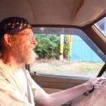
A great view of Keith as he drives us into the morning sun.
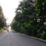
The highway on which we were driving at 6:30 in the morning — still in the more humid and tropical portion of Guatemala, on the westen side of the mountains.
A typical home along the highway … all the laundry is out front drying.
Coming up to a speedbump in a small town. There are speedbumps all over and they are quite large, being the only way to get drivers to slow down in populated areas.
At such speedbumps, vendors often sell their wares to the passing vehicles. In this photo you can see a young man selling newspapers, right out in the middle of the road.
Another pickup truck driving along the highway with a load of cargo and a single passenger. Sorry for the poor quality of this photo … it was taken through a dirty windshield.
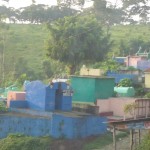
We passed this small and very colorful cemetary a few minutes later. Again the photo is quite cloudy because of a dirty windshield.
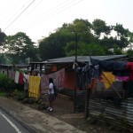
A young woman standing by the road, waiting for some type of public transport to pass by — a van or pickup. Again, notice the homes and the laundry. This is very typical all over this area of Guatemala.
Shortly after 7:00 a.m., Keith and I were high up on the western slopes of a very tall mountain. Because of the huge rainfall on this side of the mountain, the area at the top is like a tropical rain forest — very lush, green, and wet.
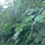
These huge leaves by the side of the road are several feet across.
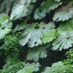
Another view of the beautiful leaves near the highway.
I’m not sure exactly what this man is carrying, but it is some type of hand-pumped presurrized spray canister … men like this were all around this part of the mountain this morning. I’m guessing they were out spraying their corn or vegetable fields — either to kill bugs or possibly to fertilize or something … anyone’s guess.
A small town way up at the top of the mountains, perhaps 8,000 or 9,000 feet in altitude. This is a beautiful little farming community. Apparently they grow lots of crops up at this altitude.
Another view of this high-mountain community.
And another … from a little further away.
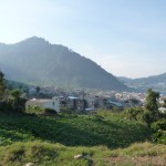
This beautiful field is even higher up the mountain, perhaps around 9,000 feet. The people here plant crops almost anywhere, often on slopes much steeper than these.
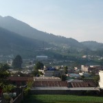
A portion of another high-mountain town, this one being on the eastern (dryer) slopes of the mountain as we begin our descent down toward Xela.
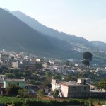
Another view quite typical of towns in this area.
After arriving in Xela around 8:00 a.m., we spent a few hours shopping in the huge outdoor markets before heading for home.
This photo was taken around 11:45 a.m. as we climbed back over the mountain that surrounds Lake Atitlan (where I live). You can’t see it well in this photo, but the road here is very poor, filled with potholes that have not been repaired for a very long time.
A typical rural home, next to the mountain road. We are still climbing up the mountain surrounding Lake Atitlan. Soon we will be descending back down into the lake.
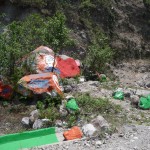
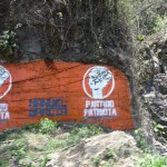
As we descend back down toward Lake Atitlan and San Marcos, I could not help but snap a few photos of these unique political campaign adds. Starting a month or two ago, I noticed that rocks were being painted almost everywhere — each being uniquely colored, containing symbols identifying a particular political party.
In this photo you can see orange and blue rocks that belong to one party, and green rocks that were painted by a different party.
The Patriot Party painted this large rock face.
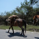
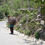
I haven’t seen this very often. Horses are not all that common here. Usually the men carry the firewood on their backs, suspended by straps over their forehead. These people must have a little more money. They were carrying firewood along the road on the backs of these beautiful horses.
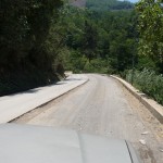
I chuckle every time I see this road. We are near a small community about half way down the mountainside. If you look closely you can see that the left lane is paved very nicely, and is about eight inches higher than the lane we are in, which is just gravel.
This road has not changed in 13 months. Keith tells me that they ran out of money and never finished it. Apparently it has been like this for a few years.
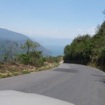
If you look closely, you can see a tiny portion of Lake Atitlan at the very center of the photo. We are almost home.
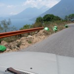
Another view while descending into Lake Atitlan. I took this photo because of the political adds. The orange guard-rail was painted by the political party that uses orange as their color. The green rocks were painted by a different party.
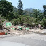
Another cluster of political advertising. As you can see, they paint just about any rock, guard-rail, or wall — at least all of the ones near the road. I still find it quite humorous.
A man carrying a huge load of wood on his back (suspended from his forehead). We are only a few minutes from San Marcos in this photo.
A Scorpion Tale
Full details are in my blog in the entry titled: A Scorpion Saga, but I will briefly summarize here. At exactly 11:30 p.m. on Thursday night, May 19, I was stung twice by a scorpion that had been crawling on my left shoulder before falling onto the bed by my right arm. To my dismay I could not find him after turning on the lights.
At precisely 11:30 a.m. on Friday morning, May 20, I was meditating on my bed and stretched my bare legs out on top of my blanket. The little stinger-guy got me again on the left thigh, just above the back side of my knee.
Ouchie … those stings hurt. Well I finally caught him. He is now living out in the wilds about a mile from here.
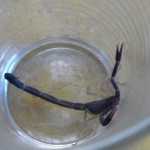
This is the little guy in the kitchen glass that I first used to capture him. He was hiding under the fold of my blanket, cowering in his little half-exposed cave. Once I spied him, he was quite easy to catch.
His body is about 1.25 inches long, His pinchers stick out in front another inch, and his tail is about 2 inches long when stretched out straight.
Soon after capturing him, I transferred the little guy into an empty peanut butter jar — with a lid.
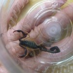
Here he is all scrunched up, with his pinchers pulled back and his tail tightly curled. I put my hand under the jar to illustrate how big he is.
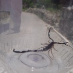
Soon, with a painful sting in my left leg, I walked the little guy over to Keith’s house so that he could turn him loose further down the road — far away from my apartment. As I walked (or should I say limped), he stretched out to full size in the jar. I paused briefly to snap this photo as I walked down the cobblestone road on my way to Keith’s.
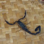
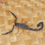
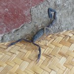
Keith dumped the little guy out on a large straw mat in order to give me a photo opportunity. He is very fast, but remained mostly still for the photos.
Another view of the little guy.
And one more photo. At times he began to run away and Keith had to herd him back toward the straw mat.
The two stings on each arm did not swell much, but they hurt profusely. The toxins from those late-night stings went quickly into my blood stream because I got quite numb and tingly in my mouth very quickly with them. I got quite the “buzz” too. Apparently some people like to smoke the scorpion tails because it gives them a nice high.
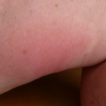
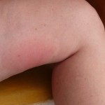
The third sting on my leg, however, seems to have been more in the muscle. It did not spread to my head quite as fast, and got quite red and swollen on my leg. You can barely see it in this photo, but I had an area about seven inches long and four inches wide that was hard, swollen, red, and very achy and itchy.
This photo was taken almost 24 hours after the third sting.
Another view of my red swelling. This lasted for several days, as did the itching and slight aching. The dentist-office-like tingly numbness in my mouth lasted about 24 hours.
Foot Follow-Up
Since I had my camera out taking photos of my body, I decided to take a few photos of my foot. For those who do not know, I received a severe third-degree burn in November 2009 while participating in a five-day indigenous festival in the north-central Yucatan. I ended up going through huge inner growth while facing deep fears and remaining in a small Mexican town, dealing with a local doctor. After a huge area of dead skin was removed, I spent three months recuperating in Valladolid Mexico.
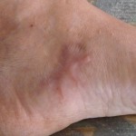
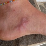
Since I have not shown any followup photos for a very long time, I decided to add a few here. As you can see, much of the burn area eventually filled in with actual, healthy skin. The middle area looks much better than I ever imagined, being covered by scar tissue.
Another view, a little further away. I continue to vigorously massage the scar tissue on a frequent basis. I remain quite convinced that the scar tissue continues to diminish while being replaced by healthy vibrant skin.
Around Town
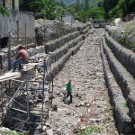
Since I rarely carry my camera around town, I stopped to take these next two photos while carrying my scorpion over to Keith’s home. This first photo is of the river channel, looking from the bridge up toward the mountains.
The young men at the left are still repairing a wall in an attempt to protect their property (house/restaurant to immediate left) from further damage during this year’s rains. A few weeks earlier, this river channel was quite clean. Already, from several storms, the upper area is quite littered with smaller rocks that washed down during minor flash floods.
So far, nothing even close to Tropical Storm Agatha has hit this year.
This final photo is taken from the same spot on the bridge, but looking down toward the lake.
As you can probably see, the channel is about twelve feet deep and equally as wide. Last year at the end of May, this entire channel was filled to overflowing with large rocks that had washed down during the flash flooding of Tropical Storm Agatha.
