This post covers my time in Lima. It contains 136 photos. I arrived in Lima shortly after midnight, early in the wee hours of the morning on December 9, 2013, and later (after meeting up with my friend Judy) flew to Iquitos on December 15.
As usual, the photos in this post are thumbnail images. Please click on any photo to enlarge it. The thumbnails leave much to be desired as far as colors and resolution – plus the thumbnails clip all of the edges. I use thumbnails for the post itself, because it gives people an opportunity to get a summary glimpse without downloading huge amounts of data for the high-res photos.
CLICK ON ANY PHOTO TO ENLARGE TO HIGH RESOLUTION
Around Miraflores
For the first five nights, I explored Lima by myself, using the small hotel “Inka Frog” as my base. I was in the barrio of “Miraflores” which is the main tourist area of Lima. It is located near the beach, and is very much like a “Latin-American version of Los Angeles”.
These first photos are taken in and around Miraflores.
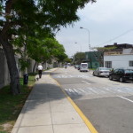
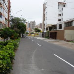
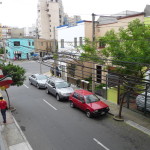
A typical residential street.
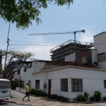
Typical homes, with some construction in the background.
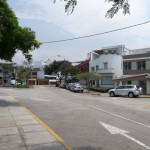
More scenery in the same neighborhood.
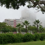
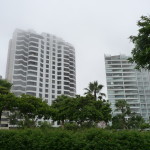
Some high-rise buildings near the beach. This photo is very typical of the weather here. Lima is situated in a desert area, and is extremely dry.
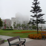
However, Lima is situated on the Pacific ocean, and gets a lot of white fog that blocks the sun for most days of the year. There were a few times that I saw blue sky while walking around, but most of the time, the sky was just white like this.
Another view of tall buildings by the beach … showing the white foggy sky.
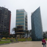
And more beach buildings in a different part of Miraflores. This is a very afluent part of Lima, and is quite expensive.
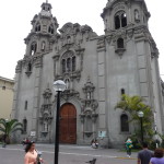
An old church in the center of Miraflores.
A quiet side-street near the center of Miraflores.
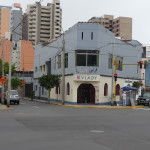
The blue parts of this corner building are my hotel “Inka Frog”. My room was upstairs on the left side, about in the middle.
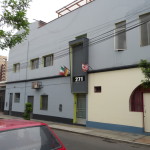
This is the entrance to my hotel, “Inka Frog”. My room is upstairs, just left of the flags.
The hotel (actually hostel) sign inside the lobby.
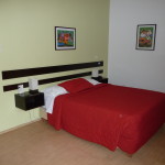
My bed. The room looks large and nice in this photo, but it was actually quite old and small. The photos make it look much larger and newer.
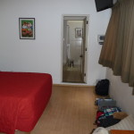
Another view in my room, looking toward the bathroom.
The view from my hotel room.
Huaca Pucllana
On Tuesday morning, December 10, I walked all over the beach area, and even did a little wading, but I did not carry my camera with me. The sun was so hot, even with the clouds, that I got the beginnings of a good sunburn.
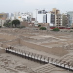
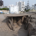
On Wednesday, December 11, I loaded up with sunscreen, grabbed my camera, and began to explore. My first stop was an old “ruins” site called Huaca Pucllana (pronounced: wha-cuh pook-YAWN-uh). The ruins were made from clay bricks. Archaeologists and workers have tediously worked to restore portions of the site, attempting to show how it used to look.
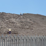
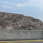
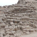
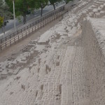
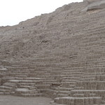
On the left is how the mound looks before restoration. On the right, if you enlarge the photo and look closely, you can see how the workers have re-stacked the clay bricks into organized levels like it might have been in ancient times.
Another side of the large ruins, partially restored.
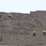
A closer view of workers busily working to restore another section of the walls.
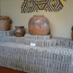
Inside the museum. Several old pots (I’m guessing they are NOT original) on top of a stack of the old clay bricks.
Dated 200-700 A.D., this site is dedicated to the female divinity of the sea.
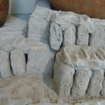
Close-up of some of the old clay bricks used on the site.
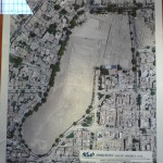
A map of the site, showing how it fits into the surrounding neighborhood. If you look closely, you can see that the ruins are about six blocks long and a couple blocks wide.
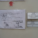
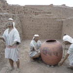
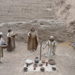
This is an artist recreation of the short indigenous people working in a restored portion of the ruins.
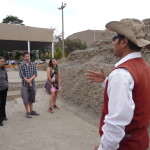
A tour was included in the admission price. This is our tour guide.
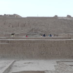
Looking up at the ruins from down below.
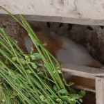
During part of the tour, we walked by a tiny zoo exhibit, showing the animals that lived here in ancient times. This is a guinea pig. In this part of the world, guinea pigs are a food delicacy. Yes, they eat them here.
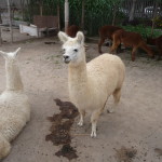
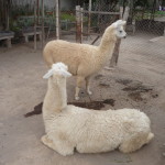
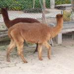
Llamas and alpacas. I am not sure which are which.
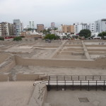
Exploring on the top of the ruins. This photo clearly shows how the ruins are surrounded by city.
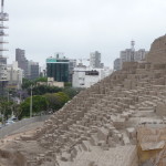
Looking down the side of the ruins, with more city in the background.
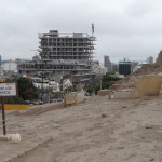
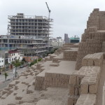
Nearby construction behind the “Plaza de los ancestros” – or “Plaza of the Ancesters”.
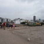
Our tour group atop the ruins.
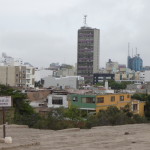
A different view from the “Plaza de los ancestros.”
And yet-another view from the top of the ruins, looking in a different direction.
Similar view of the previous construction site with the reconstructed ruins in the foreground.
Photos of some of the human remains that were found here. They believe that this was a burial place.
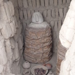
This is a mock-up of how the Wari people were buried … wrapped up in an upright position, with a ceremonial mask.
Some of the original clay bricks on top of the unrestored parts of these ruins.
Looking down the side of the ruins, with a view of the street below.
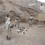
Another artist’s recreation of a ceremony being held by these ancient people.
Another view of the same thing.
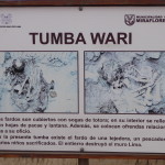
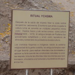
A sign (in Spanish) describing more of the history, after the Empire of the Wari people fell. Another civilization lived here from 1000-1470 A.D. (The Ychsma culture). It is believed that these people were very religious, and that this was one of their sacred sites.
Another view from below.
Old Historic Lima – El Centro
Both Tuesday afternoon (after my beach exploring) and Thursday (all day), I took buses downtown to the historic center of Lima. On Tuesday I just randomly took public buses through areas, hoping I would not get lost. On Thursday, I did a little research first, and found an express bus, much like an above-ground subway system — one that took me directly downtown.
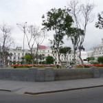
As I explored the center of Lima, I first stumbled across a plaza that I thought was the historic “Plaza de las Armas”. It was only later that I realized I was lost, and was actually at the Plaza San Martin.
This is one of the huge white buildings surrounding the Plaza San Martin. The writing on the building reads “Palacio de Justicia” (Palace of Justice).
And another huge white building. It was actually a very immaculate place.
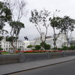
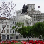
This photo includes the gorgeous park at the center of the plaza. There is a huge statue in the middle – one of a man on a horse. I can only assume it is San Martin.
Another view showing the statue in the middle.
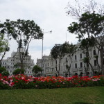
And another view with the gorgeous flowers and trees.
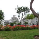
A similar view with a unique tree in the right foreground.
A closer view of the statue. I zoomed in on this photo, and it looks like the words on the front read “La Nacion – El General D Jose San Martin”.
As I leave Plaza San Martin, I look back for one more photo of the plaza. I didn’t take many photos, but behind me is a long walking street that continues many blocks, lined on both sides by shops and restaurants. At the end of the walking street is the Plaza Mayor, also called “Plaza de las Armas”.
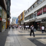
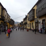
This is the only photo I took that shows a segment of the large walking street. It is crowded with modern stores and restaurants.
On Tuesday (December 10), I was actually unable to find the Plaza de las Armas at first. Instead, I found the “Monasterio de San Francisco”, which is an old monastery. I took a tour, but they would not allow photographs inside. In the basement are a series of catacombs, with chambers filled with human bones. I don’t fully understand the reasoning, but the catacombs were a burial ground, and each skeleton was taken apart. All skulls put in one place, all femurs in another, etc…
A sign pointing to the museum and catacombs.
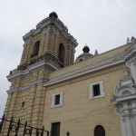
The front of the monastery.
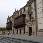
Another portion of the building off to the side.
The plaza in front of the monastery, with lots of pigeons.
It was only as I walked back to find a bus to take me to Miraflores that I stumbled across the Plaza Mayor (Plaza de las Armas). I took this and the next two photos on Tuesday … but was tired and it was getting late. I almost got lost on the way back to my hotel, but when the bus I was on started to go a different direction, I got off and took a different bus.
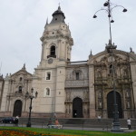
Part of a church surrounding the Plaza Mayor.
The front of the same church.
On Thursday, Dec 12, 2013, I took the “Metropolitano” bus back downtown, with the intention of watching the daily “changing of the guard” here at the national palace.
As I sat here on a bench (I was in the center park area) I visited with a young man that lives here in Lima. I asked him if it was safe to walk to a nearby barrio (neighborhood) and in Spanish he told me “No, it would not be safe, even for me (him).”
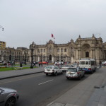
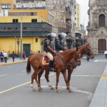
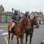
Two mounted policemen in front of the national palace.
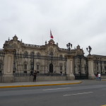
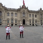
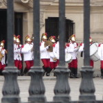
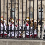
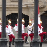
Guards in front of the palace.
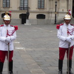
A closer view of the guards.
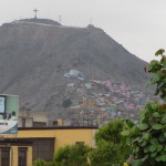
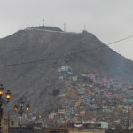
I had an hour to spare, so I walked to the edge of that dangerous neighborhood. In the distance, on the mountainside, I was able to see a very poor area of Lima.
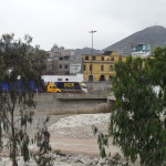
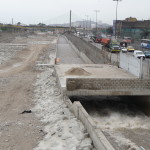
Looking from the back side of the national palace, across a river. On the other side is the not-so-safe neighborhood.
Another view of the poor neighborhood up on the mountainside.
Feeling quite safe, I walked across the bridge, crossing over the river, arriving at the edge of the “dodgy neighborhood”. I felt safe because there were several armed policeman hanging out in that particular area.
Standing on the bridge, I took this photo looking into the neighborhood. It definately has a different energetic feel to it.
I did not go any further.
Now back at the palace, waiting for the “changing of the guards” to begin.
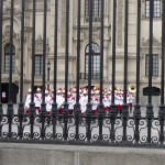
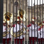
The first to exit the palace was a military band. They marched around for a while, playing varioius military songs.
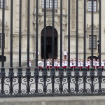
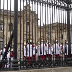
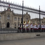
In this photo, the band is up at the base of the palace. The guards made us stand on the street, ten feet from the fence. Therefore, all of these photos are obscured by the bars of the fence.
More of the band.
Eventually, the band moved up to the fence and then walked up on a stage where we could see them better.
Now they are on the stage area, playing their music.
A close-up.
Another with the palace in the background.
Finally, the guards came out and began to slowly march around. They did a very interesting “high step” as they marched ever so slowly.
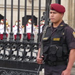
This is the guard outside that made us stay on the street. In this photo, the guards are now marching back into the palace.
After the “changing of the guards” I walked over to a convent, expecting to take a guided tour. But there was no tour for a while, and I decided to just walk around a little on my own. There wasn’t much to see.
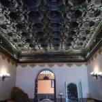
This is the roof of the main hall near the entrance.
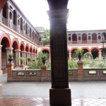
This is the inner courtyard of the convent.
A piece of furniture in the convent.
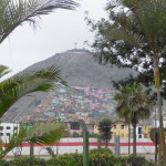
As I prepared to leave the center of town, I visited another park – one that exhibits parts of an old city wall. I didn’t take any photos of the wall, but was still fascinated by the homes on the mountainside in the distance.
Zoomed in photo of the same scene.
It was late in the afternoon, so I walked back to the bus stop for the “Metropolitano” express bus, and was soon back in the barrio of Miraflores.
The Beach
On several occasions, I explored the beach area on foot. These next photos were all taken in the area of Miraflores. I took most of these photos on Wednesday, December 11, 2013.
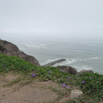
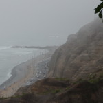
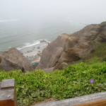
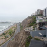
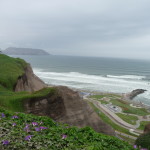
On the edge of the cliff, looking down at the Pacific ocean below.
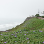
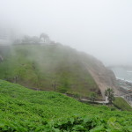
All along the crest of the cliff were beautiful trails, lined by parks, exercise equipment, and lawns. This view includes a small lighthouse and some beautiful flowers.
A zoomed in photo of the previouis image. If you click on the photo to enlarge it, you will see the lighthouse just to the right of the trees. You can see the surf below.
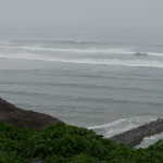
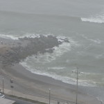
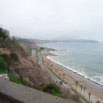
Looking at the surf down below.
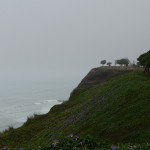
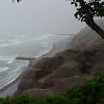
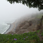
A different view showing more of the cliffs.
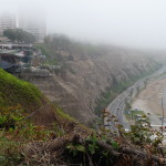
And another. This one has much more haze.
The fog is rolling in, masking the view below.
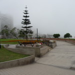
One of the gorgeously-landscaped walkways above the ocean below.
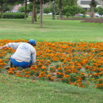
A gardener working on one of the many colorful flower beds.
Note the white fog blocking the buildings behind the bench and tree.
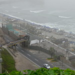
You will need to click and enlarge this photo to see the details. Between the foreground and the far hill, there is a little valley with a road that runs down to the beach. From a bridge that crosses the valley on the left, I followed a path down the the beach. There were over 300 steps, and the walk was exhausting. Note, I made this hike on Tuesday, when I did not have my camera with me.
Once at the bottom, I took a while to step out into the Pacific ocean waters. The beach was a very scratchy fine gravel, and the water was cold. The beaches here are mostly used by surfers, because there is also a strong surf here.
It was during my first and only visit to the water that I began to get sunburned.
This photo is taken from above. It shows the little cove where I briefly went wading on Tuesday.
This photo shows the area just to the left of the previous one. I walked across that bridge down below and explored this area as well. It is lined with numerous surfing schools.
Looking down a different tiny canyon, glancing at the beach below. I was surprised by the numerous tennis courts that were scattered all over this area. Some had concrete floors, but many were clay courts. At the bottom of the “V” of this little canyon, you can see one of the tennis courts. This one is green.
On Tuesday, I walked all the way along the beach below, not climbing back up to the city until I reached a road in the far distance. At that point I was just beyond the Miraflores neighborhood, and climbed up into the Baranco neighborhood.
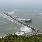
A private pier and seafood restaurant down below.
A couple of surfers down below, waiting for a wave to catch.
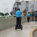
Many of the policeman in the beach area had their own unique two-wheeled “segway” transportation. They were all over the place.
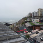
If you look closely on the upper left, there is a large, modern shopping mall on the edge of the cliff. The beach is down below.
Another view of the same area.
This is a view taken from the mall itself, looking down at the beach. The mall is called “Larcomar” because it is at the end of “Larco” street, at the edge of the “mar” or “sea”.
Another view with the mall on the right.
A better view of the mall itself. This area of Lima is very modern.
Part of the park near the “Larcomar”.
A small tourist information booth near Larcomar.
Yet-another beach view taken two days later.
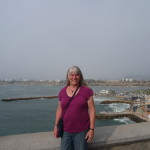
And finally, one with me in it.
Saturday Tour
On Friday morning, my friend Judy arrived from San Diego, and I moved out of my hotel room (they had no space for the weekend) and shared a room with Judy at her hotel. She had met a young couple (Erica and Sam) on the plane and they offered to take her on a tour of Lima.
Late Saturday morning, we met up with Erica and Sam. After treating us to a delicious meal at a very nice restaurant, we loaded up in their brand-new SUV and began to explore.
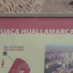
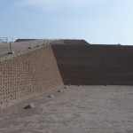
Our first stop was another ruins named “Huaca Huallamarca”. It was quite similar to the one I visited earlier, but much smaller.
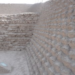
The reconstruction here was much different that that of the other ruins.
One of the walls.
I loved these trees.
A re-creation of how they were buried.
Zoomed out view of the same, showing city in the background.
Another artistic re-creation.
And Another.
Back To The Beach
Next, we drove along the beach until we had a gorgeous view looking back at Lima – including the Miraflores and Baranco regions.
Looking back at Lima in the distance.
Another view of Lima in the distance.
Me, with Lima in the background.
Same, with less zoom.
Judy and Brenda.
Another with Judy and I.
And another.
Erica, Brenda, and Judy.
Erica and Sam.
Erica and Sam.
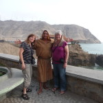
Judy, the “Fraile”, and Brenda.
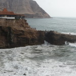
There is a legend here, telling that a “Fraile” or Friar fell in love with a woman, but he could not be with her, so he jumped off the rock in the background, landing in the rough currents below. I don’t know how the legend ends …
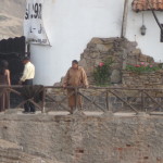
This man in the brown robe repeatedly re-enacts the event multiple times, jumping off the cliff into the ocean surf below, and then collecting tips from the tourists. We tipped him to get this photo.
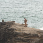
Just to the right of center is where he jumped from.
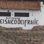
There is a restaurant here named “El Salto Del Fraile” which translates to “The Jump of the Friar.”
The “Fraile” preparing to walk down and make another jump.
The “Fraile” standing on the rock, preparing to jump.
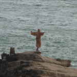
Posing and ready to go.
In mid-air, on his way down.
The Robbery
Immediately after taking the above photos, we got back in the SUV and headed back to Lima. Since the beach road was one-way, leading away from Lima, we had to go through a tunnel that took us briefly through the corner of a neighborhood called “Chorillos”.
I was enjoying the ride and had my window down. I was not aware that the neighborhood was dangerous. Sam saw it all unfolding but did not warn me because he didn’t realize my window was down. He quietly told his wife to roll up her window and I was not paying attention.
Suddenly, as we pause in traffic, a man appears in my window, and in less than a half-second he reaches inside, grabs a small cotton purse off my lap, yanks on it, and disappears down the street as the flimsy straps break on my neck.
I’ll write all about it in my blog. It was quite the exciting event. We even recovered the purse, but my wallet was missing. I lost cash and all my credit/debit cards.
All is now well, however, as I have managed to get new cards while transferring money through a bank in the interim.
This ends my Lima photo post.
Copyright © 2014 by Brenda Larsen, All Rights Reserved
